|
|
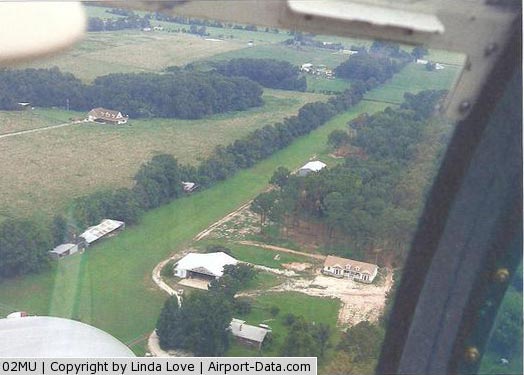
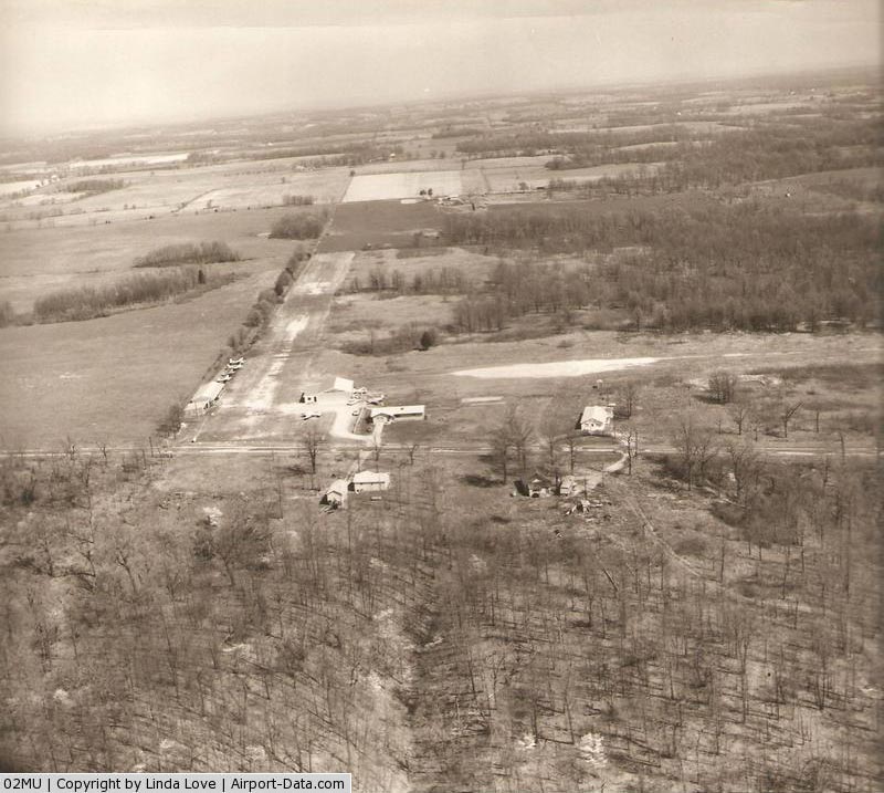
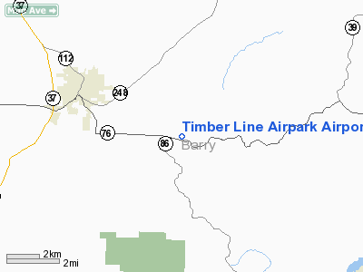
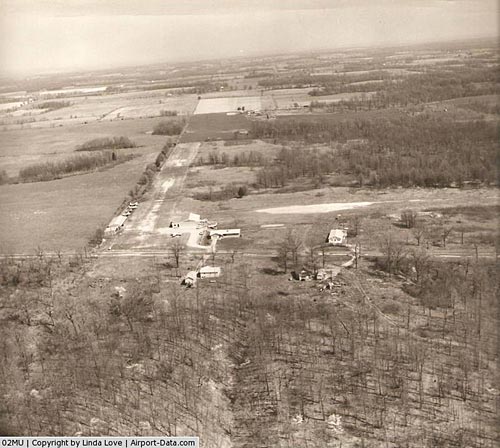
Timber Line Airpark Airport |
|
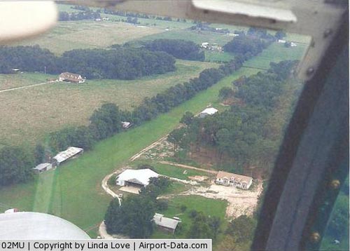 |
(Click on the photo to enlarge) |
|
 |
(Click on the photo to enlarge) |
Location & QuickFacts
| FAA Information Effective: | 2008-09-25 |
| Airport Identifier: | 02MU |
| Airport Status: | Operational |
| Longitude/Latitude: | 093-47-50.7090W/36-39-15.2380N
-93.797419/36.654233 (Estimated) |
| Elevation: | 1550 ft / 472.44 m (Estimated) |
| Land: | 30 acres |
| From nearest city: | 3 nautical miles SE of Cassville, MO |
| Location: | Barry County, MO |
| Magnetic Variation: | 05E (1985) |
Owner & Manager
| Ownership: | Privately owned |
| Owner: | Ronald C. Love |
| Address: | 4235 Mcray St
Springdale, AR 72762 |
| Phone number: | 479-751-4380 |
| Manager: | Ronald C. Love |
| Address: | 4235 Mcray St
Springdale, AR 72762 |
| Phone number: | 479-751-4380 |
Airport Operations and Facilities
| Airport Use: | Private |
| Wind indicator: | Yes |
| Segmented Circle: | No |
| Control Tower: | No |
| Landing fee charge: | No |
| Sectional chart: | Kansas City |
| Region: | ACE - Central |
| Boundary ARTCC: | ZKC - Kansas City |
| Tie-in FSS: | COU - Columbia |
| FSS on Airport: | No |
| FSS Toll Free: | 1-800-WX-BRIEF |
Airport Communications
Airport Services
| Airframe Repair: | MAJOR |
| Power Plant Repair: | MAJOR |
Runway Information
Runway N/S
| Dimension: | 1900 x 125 ft / 579.1 x 38.1 m |
| Surface: | TURF, |
| |
Runway N |
Runway S |
| Traffic Pattern: | Left | Left |
|
Radio Navigation Aids
| ID |
Type |
Name |
Ch |
Freq |
Var |
Dist |
| PLK | NDB | Point Lookout/dcmsnd | | 204.00 | 03E | 27.4 nm |
| ILJ | NDB | Willard | | 254.00 | 03E | 42.4 nm |
| SLG | NDB | Siloam Springs | | 284.00 | 04E | 43.6 nm |
| EOS | VOR/DME | Neosho | 120X | 117.30 | 07E | 32.8 nm |
| HRO | VOR/DME | Harrison | 072X | 112.50 | 04E | 34.7 nm |
| DAK | VOR/DME | Drake | 025X | 108.80 | 07E | 41.5 nm |
| RZC | VORTAC | Razorback | 111X | 116.40 | 04E | 29.1 nm |
| SGF | VORTAC | Springfield | 116X | 116.90 | 04E | 47.7 nm |
| DGD | VORTAC | Dogwood | 031X | 109.40 | 06E | 49.5 nm |
Remarks
Images and information placed above are from
http://www.airport-data.com/airport/02MU/
We thank them for the data!
| General Info
|
| Country |
United States
|
| State |
MISSOURI
|
| FAA ID |
02MU
|
| Latitude |
36-39-15.238N
|
| Longitude |
093-47-50.709W
|
| Elevation |
1550 feet
|
| Near City |
CASSVILLE
|
We don't guarantee the information is fresh and accurate. The data may
be wrong or outdated.
For more up-to-date information please refer to other sources.
|
|