 |
|
Location & QuickFacts
| FAA Information Effective: | 2008-09-25 |
| Airport Identifier: | MU35 |
| Airport Status: | Operational |
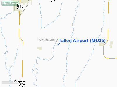
| Longitude/Latitude: | 094-47-11.8850W/40-16-02.9660N
-94.786635/40.267491 (Estimated) |
| Elevation: | 1123 ft / 342.29 m (Surveyed) |
| Land: | 5 acres |
| From nearest city: | 2 nautical miles NE of Arkoe, MO |
| Location: | Nodaway County, MO |
| Magnetic Variation: | 05E (1985) |
Owner & Manager
| Ownership: | Privately owned |
| Owner: | George W. Tallen |
| Address: | Rt 1, Box 157a
Conception Jct., MO 64434 |
| Phone number: | 816-562-2762 |
| Manager: | George W. Tallen |
| Address: | Rt 1, Box 157a
Conception Jct., MO 64434 |
| Phone number: | 816-562-2762 |
Airport Operations and Facilities
| Airport Use: | Private |
| Wind indicator: | Yes |
| Segmented Circle: | No |
| Control Tower: | No |
| Landing fee charge: | No |
| Sectional chart: | Omaha |
| Region: | ACE - Central |
| Boundary ARTCC: | ZMP - Minneapolis |
| Tie-in FSS: | COU - Columbia |
| FSS on Airport: | No |
| FSS Toll Free: | 1-800-WX-BRIEF |
Runway Information
Runway 17/35
| Dimension: | 2000 x 100 ft / 609.6 x 30.5 m |
| Surface: | TURF, |
| |
Runway 17 |
Runway 35 |
| Traffic Pattern: | Left | Left |
|
Radio Navigation Aids
| ID |
Type |
Name |
Ch |
Freq |
Var |
Dist |
| EVU | NDB | Emville | | 317.00 | 05E | 7.6 nm |
| AZN | NDB | Amazon | | 233.00 | 06E | 23.7 nm |
| ICL | NDB | Clarinda | | 353.00 | 04E | 29.7 nm |
| FNB | NDB | Brenner | | 404.00 | 05E | 38.5 nm |
| EZZ | NDB | Cameron | | 394.00 | 03E | 40.1 nm |
| SDA | NDB | Shenandoah | | 411.00 | 05E | 40.6 nm |
| CRZ | NDB | Corning | | 278.00 | 04E | 43.8 nm |
| UNE | NDB | Union County | | 379.00 | 04E | 46.1 nm |
| AYB | NDB | Auburn | | 430.00 | 05E | 47.7 nm |
| RDK | NDB | Red Oak | | 230.00 | 04E | 49.8 nm |
| RBA | VOR/DME | Robinson | 019X | 108.20 | 04E | 38.5 nm |
| STJ | VORTAC | St Joseph | 102X | 115.50 | 08E | 19.5 nm |
| LMN | VORTAC | Lamoni | 114X | 116.70 | 07E | 42.4 nm |
Remarks
- APPROACHES ARE MAINTAINED FOR A 20:1 GLIDE SLOPE AND TRANSITIONAL AREAS FOR A 7:1 SLOPE.
Images and information placed above are from
http://www.airport-data.com/airport/MU35/
We thank them for the data!
| General Info
|
| Country |
United States
|
| State |
MISSOURI
|
| FAA ID |
MU35
|
| Latitude |
40-16-02.966N
|
| Longitude |
094-47-11.885W
|
| Elevation |
1123 feet
|
| Near City |
ARKOE
|
We don't guarantee the information is fresh and accurate. The data may
be wrong or outdated.
For more up-to-date information please refer to other sources.
|
|


