 |
|
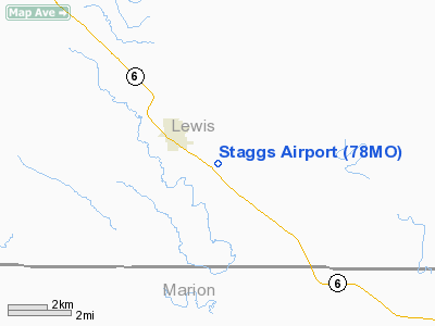
Location & QuickFacts
| FAA Information Effective: | 2008-09-25 |
| Airport Identifier: | 78MO |
| Airport Status: | Operational |
| Longitude/Latitude: | 091-41-20.5810W/39-59-43.1590N
-91.689050/39.995322 (Estimated) |
| Elevation: | 660 ft / 201.17 m (Estimated) |
| Land: | 9 acres |
| From nearest city: | 2 nautical miles SE of Ewing, MO |
| Location: | Lewis County, MO |
| Magnetic Variation: | 03E (1985) |
Owner & Manager
| Ownership: | Privately owned |
| Owner: | Edward Staggs |
| Address: | Rr 2, Po Box 33
Ewing, MO 63440 |
| Phone number: | 314-494-3551 |
| Manager: | Ed Staggs |
| Address: | Rr 2, Po Box 33
Ewing, MO 63440 |
| Phone number: | 573-494-3551 |
Airport Operations and Facilities
| Airport Use: | Private |
| Wind indicator: | Yes |
| Segmented Circle: | No |
| Control Tower: | No |
| Lighting Schedule: | PHONE REQ
FOR LIRL RWY 09/27 CALL 314-494-3551. |
| Landing fee charge: | No |
| Sectional chart: | Kansas City |
| Region: | ACE - Central |
| Boundary ARTCC: | ZKC - Kansas City |
| Tie-in FSS: | COU - Columbia |
| FSS on Airport: | No |
| FSS Toll Free: | 1-800-WX-BRIEF |
Runway Information
Runway 09/27
| Dimension: | 1800 x 70 ft / 548.6 x 21.3 m |
| Surface: | TURF, |
| Edge Lights: | Low |
| |
Runway 09 |
Runway 27 |
| Traffic Pattern: | Left | Left |
|
Runway 18/36
| Dimension: | 1300 x 70 ft / 396.2 x 21.3 m |
| Surface: | TURF, |
| |
Runway 18 |
Runway 36 |
| Traffic Pattern: | Left | Left |
|
Radio Navigation Aids
| ID |
Type |
Name |
Ch |
Freq |
Var |
Dist |
| HAE | NDB | Hannibal | | 411.00 | 03E | 19.6 nm |
| UI | NDB | Quincy | | 293.00 | 02E | 21.1 nm |
| EOK | NDB | Keokuk | | 366.00 | 02E | 30.6 nm |
| PPQ | NDB | Pittsfield | | 344.00 | 02E | 47.0 nm |
| MCM | VOR/DME | Macon | 076X | 112.90 | 06E | 42.0 nm |
| UIN | VORTAC | Quincy | 083X | 113.60 | 05E | 20.9 nm |
| IRK | VORTAC | Kirksville | 093X | 114.60 | 06E | 42.4 nm |
Remarks
- CONDL--PROVIDED A CLEAR APPROACH PATH TO EACH RWY IS MAINTAINED FOR A MIN 20:1 GLIDE SLOPE & THE TRNSITIONAL SURFACE IS MAINTAINED FOR A 7:1 SLOPE.
Images and information placed above are from
http://www.airport-data.com/airport/78MO/
We thank them for the data!
| General Info
|
| Country |
United States
|
| State |
MISSOURI
|
| FAA ID |
78MO
|
| Latitude |
39-59-43.159N
|
| Longitude |
091-41-20.581W
|
| Elevation |
660 feet
|
| Near City |
EWING
|
We don't guarantee the information is fresh and accurate. The data may
be wrong or outdated.
For more up-to-date information please refer to other sources.
|
|


