|
|
|
 |
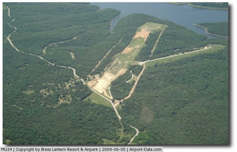
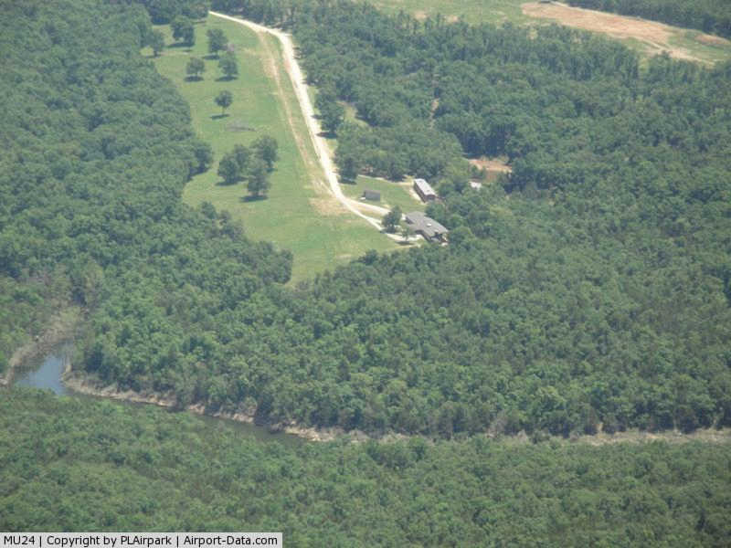
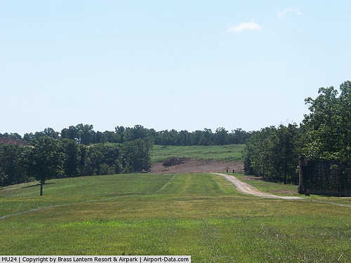
(Click on the photo to enlarge) |
|
 |
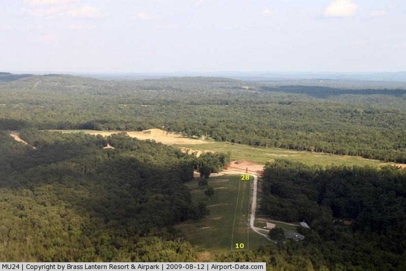
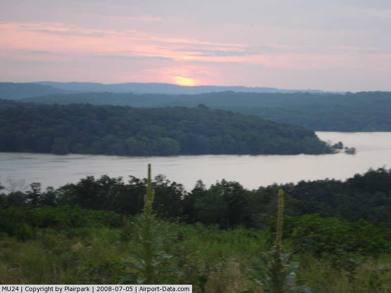
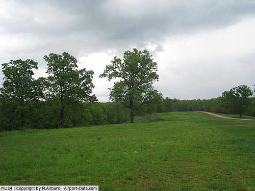
(Click on the photo to enlarge) |
|
 |
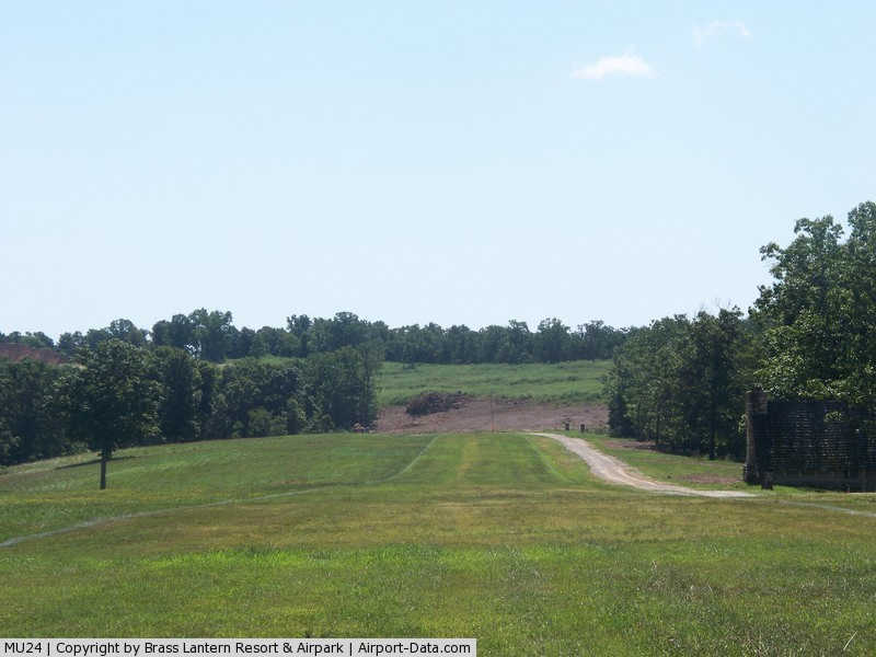
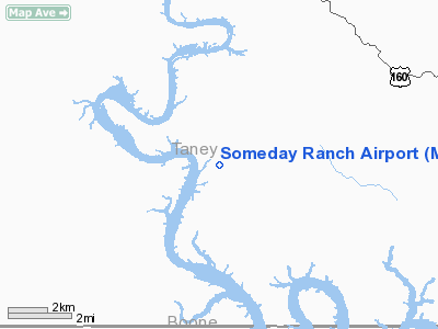
(Click on the photo to enlarge) |
|
 |
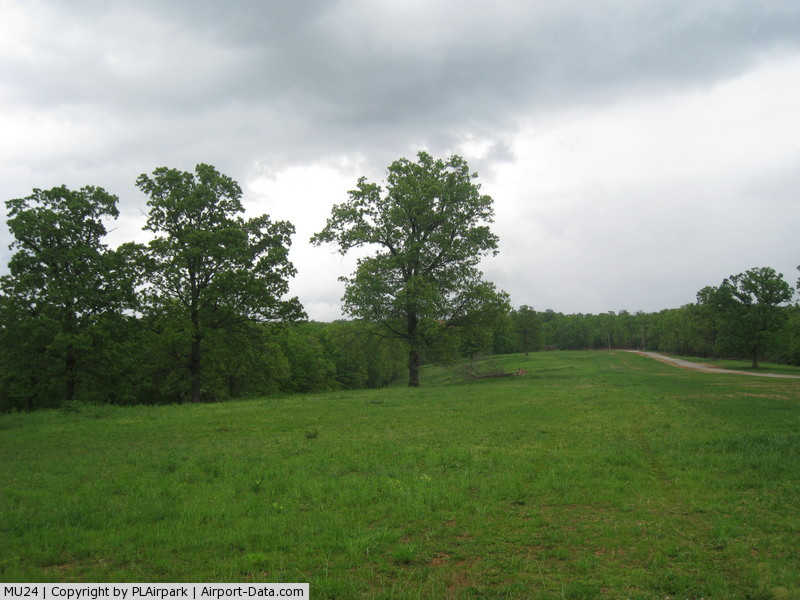
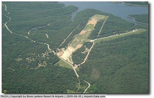
(Click on the photo to enlarge) |
|
 |
(Click on the photo to enlarge) |
|
 |
(Click on the photo to enlarge) |
Location & QuickFacts
| FAA Information Effective: | 2008-09-25 |
| Airport Identifier: | MU24 |
| Airport Status: | Operational |
| Longitude/Latitude: | 093-02-12.6350W/36-34-18.2300N
-93.036843/36.571731 (Estimated) |
| Elevation: | 812 ft / 247.50 m (Estimated) |
| Land: | 330 acres |
| From nearest city: | 3 nautical miles W of Cedarcreek, MO |
| Location: | Taney County, MO |
| Magnetic Variation: | 04E (1985) |
Owner & Manager
| Ownership: | Privately owned |
| Owner: | W. F. Grindley |
| Address: | 1272 Brass Lantern
Cedarcreek, MO 65627 |
| Phone number: | 417-794-3471 |
| Manager: | Perfect Airpark Llc |
| Address: | 1272 Brass Lantern Road
Cedarcreek, MO 65627 |
| Phone number: | 417-576-3817
OR 417-576-3818. |
Airport Operations and Facilities
| Airport Use: | Private |
| Wind indicator: | Yes |
| Segmented Circle: | No |
| Control Tower: | No |
| Landing fee charge: | No |
| Sectional chart: | Kansas City |
| Region: | ACE - Central |
| Boundary ARTCC: | ZME - Memphis |
| Tie-in FSS: | COU - Columbia |
| FSS on Airport: | No |
| FSS Toll Free: | 1-800-WX-BRIEF |
Runway Information
Runway 10/28
| Dimension: | 3000 x 50 ft / 914.4 x 15.2 m |
| Surface: | TURF-GRVL, |
| |
Runway 10 |
Runway 28 |
| Traffic Pattern: | Left | Left |
| Obstruction: | 30 ft trees | 30 ft trees, 0.0 ft from runway |
|
Radio Navigation Aids
| ID |
Type |
Name |
Ch |
Freq |
Var |
Dist |
| PLK | NDB | Point Lookout/dcmsnd | | 204.00 | 03E | 9.9 nm |
| AOV | NDB | Bilmart | | 341.00 | 02E | 29.5 nm |
| ILJ | NDB | Willard | | 254.00 | 03E | 47.9 nm |
| HRO | VOR/DME | Harrison | 072X | 112.50 | 04E | 17.5 nm |
| FLP | VOR/DME | Flippin | 075X | 112.80 | 03E | 32.4 nm |
| DGD | VORTAC | Dogwood | 031X | 109.40 | 06E | 28.2 nm |
| SGF | VORTAC | Springfield | 116X | 116.90 | 04E | 49.3 nm |
Remarks
- PROVIDED APPROACH TO EACH RWY IS MAINTAINED FOR A MINIMUM 20:1 GLIDE SLOPE AND THE TRANSITIONAL SURFACE BE MAINTAINED FOR A 7:1 SLOPE.
Images and information placed above are from
http://www.airport-data.com/airport/MU24/
We thank them for the data!
| General Info
|
| Country |
United States
|
| State |
MISSOURI
|
| FAA ID |
MU24
|
| Latitude |
36-34-18.230N
|
| Longitude |
093-02-12.635W
|
| Elevation |
812 feet
|
| Near City |
CEDARCREEK
|
We don't guarantee the information is fresh and accurate. The data may
be wrong or outdated.
For more up-to-date information please refer to other sources.
|
|