 |
|
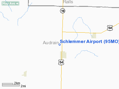
Location & QuickFacts
| FAA Information Effective: | 2008-09-25 |
| Airport Identifier: | 95MO |
| Airport Status: | Operational |
| Longitude/Latitude: | 091-39-00.5770W/39-15-34.1430N
-91.650160/39.259484 (Estimated) |
| Elevation: | 780 ft / 237.74 m (Estimated) |
| Land: | 80 acres |
| From nearest city: | 1 nautical miles N of Laddonia, MO |
| Location: | Audrain County, MO |
| Magnetic Variation: | 03E (1985) |
Owner & Manager
| Ownership: | Privately owned |
| Owner: | Robert Schlemmer |
| Address: | Box 326
Laddonia, MO 63352 |
| Phone number: | 314-373-5303 |
| Manager: | Robert Schlemmer |
| Address: | Box 326
Laddonia, MO 63352 |
| Phone number: | 573-373-5303 |
Airport Operations and Facilities
| Airport Use: | Private |
| Wind indicator: | Yes |
| Segmented Circle: | No |
| Control Tower: | No |
| Lighting Schedule: | PHONE REQ
FOR LIRL RY 10/28 CALL 314-373-5303; AFT HRS CALL 314-373-2180. |
| Landing fee charge: | No |
| Sectional chart: | Kansas City |
| Region: | ACE - Central |
| Boundary ARTCC: | ZKC - Kansas City |
| Tie-in FSS: | COU - Columbia |
| FSS on Airport: | No |
| FSS Toll Free: | 1-800-WX-BRIEF |
Airport Services
Runway Information
Runway 10/28
| Dimension: | 2000 x 60 ft / 609.6 x 18.3 m |
| Surface: | TURF, |
| Edge Lights: | Low |
| |
Runway 10 |
Runway 28 |
| Traffic Pattern: | Left | Left |
|
Radio Navigation Aids
| ID |
Type |
Name |
Ch |
Freq |
Var |
Dist |
| HAE | NDB | Hannibal | | 411.00 | 03E | 29.6 nm |
| FTT | NDB | Guthrie | | 317.00 | 03E | 30.0 nm |
| UI | NDB | Quincy | | 293.00 | 02E | 42.0 nm |
| PPQ | NDB | Pittsfield | | 344.00 | 02E | 46.3 nm |
| ONH | NDB | Noah | | 515.00 | 03E | 46.6 nm |
| JE | NDB | Algoa | | 397.00 | 03E | 47.1 nm |
| COU | VOR/DME | Columbia | 039X | 110.20 | 03E | 37.8 nm |
| MCM | VOR/DME | Macon | 076X | 112.90 | 06E | 45.3 nm |
| HLV | VORTAC | Hallsville | 089X | 114.20 | 06E | 23.9 nm |
| UIN | VORTAC | Quincy | 083X | 113.60 | 05E | 39.3 nm |
| FTZ | VORTAC | Foristell | 045X | 110.80 | 05E | 46.5 nm |
| JEF | VOT | Jefferson City | | 112.00 | | 46.5 nm |
Remarks
- PROVIDED APPROACHES ARE MAINTAINED FOR A 20:1 GLIDE SLOPE AND TRANSITIONAL SURFACES FOR A 7:1 SLOPE.
Images and information placed above are from
http://www.airport-data.com/airport/95MO/
We thank them for the data!
| General Info
|
| Country |
United States
|
| State |
MISSOURI
|
| FAA ID |
95MO
|
| Latitude |
39-15-34.143N
|
| Longitude |
091-39-00.577W
|
| Elevation |
780 feet
|
| Near City |
LADDONIA
|
We don't guarantee the information is fresh and accurate. The data may
be wrong or outdated.
For more up-to-date information please refer to other sources.
|
|


