 |
|
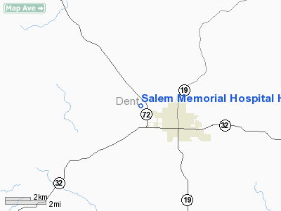
Salem Memorial Hospital Heliport |
Location & QuickFacts
| FAA Information Effective: | 2008-09-25 |
| Airport Identifier: | MO40 |
| Airport Status: | Operational |
| Longitude/Latitude: | 091-34-07.5340W/37-39-07.1560N
-91.568759/37.651988 (Estimated) |
| Elevation: | 1170 ft / 356.62 m (Estimated) |
| Land: | 4 acres |
| From nearest city: | 2 nautical miles NW of Salem, MO |
| Location: | Dent County, MO |
| Magnetic Variation: | 03E (1985) |
Owner & Manager
| Ownership: | Privately owned |
| Owner: | Salem Meml District Hospital |
| Address: | Highway 72 N Box 774
Salem, MO 65560 |
| Phone number: | 573-729-6048 |
| Manager: | Ken Conaway |
| Address: | Hwy 72 N. Box 774
Salem, MO 65560 |
| Phone number: | 314-729-6626 |
Airport Operations and Facilities
| Airport Use: | Private |
| Wind indicator: | Yes |
| Segmented Circle: | No |
| Control Tower: | No |
| Lighting Schedule: | DUSK-DAWN
FOR PERIMETER LGTS CALL (314) 729-6626. |
| Beacon Color: | Clear-Green-Yellow (heliport) |
| Landing fee charge: | No |
| Sectional chart: | Kansas City |
| Region: | ACE - Central |
| Boundary ARTCC: | ZKC - Kansas City |
| Tie-in FSS: | STL - Saint Louis |
| FSS on Airport: | No |
| FSS Toll Free: | 1-800-WX-BRIEF |
| NOTAMs Facility: | COU |
Airport Services
| Airframe Repair: | NONE |
| Power Plant Repair: | NONE |
| Bottled Oxygen: | LOW |
Runway Information
Helipad H1
| Dimension: | 50 x 50 ft / 15.2 x 15.2 m |
| Surface: | ASPH, Good Condition |
| |
Runway H1 |
Runway |
| Traffic Pattern: | Right | Left |
| Markings: | Basic, Good Condition | , |
|
Radio Navigation Aids
| ID |
Type |
Name |
Ch |
Freq |
Var |
Dist |
| BHN | NDB | Buckhorn | | 391.00 | 03E | 25.6 nm |
| UBX | NDB | Cuba | | 380.00 | 01E | 25.7 nm |
| UUV | NDB | Sullivan | | 356.00 | 02E | 40.0 nm |
| MNF | NDB | Mountain View | | 365.00 | 03E | 40.1 nm |
| UNO | NDB | Pomona | | 335.00 | 02E | 49.2 nm |
| TBN | VOR | Forney | | 110.00 | 03E | 27.7 nm |
| VIH | VOR/DME | Vichy | 124X | 117.70 | 06E | 30.9 nm |
| HUW | VOR/DME | Hutton | 053X | 111.60 | 02E | 49.5 nm |
| MAP | VORTAC | Maples | 081X | 113.40 | 06E | 11.1 nm |
Remarks
- FOUR 500 WATT QUARTZ FLOOD LIGHTS.
- MILITARY LANDING RIGHTS.
- CAUTION:HEIGHTS AND DISTANCES OF OBJECTS ARE APPROX MEASUREMENTS.
- PPR. CALL 314-729-6626.
Images and information placed above are from
http://www.airport-data.com/airport/MO40/
We thank them for the data!
| General Info
|
| Country |
United States
|
| State |
MISSOURI
|
| FAA ID |
MO40
|
| Latitude |
37-39-07.156N
|
| Longitude |
091-34-07.534W
|
| Elevation |
1170 feet
|
| Near City |
SALEM
|
We don't guarantee the information is fresh and accurate. The data may
be wrong or outdated.
For more up-to-date information please refer to other sources.
|
|


