 |
|
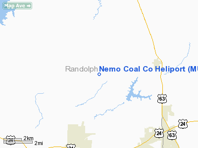
Location & QuickFacts
| FAA Information Effective: | 2008-09-25 |
| Airport Identifier: | MU47 |
| Airport Status: | Operational |
| Longitude/Latitude: | 092-30-58.6620W/39-30-01.1190N
-92.516295/39.500311 (Estimated) |
| Elevation: | 820 ft / 249.94 m (Estimated) |
| Land: | 0 acres |
| From nearest city: | 4 nautical miles W of Cairo, MO |
| Location: | Randolph County, MO |
| Magnetic Variation: | 03E (1985) |
Owner & Manager
| Ownership: | Privately owned |
| Owner: | Nemo Coal Co |
| Address: | Po Box 633
Moberly, MO 65270 |
| Phone number: | 816-263-8800 |
| Manager: | Michael O. Bowlby |
| Address: | 1237 Conestoga Trail
Moberly, MO 65270 |
| Phone number: | 816-263-1404 |
Airport Operations and Facilities
| Airport Use: | Private |
| Wind indicator: | Yes |
| Segmented Circle: | No |
| Control Tower: | No |
| Landing fee charge: | No |
| Sectional chart: | Kansas City |
| Region: | ACE - Central |
| Boundary ARTCC: | ZKC - Kansas City |
| Tie-in FSS: | COU - Columbia |
| FSS on Airport: | No |
| FSS Toll Free: | 1-800-WX-BRIEF |
Airport Communications
Runway Information
Helipad H1
| Dimension: | 50 x 50 ft / 15.2 x 15.2 m |
| Surface: | CONC, |
| |
Runway H1 |
Runway |
| Traffic Pattern: | Left | Left |
|
Radio Navigation Aids
| ID |
Type |
Name |
Ch |
Freq |
Var |
Dist |
| BZK | NDB | Brookfield | | 383.00 | 03E | 31.7 nm |
| VER | NDB | Viertel | | 347.00 | 02E | 34.0 nm |
| PUR | NDB | Marshall | | 371.00 | 03E | 41.9 nm |
| FTT | NDB | Guthrie | | 317.00 | 03E | 46.2 nm |
| CHT | NDB | Chillicothe | | 375.00 | 03E | 48.2 nm |
| MCM | VOR/DME | Macon | 076X | 112.90 | 06E | 9.4 nm |
| COU | VOR/DME | Columbia | 039X | 110.20 | 03E | 43.7 nm |
| HLV | VORTAC | Hallsville | 089X | 114.20 | 06E | 29.4 nm |
| IRK | VORTAC | Kirksville | 093X | 114.60 | 06E | 38.3 nm |
Remarks
- PROVIDED APCHS/DEP PATHS ARE MAINTAINED FOR A MINIMUM 8:1 GLIDE SLOPE & 2:1 TRANSITIONAL SFCS SLOPE.
Images and information placed above are from
http://www.airport-data.com/airport/MU47/
We thank them for the data!
| General Info
|
| Country |
United States
|
| State |
MISSOURI
|
| FAA ID |
MU47
|
| Latitude |
39-30-01.119N
|
| Longitude |
092-30-58.662W
|
| Elevation |
820 feet
|
| Near City |
CAIRO
|
We don't guarantee the information is fresh and accurate. The data may
be wrong or outdated.
For more up-to-date information please refer to other sources.
|
|


