|
|
Midwest National Air Center Airport |
|
 |
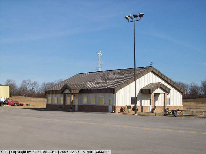
(Click on the photo to enlarge) |
|
 |
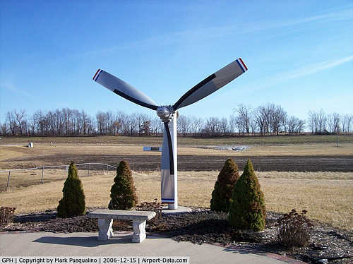
(Click on the photo to enlarge) |
|
 |
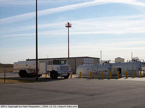
(Click on the photo to enlarge) |
Location & QuickFacts
| FAA Information Effective: | 2008-09-25 |
| Airport Identifier: | GPH |
| Airport Status: | Operational |
| Longitude/Latitude: | 094-18-34.7000W/39-19-57.0000N
-94.309639/39.332500 (Estimated) |
| Elevation: | 777 ft / 236.83 m (Surveyed) |
| Land: | 573 acres |
| From nearest city: | 1 nautical miles N of Mosby, MO |
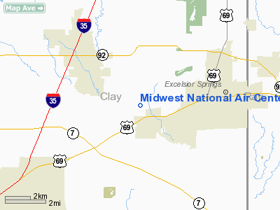
| Location: | Clay County, MO |
| Magnetic Variation: | 03E (2000) |
Owner & Manager
| Ownership: | Publicly owned |
| Owner: | Clay County Commission |
| Address: | 16616 Ne 116 St
Kearney, MO 64060 |
| Phone number: | 816-407-3570 |
| Manager: | Colin Mckee |
| Address: | 13106 Rhodus Rd
Excelsior Springs, MO 64024 |
| Phone number: | 816-407-3390
ALTERNATE PHONE NUMBER (816)-365-3417. |
Airport Operations and Facilities
| Airport Use: | Open to public |
| Wind indicator: | Yes |
| Segmented Circle: | Yes |
| Control Tower: | No |
| Lighting Schedule: | DUSK-DAWN
ACTVT HIRL RY 18/36; PAPI RYS 18 & 36; REIL RYS 18 & 36 - CTAF |
| Beacon Color: | Clear-Green (lighted land airport) |
| Sectional chart: | Kansas City |
| Region: | ACE - Central |
| Boundary ARTCC: | ZKC - Kansas City |
| Tie-in FSS: | COU - Columbia |
| FSS on Airport: | No |
| FSS Toll Free: | 1-800-WX-BRIEF |
| NOTAMs Facility: | COU (NOTAM-d service avaliable) |
| Federal Agreements: | NGY |
Airport Communications
| CTAF: | 122.700 |
| Unicom: | 122.700 |
Airport Services
| Fuel available: | 100LLA MOGAS
SELF-SERVICE FUEL AFTER 1730. |
| Airframe Repair: | MINOR |
| Power Plant Repair: | MINOR |
Runway Information
Runway 18/36
| Dimension: | 5504 x 100 ft / 1677.6 x 30.5 m |
| Surface: | ASPH, Good Condition |
| Weight Limit: | Single wheel: 30000 lbs.
Dual wheel: 60000 lbs. |
| Edge Lights: | High |
| |
Runway 18 |
Runway 36 |
| Longitude: | 094-18-30.3898W | 094-18-39.0724W |
| Latitude: | 39-20-24.0059N | 39-19-30.0469N |
| Elevation: | 777.00 ft | 775.00 ft |
| Alignment: | 127 | 7 |
| ILS Type: | ILS/DME | |
| Traffic Pattern: | Left | Right |
| Markings: | Precision instrument, Good Condition | Non-precision instrument, Good Condition |
| Crossing Height: | 59.00 ft | 45.00 ft |
| VASI: | 4-light PAPI on left side | 4-light PAPI on left side |
| Visual Glide Angle: | 3.50° | 3.00° |
| Runway End Identifier: | Yes | Yes |
| Obstruction: | 111 ft tree, 3605.0 ft from runway, 506 ft right of centerline, 30:1 slope to clear | 84 ft trees, 1887.0 ft from runway, 215 ft left of centerline, 20:1 slope to clear |
|
Radio Navigation Aids
| ID |
Type |
Name |
Ch |
Freq |
Var |
Dist |
| GPH | NDB | Mosby | | 284.00 | 03E | 0.8 nm |
| DO | NDB | Dotte | | 359.00 | 05E | 21.6 nm |
| LXT | NDB | Lesumit | | 263.00 | 04E | 22.5 nm |
| GKB | NDB | Norge | | 517.00 | 05E | 22.9 nm |
| GQ | NDB | Norge | | 517.00 | 05E | 22.9 nm |
| EZZ | NDB | Cameron | | 394.00 | 03E | 23.9 nm |
| AZN | NDB | Amazon | | 233.00 | 06E | 43.2 nm |
| CHT | NDB | Chillicothe | | 375.00 | 03E | 46.3 nm |
| RIS | VOR/DME | Riverside | 051X | 111.40 | 05E | 18.5 nm |
| BQS | VOR/DME | Braymer | 049X | 111.20 | 03E | 27.0 nm |
| OJC | VOR/DME | Johnson County | 077X | 113.00 | 06E | 35.7 nm |
| ANX | VORTAC | Napoleon | 087X | 114.00 | 07E | 16.6 nm |
| MCI | VORTAC | Kansas City | 079Y | 113.25 | 05E | 20.1 nm |
| STJ | VORTAC | St Joseph | 102X | 115.50 | 08E | 47.3 nm |
| MKC | VOT | Kansas City Downtown | | 108.60 | | 18.4 nm |
Remarks
- FLOCKS OF DUCKS; GEESE & OTHER WILDLIFE ON AND INVOF ARPT.
- BE ALERT IN TFC PATTERN DUE TO PVT USE ARPT WITHIN 2 NM.
- PRVDD CLEAR APCH TO EACH RY FOR A 20:1 GLIDE SLOPE; CLEAR TRANSITIONAL SFC FOR A 7:1 SLOPE; USE STD L TFC RY 18; R TFC RY 36 & USE SAME UNICOM FREQ AS OTR ARPTS IN AREA.
Images and information placed above are from
http://www.airport-data.com/airport/GPH/
We thank them for the data!
| General Info
|
| Country |
United States
|
| State |
MISSOURI
|
| FAA ID |
GPH
|
| Latitude |
39-19-49.675N
|
| Longitude |
094-18-35.905W
|
| Elevation |
774 feet
|
| Near City |
MOSBY
|
We don't guarantee the information is fresh and accurate. The data may
be wrong or outdated.
For more up-to-date information please refer to other sources.
|
|