 |
|
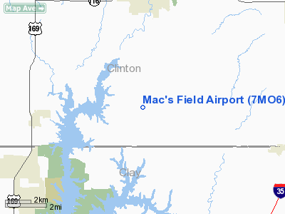
Location & QuickFacts
| FAA Information Effective: | 2008-09-25 |
| Airport Identifier: | 7MO6 |
| Airport Status: | Operational |
| Longitude/Latitude: | 094-28-00.8210W/39-28-59.9970N
-94.466895/39.483333 (Estimated) |
| Elevation: | 1015 ft / 309.37 m (Estimated) |
| Land: | 0 acres |
| From nearest city: | 4 nautical miles S of Plattsburg, MO |
| Location: | Clinton County, MO |
| Magnetic Variation: | 05E (1985) |
Owner & Manager
| Ownership: | Privately owned |
| Owner: | James W Mccomas |
| Address: | Rte 2 Box 187
Plattsburg, MO 64477 |
| Phone number: | 816-539-2982 |
| Address: |
|
Airport Operations and Facilities
| Airport Use: | Private |
| Wind indicator: | Yes |
| Segmented Circle: | No |
| Control Tower: | No |
| Landing fee charge: | No |
| Sectional chart: | Kansas City |
| Region: | ACE - Central |
| Boundary ARTCC: | ZKC - Kansas City |
| Tie-in FSS: | COU - Columbia |
| FSS on Airport: | No |
| FSS Toll Free: | 1-800-WX-BRIEF |
Airport Services
| Airframe Repair: | NONE |
| Power Plant Repair: | NONE |
Runway Information
Runway 18/36
| Dimension: | 3500 x 100 ft / 1066.8 x 30.5 m |
| Surface: | TURF, |
| |
Runway 18 |
Runway 36 |
| Traffic Pattern: | Left | Left |
|
Radio Navigation Aids
| ID |
Type |
Name |
Ch |
Freq |
Var |
Dist |
| GPH | NDB | Mosby | | 284.00 | 03E | 11.1 nm |
| EZZ | NDB | Cameron | | 394.00 | 03E | 17.3 nm |
| DO | NDB | Dotte | | 359.00 | 05E | 20.5 nm |
| GKB | NDB | Norge | | 517.00 | 05E | 26.9 nm |
| GQ | NDB | Norge | | 517.00 | 05E | 26.9 nm |
| AZN | NDB | Amazon | | 233.00 | 06E | 31.6 nm |
| LXT | NDB | Lesumit | | 263.00 | 04E | 31.7 nm |
| CHT | NDB | Chillicothe | | 375.00 | 03E | 48.4 nm |
| RIS | VOR/DME | Riverside | 051X | 111.40 | 05E | 22.6 nm |
| BQS | VOR/DME | Braymer | 049X | 111.20 | 03E | 28.8 nm |
| OJC | VOR/DME | Johnson County | 077X | 113.00 | 06E | 40.6 nm |
| RBA | VOR/DME | Robinson | 019X | 108.20 | 04E | 49.4 nm |
| MCI | VORTAC | Kansas City | 079Y | 113.25 | 05E | 17.3 nm |
| ANX | VORTAC | Napoleon | 087X | 114.00 | 07E | 28.1 nm |
| STJ | VORTAC | St Joseph | 102X | 115.50 | 08E | 35.7 nm |
| MKC | VOT | Kansas City Downtown | | 108.60 | | 22.5 nm |
Images and information placed above are from
http://www.airport-data.com/airport/7MO6/
We thank them for the data!
| General Info
|
| Country |
United States
|
| State |
MISSOURI
|
| FAA ID |
7MO6
|
| Latitude |
39-28-59.997N
|
| Longitude |
094-28-00.821W
|
| Elevation |
1015 feet
|
| Near City |
PLATTSBURG
|
We don't guarantee the information is fresh and accurate. The data may
be wrong or outdated.
For more up-to-date information please refer to other sources.
|
|


