 |
|
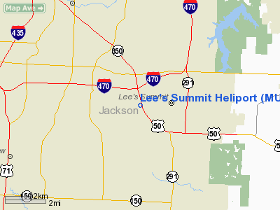
Location & QuickFacts
| FAA Information Effective: | 2008-09-25 |
| Airport Identifier: | MU08 |
| Airport Status: | Operational |
| Longitude/Latitude: | 094-24-13.8230W/38-55-20.0260N
-94.403840/38.922229 (Estimated) |
| Elevation: | 1000 ft / 304.80 m (Estimated) |
| Land: | 0 acres |
| From nearest city: | 0 nautical miles NW of Lee's Summit, MO |
| Location: | Jackson County, MO |
| Magnetic Variation: | 05E (1985) |
Owner & Manager
| Ownership: | Privately owned |
| Owner: | Lee's Summit Hospital |
| Address: | 530 North Murray Road
Lee's Summit, MO 64063 |
| Phone number: | 816-525-2950 |
| Manager: | Jon Spears |
| Address: | 530 North Murray Road
Lee's Summit, MO 64063 |
| Phone number: | 816-525-2950 |
Airport Operations and Facilities
| Airport Use: | Private
MEDICAL. |
| Wind indicator: | Yes |
| Segmented Circle: | No |
| Control Tower: | No |
| Landing fee charge: | No |
| Sectional chart: | Kansas City |
| Region: | ACE - Central |
| Boundary ARTCC: | ZKC - Kansas City |
| Tie-in FSS: | COU - Columbia |
| FSS on Airport: | No |
| FSS Toll Free: | 1-800-WX-BRIEF |
Runway Information
Helipad H1
| Dimension: | 35 x 35 ft / 10.7 x 10.7 m |
| Surface: | ASPH, |
| |
Runway H1 |
Runway |
| Traffic Pattern: | Left | Left |
| Obstruction: | 100 ft ant, 300.0 ft from runway | |
|
Radio Navigation Aids
| ID |
Type |
Name |
Ch |
Freq |
Var |
Dist |
| LXT | NDB | Lesumit | | 263.00 | 04E | 2.8 nm |
| GKB | NDB | Norge | | 517.00 | 05E | 14.4 nm |
| GQ | NDB | Norge | | 517.00 | 05E | 14.4 nm |
| DO | NDB | Dotte | | 359.00 | 05E | 24.1 nm |
| GPH | NDB | Mosby | | 284.00 | 03E | 25.9 nm |
| HCK | NDB | Hawks | | 296.00 | 04E | 42.8 nm |
| GLY | NDB | Golden Valley | | 388.00 | 04E | 47.8 nm |
| EZZ | NDB | Cameron | | 394.00 | 03E | 48.9 nm |
| SZL | TACAN | Whiteman | 035X | | 04E | 41.5 nm |
| RIS | VOR/DME | Riverside | 051X | 111.40 | 05E | 14.9 nm |
| OJC | VOR/DME | Johnson County | 077X | 113.00 | 06E | 16.3 nm |
| BQS | VOR/DME | Braymer | 049X | 111.20 | 03E | 49.2 nm |
| ANX | VORTAC | Napoleon | 087X | 114.00 | 07E | 16.5 nm |
| MCI | VORTAC | Kansas City | 079Y | 113.25 | 05E | 26.8 nm |
| BUM | VORTAC | Butler | 106X | 115.90 | 07E | 39.3 nm |
| MKC | VOT | Kansas City Downtown | | 108.60 | | 15.1 nm |
Remarks
- OWNER DOES NOT WANT ARPT CHARTED.
- PRVDD THAT APCH/DEPT PATHS TO THE LANDING AREA ARE MAINTAINED MIN 8:1 GLIDE SLOPE/TRANSITIONAL SURFACE BE MAINTAINED 2:1 SLOPE.
Images and information placed above are from
http://www.airport-data.com/airport/MU08/
We thank them for the data!
| General Info
|
| Country |
United States
|
| State |
MISSOURI
|
| FAA ID |
MU08
|
| Latitude |
38-55-20.026N
|
| Longitude |
094-24-13.823W
|
| Elevation |
1000 feet
|
| Near City |
LEE'S SUMMIT
|
We don't guarantee the information is fresh and accurate. The data may
be wrong or outdated.
For more up-to-date information please refer to other sources.
|
|


