 |
|
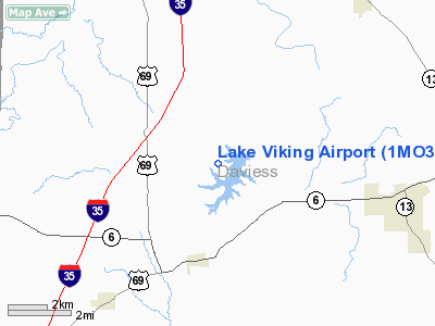
Location & QuickFacts
| FAA Information Effective: | 2008-09-25 |
| Airport Identifier: | 1MO3 |
| Airport Status: | Operational |
| Longitude/Latitude: | 094-04-25.8100W/39-56-00.0150N
-94.073836/39.933338 (Estimated) |
| Elevation: | 940 ft / 286.51 m (Estimated) |
| Land: | 0 acres |
| From nearest city: | 5 nautical miles NW of Gallatin, MO |
| Location: | Daviess County, MO |
| Magnetic Variation: | 04E (1985) |
Owner & Manager
| Ownership: | Privately owned |
| Owner: | Viking Valley Assoc |
| Address: | Rr 3
Gallatin, MO 64640 |
| Phone number: | 816-663-2131 |
| Manager: | Robert F. Feigly |
| Address: | Rr 3
Gallatin, MO 64640 |
| Phone number: | 816-663-2131 |
Airport Operations and Facilities
| Airport Use: | Private |
| Wind indicator: | Yes |
| Segmented Circle: | No |
| Control Tower: | No |
| Landing fee charge: | No |
| Sectional chart: | Kansas City |
| Region: | ACE - Central |
| Boundary ARTCC: | ZKC - Kansas City |
| Tie-in FSS: | COU - Columbia |
| FSS on Airport: | No |
| FSS Toll Free: | 1-800-WX-BRIEF |
Airport Services
| Airframe Repair: | NONE |
| Power Plant Repair: | NONE |
Runway Information
Runway NW/SE
| Dimension: | 3200 x 50 ft / 975.4 x 15.2 m |
| Surface: | ASPH, |
| |
Runway NW |
Runway SE |
| Traffic Pattern: | Left | Left |
|
Radio Navigation Aids
| ID |
Type |
Name |
Ch |
Freq |
Var |
Dist |
| EZZ | NDB | Cameron | | 394.00 | 03E | 15.3 nm |
| TRX | NDB | Trenton | | 400.00 | 03E | 23.8 nm |
| CHT | NDB | Chillicothe | | 375.00 | 03E | 28.3 nm |
| GPH | NDB | Mosby | | 284.00 | 03E | 36.9 nm |
| AZN | NDB | Amazon | | 233.00 | 06E | 38.6 nm |
| BZK | NDB | Brookfield | | 383.00 | 03E | 45.7 nm |
| EVU | NDB | Emville | | 317.00 | 05E | 46.0 nm |
| BQS | VOR/DME | Braymer | 049X | 111.20 | 03E | 20.4 nm |
| STJ | VORTAC | St Joseph | 102X | 115.50 | 08E | 39.3 nm |
| LMN | VORTAC | Lamoni | 114X | 116.70 | 07E | 40.2 nm |
| MCI | VORTAC | Kansas City | 079Y | 113.25 | 05E | 49.6 nm |
Images and information placed above are from
http://www.airport-data.com/airport/1MO3/
We thank them for the data!
| General Info
|
| Country |
United States
|
| State |
MISSOURI
|
| FAA ID |
1MO3
|
| Latitude |
39-56-00.015N
|
| Longitude |
094-04-25.810W
|
| Elevation |
940 feet
|
| Near City |
GALLATIN
|
We don't guarantee the information is fresh and accurate. The data may
be wrong or outdated.
For more up-to-date information please refer to other sources.
|
|


