 |
|
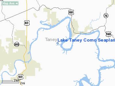
Lake Taney Como Seaplane Base |
Location & QuickFacts
| FAA Information Effective: | 2008-09-25 |
| Airport Identifier: | 1MU1 |
| Airport Status: | Operational |
| Longitude/Latitude: | 093-09-15.6460W/36-40-00.2210N
-93.154346/36.666728 (Estimated) |
| Elevation: | 716 ft / 218.24 m (Estimated) |
| Land: | 0 acres |
| From nearest city: | 0 nautical miles SE of Rockaway Beach, MO |
| Location: | Taney County, MO |
| Magnetic Variation: | 03E (1995) |
Owner & Manager
| Ownership: | Privately owned |
| Owner: | Dept Army Corp Of Engineers
LEASEE. |
| Address: | 700 West Capitol
Little Rock, AK 72203 |
| Phone number: | 417-561-4733 |
| Manager: | B N Hank Haddock |
| Address: | 3757 State Hwy 176
Rockaway Beach, MO 65740 |
| Phone number: | 417-501-4733 |
Airport Operations and Facilities
| Airport Use: | Private |
| Wind indicator: | Yes |
| Segmented Circle: | No |
| Control Tower: | No |
| Landing fee charge: | No |
| Sectional chart: | Kansas City |
| Region: | ACE - Central |
| Boundary ARTCC: | ZME - Memphis |
| Tie-in FSS: | COU - Columbia |
| FSS on Airport: | No |
| FSS Toll Free: | 1-800-WX-BRIEF |
Runway Information
Runway 06/24
| Dimension: | 1480 x 200 ft / 451.1 x 61.0 m |
| Surface: | WATER, |
| |
Runway 06 |
Runway 24 |
| Traffic Pattern: | Left | Left |
| Obstruction: | | 45 ft plines, 1000.0 ft from runway |
|
Radio Navigation Aids
| ID |
Type |
Name |
Ch |
Freq |
Var |
Dist |
| PLK | NDB | Point Lookout/dcmsnd | | 204.00 | 03E | 4.3 nm |
| AOV | NDB | Bilmart | | 341.00 | 02E | 29.3 nm |
| ILJ | NDB | Willard | | 254.00 | 03E | 40.4 nm |
| HRO | VOR/DME | Harrison | 072X | 112.50 | 04E | 21.1 nm |
| FLP | VOR/DME | Flippin | 075X | 112.80 | 03E | 40.2 nm |
| DGD | VORTAC | Dogwood | 031X | 109.40 | 06E | 25.3 nm |
| SGF | VORTAC | Springfield | 116X | 116.90 | 04E | 42.3 nm |
Remarks
- PRVDD APCH TO EACH SEALANE MAINTAINED FOR A 20:1 GLIDE SLOPE.
Images and information placed above are from
http://www.airport-data.com/airport/1MU1/
We thank them for the data!
| General Info
|
| Country |
United States
|
| State |
MISSOURI
|
| FAA ID |
1MU1
|
| Latitude |
36-40-00.221N
|
| Longitude |
093-09-15.646W
|
| Elevation |
716 feet
|
| Near City |
ROCKAWAY BEACH
|
We don't guarantee the information is fresh and accurate. The data may
be wrong or outdated.
For more up-to-date information please refer to other sources.
|
|


