|
|
|
 |
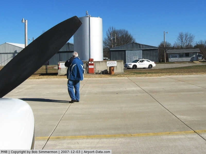
(Click on the photo to enlarge) |
|
 |
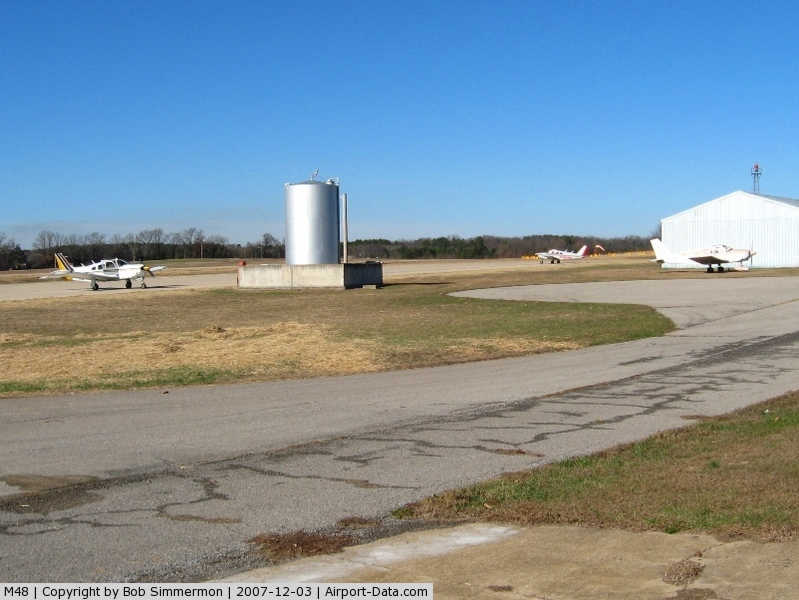
(Click on the photo to enlarge) |
|
 |
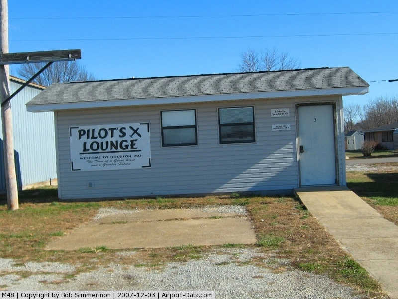
(Click on the photo to enlarge) |
|
 |
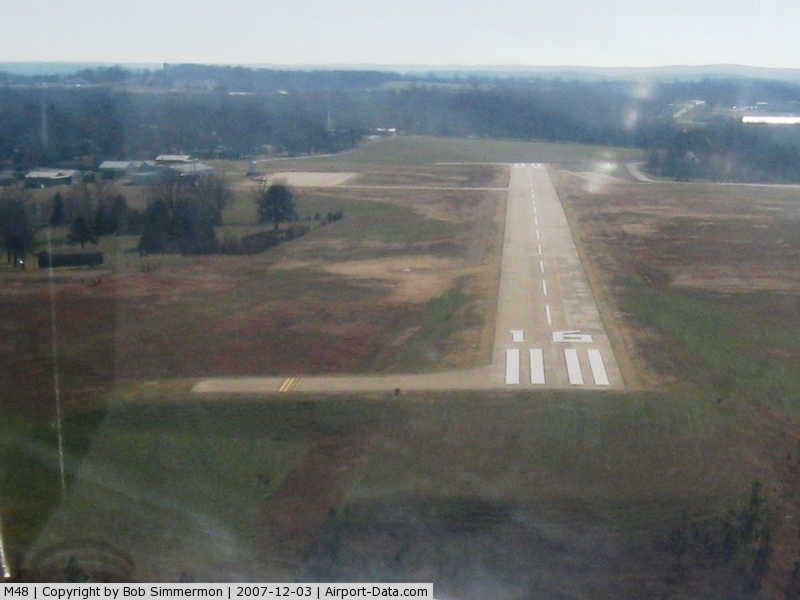
(Click on the photo to enlarge) |
|
 |
(Click on the photo to enlarge) |
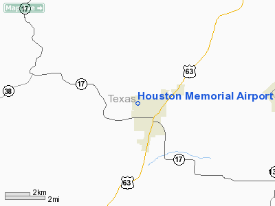
Location & QuickFacts
| FAA Information Effective: | 2008-09-25 |
| Airport Identifier: | M48 |
| Airport Status: | Operational |
| Longitude/Latitude: | 091-58-23.4000W/37-19-48.7000N
-91.973167/37.330194 (Estimated) |
| Elevation: | 1196 ft / 364.54 m (Surveyed) |
| Land: | 140 acres |
| From nearest city: | 1 nautical miles NW of Houston, MO |
| Location: | Texas County, MO |
| Magnetic Variation: | 03E (1985) |
Owner & Manager
| Ownership: | Publicly owned |
| Owner: | City Of Houston |
| Address: | 601 South Grand
Houston, MO 65483 |
| Phone number: | 417-967-3348 |
| Manager: | Larry Sutton
CITY ADMINISTRATOR. |
| Address: | 601 South Grand
Houston, MO 65483 |
| Phone number: | 417-967-3348 |
Airport Operations and Facilities
| Airport Use: | Open to public |
| Wind indicator: | Yes |
| Segmented Circle: | Yes |
| Control Tower: | No |
| Lighting Schedule: | DUSK-DAWN
MIRL RY 16/34 PRESET ON LOW INTST TO INCR INTST & ACTVT REIL RYS 16 & 34 - CTAF. |
| Beacon Color: | Clear (unlighted land airport)
NSTD ROTG BCN; LENS CLEAR. |
| Landing fee charge: | No |
| Sectional chart: | Kansas City |
| Region: | ACE - Central |
| Boundary ARTCC: | ZKC - Kansas City |
| Tie-in FSS: | COU - Columbia |
| FSS on Airport: | No |
| FSS Toll Free: | 1-800-WX-BRIEF |
| NOTAMs Facility: | COU (NOTAM-d service avaliable) |
| Federal Agreements: | NGY |
Airport Communications
Airport Services
| Fuel available: | 100LL
FOR FUEL MON-FRI CALL 417-967-3348; SAT-SUN & EVENINGS CALL 417-967-4165. |
| Airframe Repair: | MINOR |
| Power Plant Repair: | MINOR |
| Bottled Oxygen: | NONE |
| Bulk Oxygen: | NONE |
Runway Information
Runway 16/34
| Dimension: | 3500 x 60 ft / 1066.8 x 18.3 m |
| Surface: | CONC, Good Condition |
| Weight Limit: | Single wheel: 12500 lbs. |
| Edge Lights: | Medium |
| |
Runway 16 |
Runway 34 |
| Longitude: | 091-58-26.5300W | 091-58-20.2600W |
| Latitude: | 37-20-05.8700N | 37-19-31.6200N |
| Traffic Pattern: | Left | Left |
| Markings: | Nonstandard, Poor Condition
RY 16 MARKINGS FADED. | Nonstandard, Poor Condition
RY 34 MARKINGS FADED. |
| Crossing Height: | 43.00 ft | 39.00 ft |
| VASI: | 2-light PAPI on left side | 2-light PAPI on left side |
| Visual Glide Angle: | 4.00° | 4.00° |
| Runway End Identifier: | Yes | Yes |
| Obstruction: | 50 ft trees, 1200.0 ft from runway, 20:1 slope to clear | 37 ft trees, 1250.0 ft from runway, 195 ft left of centerline, 28:1 slope to clear |
|
Radio Navigation Aids
| ID |
Type |
Name |
Ch |
Freq |
Var |
Dist |
| BHN | NDB | Buckhorn | | 391.00 | 03E | 22.9 nm |
| MNF | NDB | Mountain View | | 365.00 | 03E | 23.8 nm |
| UNO | NDB | Pomona | | 335.00 | 02E | 27.4 nm |
| IEB | NDB | Lebanon | | 414.00 | 03E | 35.8 nm |
| AOV | NDB | Bilmart | | 341.00 | 02E | 40.1 nm |
| TBN | VOR | Forney | | 110.00 | 03E | 26.0 nm |
| HUW | VOR/DME | Hutton | 053X | 111.60 | 02E | 27.8 nm |
| MAP | VORTAC | Maples | 081X | 113.40 | 06E | 18.0 nm |
| DGD | VORTAC | Dogwood | 031X | 109.40 | 06E | 47.0 nm |
Remarks
- PUBLIC BUS SVC AVBL MON-FRI 0730-1600.
- CROP DUSTING ACFT & ULTRALIGHT ACTIVITY ON & INVOF ARPT.
- EST. PRIOR TO 1959
Images and information placed above are from
http://www.airport-data.com/airport/M48/
We thank them for the data!
| General Info
|
| Country |
United States
|
| State |
MISSOURI
|
| FAA ID |
M48
|
| Latitude |
37-19-48.330N
|
| Longitude |
091-58-23.410W
|
| Elevation |
1196 feet
|
| Near City |
HOUSTON
|
We don't guarantee the information is fresh and accurate. The data may
be wrong or outdated.
For more up-to-date information please refer to other sources.
|
|