 |
|
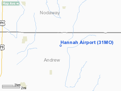
Location & QuickFacts
| FAA Information Effective: | 2008-09-25 |
| Airport Identifier: | 31MO |
| Airport Status: | Operational |
| Longitude/Latitude: | 094-44-35.8780W/40-06-19.9720N
-94.743299/40.105548 (Estimated) |
| Elevation: | 937 ft / 285.60 m (Surveyed) |
| Land: | 0 acres |
| From nearest city: | 4 nautical miles E of Bolckow, MO |
| Location: | Andrew County, MO |
| Magnetic Variation: | 05E (1985) |
Owner & Manager
| Ownership: | Privately owned |
| Owner: | John D. Hannah, Jr. |
| Address: | Rt 1, Box 102
Bolckow, MO 64427 |
| Phone number: | 816-428-3725 |
| Manager: | John D. Hannah, Jr. |
| Address: | Rt 1, Box 102
Bolckow, MO 64427 |
| Phone number: | 816-428-3725 |
Airport Operations and Facilities
| Airport Use: | Private |
| Wind indicator: | Yes |
| Segmented Circle: | No |
| Control Tower: | No |
| Landing fee charge: | No |
| Sectional chart: | Omaha |
| Region: | ACE - Central |
| Boundary ARTCC: | ZKC - Kansas City |
| Tie-in FSS: | COU - Columbia |
| FSS on Airport: | No |
| FSS Toll Free: | 1-800-WX-BRIEF |
Airport Services
Runway Information
Runway E/W
| Dimension: | 2200 x 50 ft / 670.6 x 15.2 m |
| Surface: | TURF, |
| |
Runway E |
Runway W |
| Traffic Pattern: | Left | Left |
|
Runway N/S
| Dimension: | 1300 x 50 ft / 396.2 x 15.2 m |
| Surface: | TURF, |
| |
Runway N |
Runway S |
| Traffic Pattern: | Left | Left |
|
Radio Navigation Aids
| ID |
Type |
Name |
Ch |
Freq |
Var |
Dist |
| AZN | NDB | Amazon | | 233.00 | 06E | 15.3 nm |
| EVU | NDB | Emville | | 317.00 | 05E | 16.6 nm |
| EZZ | NDB | Cameron | | 394.00 | 03E | 31.4 nm |
| FNB | NDB | Brenner | | 404.00 | 05E | 38.8 nm |
| ICL | NDB | Clarinda | | 353.00 | 04E | 39.5 nm |
| SDA | NDB | Shenandoah | | 411.00 | 05E | 49.3 nm |
| GPH | NDB | Mosby | | 284.00 | 03E | 49.9 nm |
| RBA | VOR/DME | Robinson | 019X | 108.20 | 04E | 34.9 nm |
| BQS | VOR/DME | Braymer | 049X | 111.20 | 03E | 49.2 nm |
| STJ | VORTAC | St Joseph | 102X | 115.50 | 08E | 12.1 nm |
| LMN | VORTAC | Lamoni | 114X | 116.70 | 07E | 46.2 nm |
| MCI | VORTAC | Kansas City | 079Y | 113.25 | 05E | 49.3 nm |
Remarks
- PROVIDED THAT THE APCH TO EACH RWY IS MAINTAINED FOR A MINIMUM 20:1 GLIDE SLOPE AND THAT THE ARPT TRANSITIONAL SURFACE BE MAINTAINED FOR A 7:1 SLOPE.
Images and information placed above are from
http://www.airport-data.com/airport/31MO/
We thank them for the data!
| General Info
|
| Country |
United States
|
| State |
MISSOURI
|
| FAA ID |
31MO
|
| Latitude |
40-06-19.972N
|
| Longitude |
094-44-35.878W
|
| Elevation |
937 feet
|
| Near City |
BOLCKOW
|
We don't guarantee the information is fresh and accurate. The data may
be wrong or outdated.
For more up-to-date information please refer to other sources.
|
|


