|
|
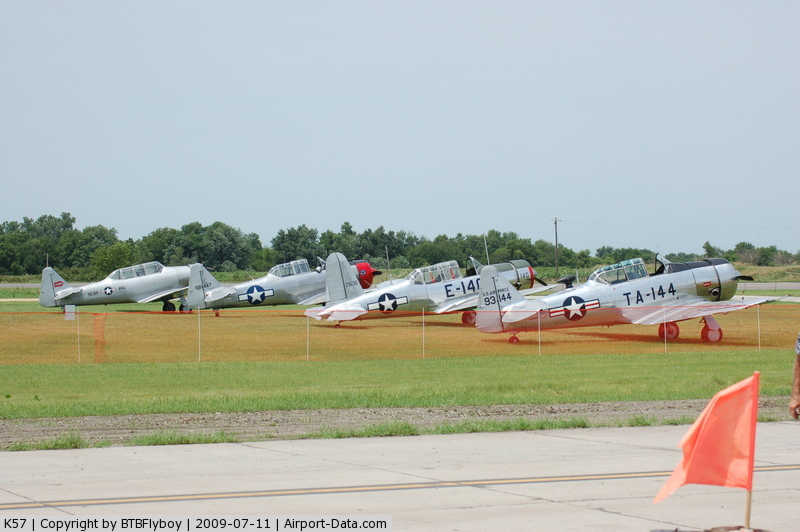
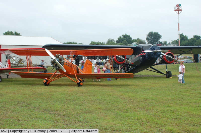
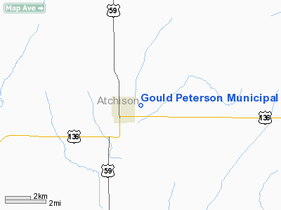
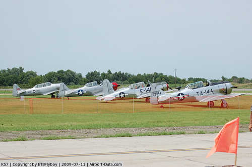
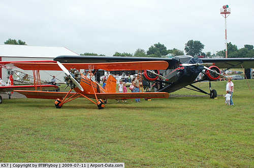
Gould Peterson Municipal Airport |
|
 |
(Click on the photo to enlarge) |
|
 |
(Click on the photo to enlarge) |
Location & QuickFacts
| FAA Information Effective: | 2008-09-25 |
| Airport Identifier: | K57 |
| Airport Status: | Operational |
| Longitude/Latitude: | 095-22-02.3000W/40-26-45.4000N
-95.367306/40.445944 (Estimated) |
| Elevation: | 913 ft / 278.28 m (Surveyed) |
| Land: | 93 acres |
| From nearest city: | 1 nautical miles E of Tarkio, MO |
| Location: | Atchison County, MO |
| Magnetic Variation: | 05E (1985) |
Owner & Manager
| Ownership: | Publicly owned |
| Owner: | City Of Tarkio |
| Address: | City Hall - 602 Main St
Tarkio, MO 64491 |
| Phone number: | 660-736-4821 |
| Manager: | Garold Kurtz |
| Address: | 19206 Hwy O
Tarkio, MO 64491 |
| Phone number: | 660-736-4322 |
Airport Operations and Facilities
| Airport Use: | Open to public |
| Wind indicator: | Yes |
| Segmented Circle: | No |
| Control Tower: | No |
| Lighting Schedule: | DUSK-DAWN
TO INCR INTST & ACTVT MIRL RY 18/36 - CTAF. |
| Beacon Color: | Clear-Green (lighted land airport) |
| Landing fee charge: | No |
| Sectional chart: | Omaha |
| Region: | ACE - Central |
| Boundary ARTCC: | ZMP - Minneapolis |
| Tie-in FSS: | COU - Columbia |
| FSS on Airport: | No |
| FSS Toll Free: | 1-800-WX-BRIEF |
| NOTAMs Facility: | COU (NOTAM-d service avaliable) |
| Federal Agreements: | NGY |
Airport Communications
Airport Services
| Airframe Repair: | MINOR |
| Power Plant Repair: | MINOR |
| Bottled Oxygen: | NONE |
| Bulk Oxygen: | NONE |
Runway Information
Runway 18/36
| Dimension: | 3564 x 60 ft / 1086.3 x 18.3 m |
| Surface: | CONC, Good Condition |
| Weight Limit: | Single wheel: 3000 lbs. |
| Edge Lights: | Medium |
| |
Runway 18 |
Runway 36 |
| Longitude: | 095-22-01.9837W | 095-22-02.5864W |
| Latitude: | 40-27-02.9748N | 40-26-27.7565N |
| Elevation: | 913.00 ft | 909.00 ft |
| Traffic Pattern: | Left | Left |
| Markings: | Non-precision instrument, Good Condition | Non-precision instrument, Good Condition |
| Displaced threshold: | 330.00 ft | 0.00 ft |
| Obstruction: | 15 ft road, 391.0 ft from runway, 12:1 slope to clear
+97 FT TREES, 1574 FT FM RY END, 126 FT R, 19:1 BASED ON DSPLCD THLD. | 98 ft trees, 2201.0 ft from runway, 21 ft right of centerline, 20:1 slope to clear |
|
Radio Navigation Aids
| ID |
Type |
Name |
Ch |
Freq |
Var |
Dist |
| SDA | NDB | Shenandoah | | 411.00 | 05E | 18.5 nm |
| AYB | NDB | Auburn | | 430.00 | 05E | 20.0 nm |
| EVU | NDB | Emville | | 317.00 | 05E | 21.5 nm |
| ICL | NDB | Clarinda | | 353.00 | 04E | 22.9 nm |
| FNB | NDB | Brenner | | 404.00 | 05E | 24.4 nm |
| AFK | NDB | Nebraska City | | 347.00 | 05E | 24.5 nm |
| RDK | NDB | Red Oak | | 230.00 | 04E | 34.7 nm |
| PMV | NDB | Plattsmouth | | 329.00 | 06E | 38.9 nm |
| AZN | NDB | Amazon | | 233.00 | 06E | 39.8 nm |
| CRZ | NDB | Corning | | 278.00 | 04E | 43.2 nm |
| OFF | TACAN | Offutt | 054X | | 05E | 47.1 nm |
| RBA | VOR/DME | Robinson | 019X | 108.20 | 04E | 35.9 nm |
| STJ | VORTAC | St Joseph | 102X | 115.50 | 08E | 35.5 nm |
| PWE | VORTAC | Pawnee City | 071X | 112.40 | 05E | 41.2 nm |
| OVR | VORTAC | Omaha | 110X | 116.30 | 08E | 46.5 nm |
Remarks
- CROP DUSTING ACFT ON & INVOF ARPT.
- WILDLIFE ON & INVOF ARPT.
- EXISTED PRIOR TO 1959.
Images and information placed above are from
http://www.airport-data.com/airport/K57/
We thank them for the data!
| General Info
|
| Country |
United States
|
| State |
MISSOURI
|
| FAA ID |
K57
|
| Latitude |
40-26-44.993N
|
| Longitude |
095-21-45.929W
|
| Elevation |
920 feet
|
| Near City |
TARKIO
|
We don't guarantee the information is fresh and accurate. The data may
be wrong or outdated.
For more up-to-date information please refer to other sources.
|
|