 |
|
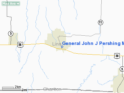
General John J Pershing Memorial Hospital Heliport |
Location & QuickFacts
| FAA Information Effective: | 2008-09-25 |
| Airport Identifier: | MU54 |
| Airport Status: | Operational |
| Longitude/Latitude: | 093-04-02.7240W/39-46-30.0880N
-93.067423/39.775024 (Estimated) |
| Elevation: | 780 ft / 237.74 m (Estimated) |
| Land: | 0 acres |
| From nearest city: | 0 nautical miles N of Brookfield, MO |
| Location: | Linn County, MO |
| Magnetic Variation: | 04E (1985) |
Owner & Manager
| Ownership: | Privately owned |
| Owner: | Gen John J Pershing Hospital |
| Address: | 130 E Lockling Ave
Brookfield, MO 64628 |
| Phone number: | 816-258-2222 |
| Manager: | Ed Murphy |
| Address: | 130 E Lockling Ave
Brookfield, MO 64628 |
| Phone number: | 816-258-2222 |
Airport Operations and Facilities
| Airport Use: | Private
MEDICAL. |
| Wind indicator: | Yes |
| Segmented Circle: | No |
| Control Tower: | No |
| Sectional chart: | Kansas City |
| Region: | ACE - Central |
| Boundary ARTCC: | ZKC - Kansas City |
| Tie-in FSS: | COU - Columbia |
| FSS Toll Free: | 1-800-WX-BRIEF |
Runway Information
Helipad H1
| Dimension: | 53 x 53 ft / 16.2 x 16.2 m |
| Surface: | CONC, |
| |
Runway H1 |
Runway |
| Traffic Pattern: | Left | Left |
|
Radio Navigation Aids
| ID |
Type |
Name |
Ch |
Freq |
Var |
Dist |
| BZK | NDB | Brookfield | | 383.00 | 03E | 2.0 nm |
| CHT | NDB | Chillicothe | | 375.00 | 03E | 19.7 nm |
| TRX | NDB | Trenton | | 400.00 | 03E | 30.4 nm |
| PUR | NDB | Marshall | | 371.00 | 03E | 44.5 nm |
| MCM | VOR/DME | Macon | 076X | 112.90 | 06E | 28.0 nm |
| BQS | VOR/DME | Braymer | 049X | 111.20 | 03E | 38.4 nm |
| IRK | VORTAC | Kirksville | 093X | 114.60 | 06E | 30.8 nm |
Remarks
- PRVDD APCHS ARE MAINTD FOR A 20:1 SLOPE & TRSNL SFCS FOR A 7:1 SLOPE; VFR CONDS ONLY AVOIDING BROOKFIELD MEML ARPT; SECURITY PERSONNEL BE PRESENT DURG USE.
Images and information placed above are from
http://www.airport-data.com/airport/MU54/
We thank them for the data!
| General Info
|
| Country |
United States
|
| State |
MISSOURI
|
| FAA ID |
MU54
|
| Latitude |
39-46-30.088N
|
| Longitude |
093-04-02.724W
|
| Elevation |
780 feet
|
| Near City |
BROOKFIELD
|
We don't guarantee the information is fresh and accurate. The data may
be wrong or outdated.
For more up-to-date information please refer to other sources.
|
|


