 |
|
Location & QuickFacts
| FAA Information Effective: | 2008-09-25 |
| Airport Identifier: | 3MO7 |
| Airport Status: | Operational |
| Longitude/Latitude: | 094-37-00.8620W/40-04-59.9780N
-94.616906/40.083327 (Estimated) |
| Elevation: | 1083 ft / 330.10 m (Surveyed) |
| Land: | 0 acres |
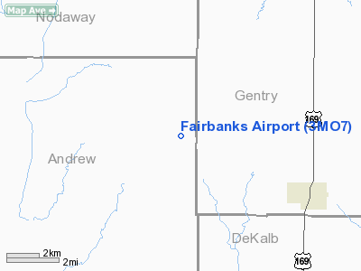
| From nearest city: | 5 nautical miles NW of King City, MO |
| Location: | Andrew County, MO |
| Magnetic Variation: | 05E (1985) |
Owner & Manager
| Ownership: | Privately owned |
| Owner: | Lloyd J Fairbanks |
| Address: | Route 1
King City, MO 64463 |
| Phone number: | 816-535-4351 |
| Address: |
|
Airport Operations and Facilities
| Airport Use: | Private |
| Wind indicator: | No |
| Segmented Circle: | No |
| Control Tower: | No |
| Lighting Schedule: | PHONE REQ
FOR RWY LGTS CALL 816-535-4351. |
| Landing fee charge: | No |
| Sectional chart: | Omaha |
| Region: | ACE - Central |
| Boundary ARTCC: | ZKC - Kansas City |
| Tie-in FSS: | COU - Columbia |
| FSS on Airport: | No |
| FSS Toll Free: | 1-800-WX-BRIEF |
Airport Services
| Airframe Repair: | NONE |
| Power Plant Repair: | NONE |
Runway Information
Runway E/W
| Dimension: | 2400 x 60 ft / 731.5 x 18.3 m |
| Surface: | TURF, |
| Edge Lights: | Medium |
| |
Runway E |
Runway W |
| Traffic Pattern: | Left | Left |
|
Radio Navigation Aids
| ID |
Type |
Name |
Ch |
Freq |
Var |
Dist |
| AZN | NDB | Amazon | | 233.00 | 06E | 18.0 nm |
| EVU | NDB | Emville | | 317.00 | 05E | 21.0 nm |
| EZZ | NDB | Cameron | | 394.00 | 03E | 26.6 nm |
| ICL | NDB | Clarinda | | 353.00 | 04E | 43.0 nm |
| FNB | NDB | Brenner | | 404.00 | 05E | 44.6 nm |
| GPH | NDB | Mosby | | 284.00 | 03E | 46.6 nm |
| TRX | NDB | Trenton | | 400.00 | 03E | 47.1 nm |
| RBA | VOR/DME | Robinson | 019X | 108.20 | 04E | 39.7 nm |
| BQS | VOR/DME | Braymer | 049X | 111.20 | 03E | 43.7 nm |
| STJ | VORTAC | St Joseph | 102X | 115.50 | 08E | 16.0 nm |
| LMN | VORTAC | Lamoni | 114X | 116.70 | 07E | 42.9 nm |
| MCI | VORTAC | Kansas City | 079Y | 113.25 | 05E | 48.3 nm |
Images and information placed above are from
http://www.airport-data.com/airport/3MO7/
We thank them for the data!
| General Info
|
| Country |
United States
|
| State |
MISSOURI
|
| FAA ID |
3MO7
|
| Latitude |
40-04-59.978N
|
| Longitude |
094-37-00.862W
|
| Elevation |
1083 feet
|
| Near City |
KING CITY
|
We don't guarantee the information is fresh and accurate. The data may
be wrong or outdated.
For more up-to-date information please refer to other sources.
|
|


