|
|
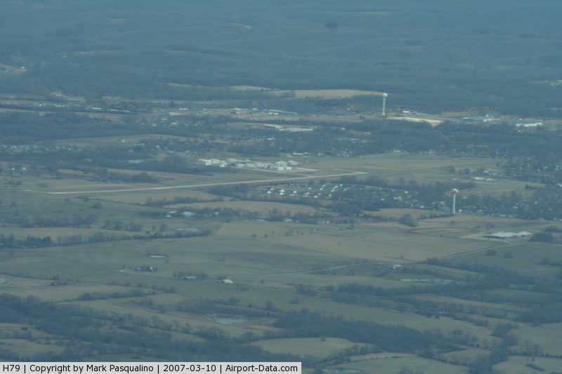
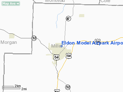
Eldon Model Airpark Airport |
|
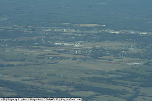 |
(Click on the photo to enlarge) |
Location & QuickFacts
| FAA Information Effective: | 2008-09-25 |
| Airport Identifier: | H79 |
| Airport Status: | Operational |
| Longitude/Latitude: | 092-34-17.0000W/38-21-38.2000N
-92.571389/38.360611 (Estimated) |
| Elevation: | 909 ft / 277.06 m (Estimated) |
| Land: | 138 acres |
| From nearest city: | 1 nautical miles NE of Eldon, MO |
| Location: | Miller County, MO |
| Magnetic Variation: | 04E (1985) |
Owner & Manager
| Ownership: | Publicly owned |
| Owner: | City Of Eldon |
| Address: | 201 E First St Box 355
Eldon, MO 65026 |
| Phone number: | 573-392-2291 |
| Manager: | Mike Hopkins |
| Address: | 201 E First St Box 355
Eldon, MO 65026 |
| Phone number: | 573-392-2299 |
Airport Operations and Facilities
| Airport Use: | Open to public |
| Wind indicator: | Yes |
| Segmented Circle: | Yes |
| Control Tower: | No |
| Lighting Schedule: | DUSK-DAWN
ACTVT MIRL RY 18/36; REIL RYS 18 & 36 - CTAF. |
| Beacon Color: | Clear-Green (lighted land airport) |
| Landing fee charge: | No |
| Sectional chart: | Kansas City |
| Region: | ACE - Central |
| Boundary ARTCC: | ZKC - Kansas City |
| Tie-in FSS: | COU - Columbia |
| FSS on Airport: | No |
| FSS Toll Free: | 1-800-WX-BRIEF |
| NOTAMs Facility: | COU (NOTAM-d service avaliable) |
| Federal Agreements: | NGY |
Airport Communications
| CTAF: | 122.800 |
| Unicom: | 122.800
UNICOM NOT MONITORED. |
Airport Services
| Fuel available: | 100LL
AUTOMATIC CREDIT CARD FUELING SYSTEM 24 HRS A DAY. |
| Bottled Oxygen: | NONE |
| Bulk Oxygen: | NONE |
Runway Information
Runway 18/36
| Dimension: | 3300 x 75 ft / 1005.8 x 22.9 m |
| Surface: | CONC, Good Condition |
| Weight Limit: | Single wheel: 30000 lbs. |
| Edge Lights: | Medium |
| |
Runway 18 |
Runway 36 |
| Longitude: | 092-34-16.2800W | 092-34-17.6800W |
| Latitude: | 38-21-54.5400N | 38-21-21.9300N |
| Traffic Pattern: | Left | Right |
| Markings: | Non-precision instrument, Good Condition
RY DESIGNATION MKG FADED. | Basic, Good Condition |
| Runway End Identifier: | Yes
REIL OTS INDEFLY. | Yes
REIL OTS INDEFLY. |
| Obstruction: | 28 ft gnd, 760.0 ft from runway, 20:1 slope to clear | 76 ft trees, 1611.0 ft from runway, 86 ft right of centerline, 18:1 slope to clear |
|
Radio Navigation Aids
| ID |
Type |
Name |
Ch |
Freq |
Var |
Dist |
| AIZ | NDB | Kaiser | | 377.00 | 05E | 15.9 nm |
| ONH | NDB | Noah | | 515.00 | 03E | 22.6 nm |
| JE | NDB | Algoa | | 397.00 | 03E | 26.1 nm |
| DMO | NDB | Sedalia | | 281.00 | 03E | 35.2 nm |
| VER | NDB | Viertel | | 347.00 | 02E | 35.8 nm |
| FTT | NDB | Guthrie | | 317.00 | 03E | 39.4 nm |
| BHN | NDB | Buckhorn | | 391.00 | 03E | 45.6 nm |
| IEB | NDB | Lebanon | | 414.00 | 03E | 47.6 nm |
| HCK | NDB | Hawks | | 296.00 | 04E | 49.8 nm |
| TBN | VOR | Forney | | 110.00 | 03E | 42.4 nm |
| SHY | VOR/DME | Sunshine | 021X | 108.40 | 05E | 19.3 nm |
| COU | VOR/DME | Columbia | 039X | 110.20 | 03E | 31.7 nm |
| VIH | VOR/DME | Vichy | 124X | 117.70 | 06E | 42.7 nm |
| HLV | VORTAC | Hallsville | 089X | 114.20 | 06E | 49.8 nm |
| JEF | VOT | Jefferson City | | 112.00 | | 24.2 nm |
Remarks
- GEESE & OTHER WILDLIFE ON & INVOF ARPT.
Images and information placed above are from
http://www.airport-data.com/airport/H79/
We thank them for the data!
| General Info
|
| Country |
United States
|
| State |
MISSOURI
|
| FAA ID |
H79
|
| Latitude |
38-21-38.254N
|
| Longitude |
092-34-17.657W
|
| Elevation |
909 feet
|
| Near City |
ELDON
|
We don't guarantee the information is fresh and accurate. The data may
be wrong or outdated.
For more up-to-date information please refer to other sources.
|
|