|
|
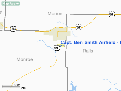
Capt. Ben Smith Airfield - Monroe City Airport |
|
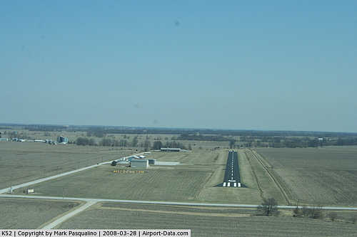 |
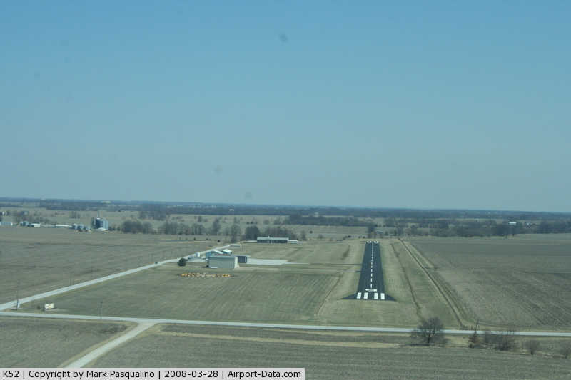
(Click on the photo to enlarge) |
|
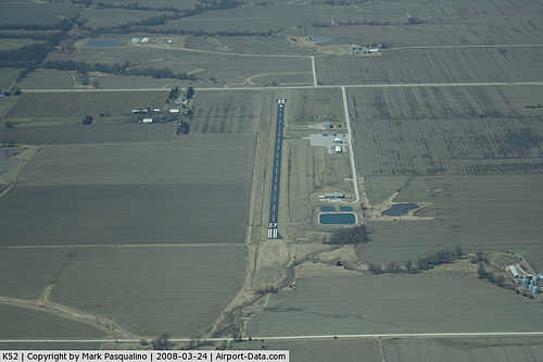 |
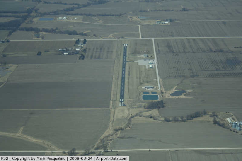
(Click on the photo to enlarge) |
|
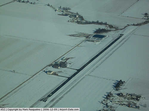 |
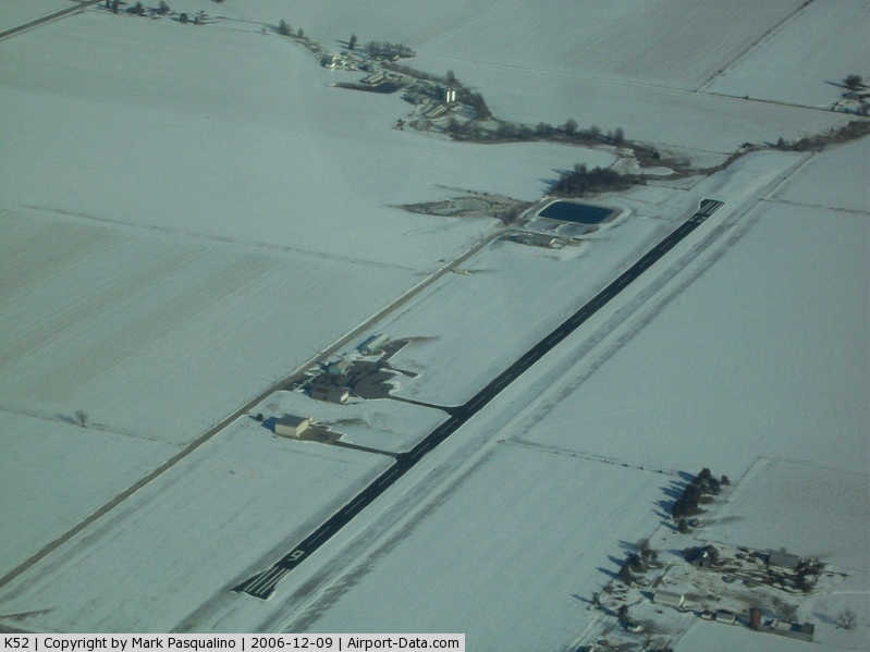
(Click on the photo to enlarge) |
Location & QuickFacts
| FAA Information Effective: | 2008-09-25 |
| Airport Identifier: | K52 |
| Airport Status: | Operational |
| Longitude/Latitude: | 091-43-37.1800W/39-38-03.8790N
-91.726994/39.634411 (Estimated) |
| Elevation: | 737 ft / 224.64 m (Surveyed) |
| Land: | 85 acres |
| From nearest city: | 1 nautical miles S of Monroe City, MO |
| Location: | Monroe County, MO |
| Magnetic Variation: | 01E (2000) |
Owner & Manager
| Ownership: | Publicly owned |
| Owner: | City Of Monroe |
| Address: | 109 2nd St., Box 67
Monroe City, MO 63456 |
| Phone number: | 573-735-4585 |
| Manager: | Jim Burns |
| Address: | 109 2nd St., Box 67
Monroe City, MO 63456 |
| Phone number: | 573-735-4585
AIRPORT OFFICE PHONE (573) 735-4845. |
Airport Operations and Facilities
| Airport Use: | Open to public |
| Wind indicator: | Yes |
| Segmented Circle: | Yes |
| Control Tower: | No |
| Lighting Schedule: | DUSK-DAWN
MIRL RY 09/27 PRESET LOW INTST; TO INCR INTST & ACTVT PAPI RYS 09 & 27 - CTAF. |
| Beacon Color: | Clear-Green (lighted land airport) |
| Landing fee charge: | No |
| Sectional chart: | Kansas City |
| Region: | ACE - Central |
| Traffic Pattern Alt: | 965 ft |
| Boundary ARTCC: | ZKC - Kansas City |
| Tie-in FSS: | STL - Saint Louis |
| FSS on Airport: | No |
| FSS Toll Free: | 1-800-WX-BRIEF |
| NOTAMs Facility: | STL (NOTAM-d service avaliable) |
Airport Communications
| CTAF: | 122.800 |
| Unicom: | 122.800 |
Airport Services
| Fuel available: | 100LL |
| Bottled Oxygen: | NONE |
| Bulk Oxygen: | NONE |
Runway Information
Runway 09/27
| Dimension: | 3515 x 50 ft / 1071.4 x 15.2 m |
| Surface: | ASPH, Good Condition |
| Weight Limit: | Single wheel: 16000 lbs. |
| Edge Lights: | Non-standard lighting system
NSTD MIRL; SPLIT LENSES OF AMBER & WHITE MISSING LAST 1,758 FT OF RY 27. |
| |
Runway 09 |
Runway 27 |
| Longitude: | 091-43-59.6360W | 091-43-14.7240W |
| Latitude: | 39-38-04.4560N | 39-38-03.3010N |
| Elevation: | 737.00 ft | 734.00 ft |
| Alignment: | 92 | 127 |
| Traffic Pattern: | Left | Left |
| Markings: | Non-precision instrument, Good Condition
RY 09/27 DESIGNATION MKGS FADED & UNREADABLE. | Non-precision instrument, Fair Condition |
| Crossing Height: | 35.00 ft | 36.00 ft |
| VASI: | 2-light PAPI on left side
OTS INDEFLY. | 2-light PAPI on left side
OTS INDEFLY. |
| Visual Glide Angle: | 3.00° | 3.00° |
| Obstruction: | 19 ft road, 460.0 ft from runway, 260 ft right of centerline, 13:1 slope to clear
+1-4' FENCE 0-200' FM RY END 120'R. | 35 ft tree, 794.0 ft from runway, 14 ft right of centerline, 16:1 slope to clear
1-5 FT FENCE & BRUSH 65-200 FT FROM RY END & 120 FT L; 1-7 FT BRUSH 55-70 FT FROM RY END & 125-200 FT R. |
|
Radio Navigation Aids
| ID |
Type |
Name |
Ch |
Freq |
Var |
Dist |
| HAE | NDB | Hannibal | | 411.00 | 03E | 14.0 nm |
| UI | NDB | Quincy | | 293.00 | 02E | 26.6 nm |
| PPQ | NDB | Pittsfield | | 344.00 | 02E | 43.7 nm |
| FTT | NDB | Guthrie | | 317.00 | 03E | 49.3 nm |
| MCM | VOR/DME | Macon | 076X | 112.90 | 06E | 35.0 nm |
| UIN | VORTAC | Quincy | 083X | 113.60 | 05E | 24.4 nm |
| HLV | VORTAC | Hallsville | 089X | 114.20 | 06E | 36.4 nm |
| IRK | VORTAC | Kirksville | 093X | 114.60 | 06E | 50.0 nm |
Images and information placed above are from
http://www.airport-data.com/airport/K52/
We thank them for the data!
| General Info
|
| Country |
United States
|
| State |
MISSOURI
|
| FAA ID |
K52
|
| Latitude |
39-38-03.879N
|
| Longitude |
091-43-37.180W
|
| Elevation |
737 feet
|
| Near City |
MONROE CITY
|
We don't guarantee the information is fresh and accurate. The data may
be wrong or outdated.
For more up-to-date information please refer to other sources.
|
|