 |
|
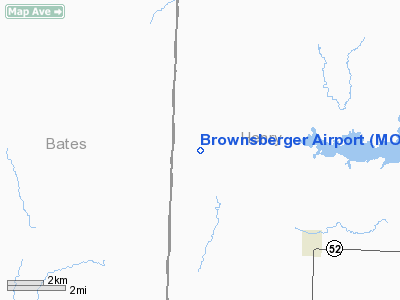
Location & QuickFacts
| FAA Information Effective: | 2008-09-25 |
| Airport Identifier: | MO75 |
| Airport Status: | Operational |
| Longitude/Latitude: | 094-03-11.7940W/38-18-18.0810N
-94.053276/38.305022 (Estimated) |
| Elevation: | 794 ft / 242.01 m (Estimated) |
| Land: | 40 acres |
| From nearest city: | 8 nautical miles NW of Montrose, MO |
| Location: | Henry County, MO |
| Magnetic Variation: | 05E (1985) |
Owner & Manager
| Ownership: | Privately owned |
| Owner: | Leroy Brownsberger Or Walter |
| Address: | Rt 3 Box 111
Montrose, MO 64770 |
| Phone number: | 816-693-4703
OR 913-451-3178. |
| Manager: | Walter Brownsberger |
| Address: | 15015 Melrose
Overland Park, KS 66221 |
Airport Operations and Facilities
| Airport Use: | Private |
| Wind indicator: | Yes |
| Segmented Circle: | No |
| Control Tower: | No |
| Sectional chart: | Kansas City |
| Region: | ACE - Central |
| Boundary ARTCC: | ZKC - Kansas City |
| Tie-in FSS: | COU - Columbia |
| FSS on Airport: | No |
| FSS Toll Free: | 1-800-WX-BRIEF |
Runway Information
Runway 18/36
| Dimension: | 1000 x 50 ft / 304.8 x 15.2 m |
| Surface: | TURF, |
| |
Runway 18 |
Runway 36 |
| Traffic Pattern: | Left | Left |
|
Radio Navigation Aids
| ID |
Type |
Name |
Ch |
Freq |
Var |
Dist |
| GLY | NDB | Golden Valley | | 388.00 | 04E | 17.7 nm |
| EAD | NDB | Nevada | | 209.00 | 06E | 29.3 nm |
| HCK | NDB | Hawks | | 296.00 | 04E | 29.8 nm |
| LXT | NDB | Lesumit | | 263.00 | 04E | 42.2 nm |
| FSK | NDB | Fort Scott | | 379.00 | 05E | 45.5 nm |
| DMO | NDB | Sedalia | | 281.00 | 03E | 47.7 nm |
| SZL | TACAN | Whiteman | 035X | | 04E | 35.1 nm |
| OJC | VOR/DME | Johnson County | 077X | 113.00 | 06E | 45.5 nm |
| BUM | VORTAC | Butler | 106X | 115.90 | 07E | 20.6 nm |
| ANX | VORTAC | Napoleon | 087X | 114.00 | 07E | 47.6 nm |
Remarks
- APCH TO EACH RY MAINTAINED FOR MINIMUM 20:1 GLIDE ANGLE; TRANSITIONAL SFCS MAINTAINED FOR 7:1 SLOPE.
Images and information placed above are from
http://www.airport-data.com/airport/MO75/
We thank them for the data!
| General Info
|
| Country |
United States
|
| State |
MISSOURI
|
| FAA ID |
MO75
|
| Latitude |
38-18-18.081N
|
| Longitude |
094-03-11.794W
|
| Elevation |
794 feet
|
| Near City |
MONTROSE
|
We don't guarantee the information is fresh and accurate. The data may
be wrong or outdated.
For more up-to-date information please refer to other sources.
|
|


