|
|
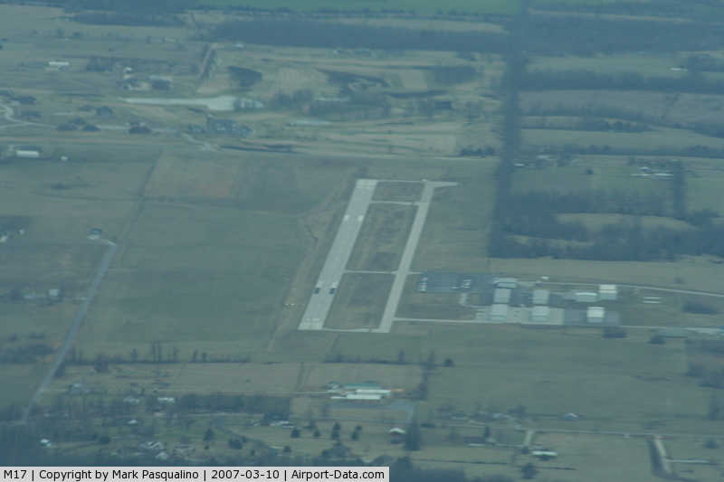
Bolivar Municipal Airport |
|
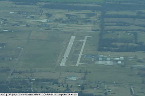 |
(Click on the photo to enlarge) |
Location & QuickFacts
| FAA Information Effective: | 2008-09-25 |
| Airport Identifier: | M17 |
| Airport Status: | Operational |
| Longitude/Latitude: | 093-20-51.7150W/37-35-45.9850N
-93.347699/37.596107 (Estimated) |
| Elevation: | 1092 ft / 332.84 m (Surveyed) |
| Land: | 183 acres |
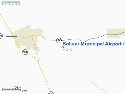
| From nearest city: | 4 nautical miles E of Bolivar, MO |
| Location: | Polk County, MO |
| Magnetic Variation: | 03E (2000) |
Owner & Manager
| Ownership: | Publicly owned |
| Owner: | City Of Bolivar |
| Address: | Box 9 345 S Main
Bolivar, MO 65613 |
| Phone number: | 417-326-2489 |
| Manager: | Jay Foster |
| Address: | 4460 Arpt Dr
Bolivar, MO 65613 |
| Phone number: | 417-777-6800
FAX: 417-777-5558 |
Airport Operations and Facilities
| Airport Use: | Open to public |
| Wind indicator: | Yes |
| Segmented Circle: | Yes |
| Control Tower: | No |
| Lighting Schedule: | DUSK-DAWN
RY 18/36 MIRL DUSK-2330; AFT 2330 ACTVT - CTAF. PAPI RYS 18 &36 ON CONTINOUSLY. |
| Beacon Color: | Clear-Green (lighted land airport) |
| Landing fee charge: | No |
| Sectional chart: | Kansas City |
| Region: | ACE - Central |
| Boundary ARTCC: | ZKC - Kansas City |
| Tie-in FSS: | COU - Columbia |
| FSS on Airport: | No |
| FSS Toll Free: | 1-800-WX-BRIEF |
| NOTAMs Facility: | COU (NOTAM-d service avaliable) |
| Federal Agreements: | NGY |
Airport Communications
| CTAF: | 123.000 |
| Unicom: | 123.000 |
Airport Services
| Fuel available: | 100LLA
FUEL 24 HRS AVAIL. |
| Airframe Repair: | MINOR |
| Power Plant Repair: | MAJOR |
Runway Information
Runway 18/36
| Dimension: | 4000 x 75 ft / 1219.2 x 22.9 m |
| Surface: | ASPH, Good Condition |
| Weight Limit: | Single wheel: 12500 lbs. |
| Edge Lights: | Medium |
| |
Runway 18 |
Runway 36 |
| Longitude: | 093-20-51.9906W | 093-20-53.8954W |
| Latitude: | 37-36-04.7781N | 37-35-25.2622N |
| Elevation: | 1092.00 ft | 1092.00 ft |
| Alignment: | 127 | 3 |
| Traffic Pattern: | Left | Left |
| Markings: | Non-precision instrument, Fair Condition | Non-precision instrument, Fair Condition |
| Crossing Height: | 38.00 ft | 35.00 ft |
| VASI: | 2-light PAPI on left side | 2-light PAPI on left side |
| Visual Glide Angle: | 3.00° | 3.00° |
| Obstruction: | 23 ft trees, 655.0 ft from runway, 92 ft right of centerline, 19:1 slope to clear | 52 ft trees, 692.0 ft from runway, 279 ft right of centerline, 9:1 slope to clear |
|
Radio Navigation Aids
| ID |
Type |
Name |
Ch |
Freq |
Var |
Dist |
| ILJ | NDB | Willard | | 254.00 | 03E | 18.4 nm |
| IEB | NDB | Lebanon | | 414.00 | 03E | 32.9 nm |
| LLU | NDB | Spring River | | 356.00 | 05E | 46.3 nm |
| EAD | NDB | Nevada | | 209.00 | 06E | 48.1 nm |
| AIZ | NDB | Kaiser | | 377.00 | 05E | 48.2 nm |
| GLY | NDB | Golden Valley | | 388.00 | 04E | 48.5 nm |
| AOV | NDB | Bilmart | | 341.00 | 02E | 49.4 nm |
| SHY | VOR/DME | Sunshine | 021X | 108.40 | 05E | 44.3 nm |
| SGF | VORTAC | Springfield | 116X | 116.90 | 04E | 14.5 nm |
| DGD | VORTAC | Dogwood | 031X | 109.40 | 06E | 41.1 nm |
Remarks
- EXTENSIVE STUDENT PILOT TRAINING INVOF ARPT.
- WILDLIFE & BIRDS ON & INVOF ARPT.
- PRVDD A CLEAR APCH TO EACH RY FOR A MINIMUM 34:1 GLIDE SLOPE AND A CLEAR TRANSITIONAL SFC FOR A 7:1 SLOPE.
Images and information placed above are from
http://www.airport-data.com/airport/M17/
We thank them for the data!
| General Info
|
| Country |
United States
|
| State |
MISSOURI
|
| FAA ID |
M17
|
| Latitude |
37-35-45.985N
|
| Longitude |
093-20-51.715W
|
| Elevation |
1092 feet
|
| Near City |
BOLIVAR
|
We don't guarantee the information is fresh and accurate. The data may
be wrong or outdated.
For more up-to-date information please refer to other sources.
|
|