 |
|
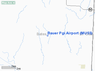
Location & QuickFacts
| FAA Information Effective: | 2008-09-25 |
| Airport Identifier: | MU55 |
| Airport Status: | Operational |
| Longitude/Latitude: | 094-10-25.8060W/38-08-12.1000N
-94.173835/38.136694 (Estimated) |
| Elevation: | 900 ft / 274.32 m (Estimated) |
| Land: | 45 acres |
| From nearest city: | 6 nautical miles NE of Appleton City, MO |
| Location: | Bates County, MO |
| Magnetic Variation: | 05E (1985) |
Owner & Manager
| Ownership: | Privately owned |
| Owner: | Everett L. Bauer |
| Address: | Rt 3
Appleton City, MO 64724 |
| Phone number: | 417-395-2208 |
| Manager: | Everett L. Bauer |
| Address: | Rt 3
Appleton City, MO 64724 |
| Phone number: | 417-395-2208 |
Airport Operations and Facilities
| Airport Use: | Private |
| Wind indicator: | Yes |
| Segmented Circle: | No |
| Control Tower: | No |
| Sectional chart: | Kansas City |
| Region: | ACE - Central |
| Boundary ARTCC: | ZKC - Kansas City |
| Tie-in FSS: | COU - Columbia |
| FSS Toll Free: | 1-800-WX-BRIEF |
Runway Information
Runway 02/20
| Dimension: | 1900 x 50 ft / 579.1 x 15.2 m |
| Surface: | TURF, |
| |
Runway 02 |
Runway 20 |
| Traffic Pattern: | Left | Left |
| Displaced threshold: | 200.00 ft | 0.00 ft |
| Obstruction: | 25 ft road, 250.0 ft from runway | |
|
Radio Navigation Aids
| ID |
Type |
Name |
Ch |
Freq |
Var |
Dist |
| EAD | NDB | Nevada | | 209.00 | 06E | 17.8 nm |
| GLY | NDB | Golden Valley | | 388.00 | 04E | 26.7 nm |
| FSK | NDB | Fort Scott | | 379.00 | 05E | 34.7 nm |
| LLU | NDB | Spring River | | 356.00 | 05E | 39.6 nm |
| HCK | NDB | Hawks | | 296.00 | 04E | 41.0 nm |
| PTS | NDB | Pittsburg | | 365.00 | 05E | 49.3 nm |
| SZL | TACAN | Whiteman | 035X | | 04E | 46.5 nm |
| OJC | VOR/DME | Johnson County | 077X | 113.00 | 06E | 49.9 nm |
| BUM | VORTAC | Butler | 106X | 115.90 | 07E | 16.9 nm |
Remarks
- PRVDD APCHS ARE MAINTD FOR A 20:1 SLOPE & TRSNL SFCS FOR A 7:1 SLOPE.
Images and information placed above are from
http://www.airport-data.com/airport/MU55/
We thank them for the data!
| General Info
|
| Country |
United States
|
| State |
MISSOURI
|
| FAA ID |
MU55
|
| Latitude |
38-08-12.100N
|
| Longitude |
094-10-25.806W
|
| Elevation |
900 feet
|
| Near City |
APPLETON CITY
|
We don't guarantee the information is fresh and accurate. The data may
be wrong or outdated.
For more up-to-date information please refer to other sources.
|
|


