 |
|
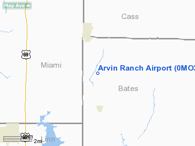
Location & QuickFacts
| FAA Information Effective: | 2008-09-25 |
| Airport Identifier: | 0MO3 |
| Airport Status: | Operational |
| Longitude/Latitude: | 094-35-35.8370W/38-26-25.0590N
-94.593288/38.440294 (Estimated) |
| Elevation: | 1000 ft / 304.80 m (Estimated) |
| Land: | 80 acres |
| From nearest city: | 3 nautical miles SE of Drexel, MO |
| Location: | Bates County, MO |
| Magnetic Variation: | 05E (1985) |
Owner & Manager
| Ownership: | Privately owned |
| Owner: | Robert J. Arvin |
| Address: | Route 1, Box 37
Drexel, MO 64742 |
| Phone number: | 816-333-6792 |
| Address: |
|
Airport Operations and Facilities
| Airport Use: | Private |
| Wind indicator: | Yes |
| Segmented Circle: | No |
| Control Tower: | No |
| Landing fee charge: | No |
| Sectional chart: | Kansas City |
| Region: | ACE - Central |
| Boundary ARTCC: | ZKC - Kansas City |
| Tie-in FSS: | COU - Columbia |
| FSS on Airport: | No |
| FSS Toll Free: | 1-800-WX-BRIEF |
Airport Services
| Airframe Repair: | NONE |
| Power Plant Repair: | NONE |
Runway Information
Runway NE/SW
| Dimension: | 1800 x 50 ft / 548.6 x 15.2 m |
| Surface: | TURF, |
| |
Runway NE |
Runway SW |
| Traffic Pattern: | Left | Left |
|
Radio Navigation Aids
| ID |
Type |
Name |
Ch |
Freq |
Var |
Dist |
| LXT | NDB | Lesumit | | 263.00 | 04E | 33.0 nm |
| GKB | NDB | Norge | | 517.00 | 05E | 37.4 nm |
| GQ | NDB | Norge | | 517.00 | 05E | 37.4 nm |
| EAD | NDB | Nevada | | 209.00 | 06E | 37.5 nm |
| FSK | NDB | Fort Scott | | 379.00 | 05E | 39.5 nm |
| GLY | NDB | Golden Valley | | 388.00 | 04E | 43.1 nm |
| DO | NDB | Dotte | | 359.00 | 05E | 47.5 nm |
| HCK | NDB | Hawks | | 296.00 | 04E | 49.3 nm |
| OJC | VOR/DME | Johnson County | 077X | 113.00 | 06E | 25.0 nm |
| RIS | VOR/DME | Riverside | 051X | 111.40 | 05E | 40.9 nm |
| BUM | VORTAC | Butler | 106X | 115.90 | 07E | 11.3 nm |
| ANX | VORTAC | Napoleon | 087X | 114.00 | 07E | 45.0 nm |
| MKC | VOT | Kansas City Downtown | | 108.60 | | 41.0 nm |
Images and information placed above are from
http://www.airport-data.com/airport/0MO3/
We thank them for the data!
| General Info
|
| Country |
United States
|
| State |
MISSOURI
|
| FAA ID |
0MO3
|
| Latitude |
38-26-25.059N
|
| Longitude |
094-35-35.837W
|
| Elevation |
1000 feet
|
| Near City |
DREXEL
|
We don't guarantee the information is fresh and accurate. The data may
be wrong or outdated.
For more up-to-date information please refer to other sources.
|
|


