 |
|
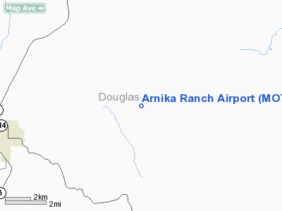
Location & QuickFacts
| FAA Information Effective: | 2008-09-25 |
| Airport Identifier: | MO77 |
| Airport Status: | Operational |
| Longitude/Latitude: | 092-32-33.5980W/36-58-30.1960N
-92.542666/36.975054 (Estimated) |
| Elevation: | 1320 ft / 402.34 m (Estimated) |
| Land: | 0 acres |
| From nearest city: | 5 nautical miles E of Ava, MO |
| Location: | Douglas County, MO |
| Magnetic Variation: | 04E (1985) |
Owner & Manager
| Ownership: | Privately owned |
| Owner: | Arnold Zimmerman |
| Address: | 8456 Charles Court
Downers Grove, IL 60516 |
| Phone number: | 708-985-5555 |
| Manager: | Arnold Zimmerman |
| Address: | 8456 Charles Court
Downers Grove, IL 60516 |
| Phone number: | 708-985-5555 |
Airport Operations and Facilities
| Airport Use: | Private |
| Wind indicator: | Yes |
| Segmented Circle: | No |
| Control Tower: | No |
| Landing fee charge: | No |
| Sectional chart: | Kansas City |
| Region: | ACE - Central |
| Boundary ARTCC: | ZKC - Kansas City |
| Tie-in FSS: | COU - Columbia |
| FSS on Airport: | No |
| FSS Toll Free: | 1-800-WX-BRIEF |
Runway Information
Runway 12/30
| Dimension: | 2200 x 50 ft / 670.6 x 15.2 m |
| Surface: | TURF, |
| |
Runway 12 |
Runway 30 |
| Traffic Pattern: | Left | Left |
|
Radio Navigation Aids
| ID |
Type |
Name |
Ch |
Freq |
Var |
Dist |
| AOV | NDB | Bilmart | | 341.00 | 02E | 6.5 nm |
| UNO | NDB | Pomona | | 335.00 | 02E | 31.4 nm |
| IEB | NDB | Lebanon | | 414.00 | 03E | 36.3 nm |
| PLK | NDB | Point Lookout/dcmsnd | | 204.00 | 03E | 39.1 nm |
| MNF | NDB | Mountain View | | 365.00 | 03E | 39.9 nm |
| ILJ | NDB | Willard | | 254.00 | 03E | 47.2 nm |
| BHN | NDB | Buckhorn | | 391.00 | 03E | 48.2 nm |
| TBN | VOR | Forney | | 110.00 | 03E | 50.0 nm |
| HUW | VOR/DME | Hutton | 053X | 111.60 | 02E | 31.5 nm |
| FLP | VOR/DME | Flippin | 075X | 112.80 | 03E | 40.8 nm |
| DGD | VORTAC | Dogwood | 031X | 109.40 | 06E | 16.3 nm |
| SGF | VORTAC | Springfield | 116X | 116.90 | 04E | 44.3 nm |
Remarks
- PRVDD TREES ARE REMOVED/TOPPED OR RWY THR DSPLCD SUF DSTC SO TREES WOULD NO LONGER PRESENT PSBL UNSAFE COND FOR ACFT USING RWY.
Images and information placed above are from
http://www.airport-data.com/airport/MO77/
We thank them for the data!
| General Info
|
| Country |
United States
|
| State |
MISSOURI
|
| FAA ID |
MO77
|
| Latitude |
36-58-30.196N
|
| Longitude |
092-32-33.598W
|
| Elevation |
1320 feet
|
| Near City |
AVA
|
We don't guarantee the information is fresh and accurate. The data may
be wrong or outdated.
For more up-to-date information please refer to other sources.
|
|


