 |
|
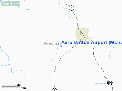
Location & QuickFacts
| FAA Information Effective: | 2008-09-25 |
| Airport Identifier: | MU77 |
| Airport Status: | Operational |
| Longitude/Latitude: | 092-43-50.6600W/39-07-45.1100N
-92.730739/39.129197 (Estimated) |
| Elevation: | 820 ft / 249.94 m () |
| Land: | 0 acres |
| From nearest city: | 2 nautical miles SW of Fayette, MO |
| Location: | Howard County, MO |
| Magnetic Variation: | 02E (2000) |
Owner & Manager
| Ownership: | Privately owned |
| Owner: | Robert Britton |
| Address: | 662 Co Rd 309
Fayette, MO |
| Phone number: | 660-248-3214 |
| Manager: | Robert Britton |
| Address: | 662 Co Rd 309
Fayette, MO |
| Phone number: | 660-248-3214 |
Airport Operations and Facilities
| Airport Use: | Private |
| Wind indicator: | Yes |
| Segmented Circle: | No |
| Control Tower: | No |
| Lighting Schedule: | ON CALL
FOR LIRL RY 02/20 CALL 660-248-3214. |
| Region: | ACE - Central |
| Boundary ARTCC: | ZKC - Kansas City |
| Tie-in FSS: | COU - Columbia |
| FSS Toll Free: | 1-800-WX-BRIEF |
Runway Information
Runway 02/20
| Dimension: | 2500 x 75 ft / 762.0 x 22.9 m |
| Surface: | TURF, Good Condition |
| Edge Lights: | Low |
| |
Runway 02 |
Runway 20 |
| Traffic Pattern: | Left | Right |
| Obstruction: | 50 ft tower, 1320.0 ft from runway | 250 ft tower, 330.0 ft from runway |
|
Radio Navigation Aids
| ID |
Type |
Name |
Ch |
Freq |
Var |
Dist |
| VER | NDB | Viertel | | 347.00 | 02E | 11.0 nm |
| PUR | NDB | Marshall | | 371.00 | 03E | 22.3 nm |
| DMO | NDB | Sedalia | | 281.00 | 03E | 33.0 nm |
| ONH | NDB | Noah | | 515.00 | 03E | 37.3 nm |
| FTT | NDB | Guthrie | | 317.00 | 03E | 38.0 nm |
| BZK | NDB | Brookfield | | 383.00 | 03E | 42.0 nm |
| JE | NDB | Algoa | | 397.00 | 03E | 46.6 nm |
| HCK | NDB | Hawks | | 296.00 | 04E | 49.6 nm |
| SZL | TACAN | Whiteman | 035X | | 04E | 45.0 nm |
| COU | VOR/DME | Columbia | 039X | 110.20 | 03E | 30.7 nm |
| MCM | VOR/DME | Macon | 076X | 112.90 | 06E | 33.6 nm |
| HLV | VORTAC | Hallsville | 089X | 114.20 | 06E | 28.1 nm |
| JEF | VOT | Jefferson City | | 112.00 | | 42.4 nm |
Remarks
- PRVDD A CLEAR APCH TO EA RY FOR A 20:1 GLIDE SLOPE & A CLEAR TRANSITIONAL SFC FOR A 7:1 SLOPE; & ESTABLISH ALL TFC PATTERNS TO THE WEST SIDE OF RY 02/20.
Images and information placed above are from
http://www.airport-data.com/airport/MU77/
We thank them for the data!
| General Info
|
| Country |
United States
|
| State |
MISSOURI
|
| FAA ID |
MU77
|
| Latitude |
39-07-45.110N
|
| Longitude |
092-43-50.660W
|
| Elevation |
820 feet
|
| Near City |
FAYETTE
|
We don't guarantee the information is fresh and accurate. The data may
be wrong or outdated.
For more up-to-date information please refer to other sources.
|
|


