 |
|
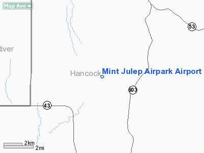
Mint Julep Airpark Airport |
Location & QuickFacts
| FAA Information Effective: | 2008-09-25 |
| Airport Identifier: | 5MS5 |
| Airport Status: | Operational |
| Longitude/Latitude: | 089-27-46.2000W/30-32-42.6000N
-89.462833/30.545167 (Estimated) |
| Elevation: | 100 ft / 30.48 m (Estimated) |
| Land: | 10 acres |
| From nearest city: | 12 nautical miles E of Picayune, MS |
| Location: | Hancock County, MS |
| Magnetic Variation: | 01E () |
Owner & Manager
| Ownership: | Privately owned |
| Owner: | Mike Lisenbea/tyrone Gill |
| Address: | P.o. Box 275
Picayune, MS 38466 |
| Phone number: | 601-798-5720 |
| Manager: | Mike Lisenbea |
| Address: | P.o. Box 275
Picayune, MS 38466 |
| Phone number: | 601-798-5720 |
Airport Operations and Facilities
| Airport Use: | Private |
| Wind indicator: | Yes |
| Segmented Circle: | No |
| Control Tower: | No |
| Sectional chart: | New Orleans |
| Region: | ASO - Southern |
| Boundary ARTCC: | ZHU - Houston |
| Tie-in FSS: | GWO - Greenwood |
| FSS Toll Free: | 1-800-WX-BRIEF |
Runway Information
Runway 03/21
| Dimension: | 5000 x 125 ft / 1524.0 x 38.1 m |
| Surface: | TURF, Good Condition |
| |
Runway 03 |
Runway 21 |
| Traffic Pattern: | Left | Left |
|
Radio Navigation Aids
| ID |
Type |
Name |
Ch |
Freq |
Var |
Dist |
| HS | NDB | Hanco | | 221.00 | 01E | 5.7 nm |
| AYI | NDB | Hanco | | 221.00 | 03E | 5.7 nm |
| MJD | NDB | Picayune | | 276.00 | 01E | 10.3 nm |
| FNA | NDB | Florenville | | 371.00 | 03E | 20.1 nm |
| DEF | NDB | Slidell | | 256.00 | 03E | 24.4 nm |
| BX | NDB | Carma | | 353.00 | 02E | 28.9 nm |
| FOH | NDB | Foxworth | | 331.00 | 05E | 48.7 nm |
| BIX | TACAN | Keesler | 055X | | 01E | 28.8 nm |
| HMU | VOR | Hammond | | 109.60 | 03E | 49.5 nm |
| PCU | VOR/DME | Picayune | 059X | 112.20 | 05E | 13.9 nm |
| GPT | VOR/DME | Gulfport | 27X | 109.00 | 02E | 21.8 nm |
| NEW | VOT | New Orleans Lakefront | | 111.00 | | 42.2 nm |
Remarks
- PRVDD VFR, PVT USE & MAINTENANCE OF NON-INTERFERING TFC PAT WITH MS74.
Images and information placed above are from
http://www.airport-data.com/airport/5MS5/
We thank them for the data!
| General Info
|
| Country |
United States
|
| State |
MISSISSIPPI
|
| FAA ID |
5MS5
|
| Latitude |
30-32-42.600N
|
| Longitude |
089-27-46.200W
|
| Elevation |
100 feet
|
| Near City |
PICAYUNE
|
We don't guarantee the information is fresh and accurate. The data may
be wrong or outdated.
For more up-to-date information please refer to other sources.
|
|


