 |
|
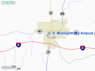
Location & QuickFacts
| FAA Information Effective: | 2008-09-25 |
| Airport Identifier: | 2M4 |
| Airport Status: | Operational |
| Longitude/Latitude: | 089-29-19.2460W/32-21-12.5200N
-89.488679/32.353478 (Estimated) |
| Elevation: | 517 ft / 157.58 m (Surveyed) |
| Land: | 87 acres |
| From nearest city: | 1 nautical miles S of Forest, MS |
| Location: | Scott County, MS |
| Magnetic Variation: | 02E (1985) |
Owner & Manager
| Ownership: | Publicly owned |
| Owner: | City Of Forest
THE HONORABLE NANCY CHAMBERS, MAYOR OF FOREST |
| Address: | P.o. Box 298
Forest, MS 39074 |
| Phone number: | 601-469-2921 |
| Manager: | Randall George |
| Address: | City Of Forest, P.o.box 298
Forest, MS 39074 |
| Phone number: | 601-469-2921
CITY HALL PHONE. |
Airport Operations and Facilities
| Airport Use: | Open to public |
| Wind indicator: | Yes |
| Segmented Circle: | Yes |
| Control Tower: | No |
| Lighting Schedule: | DUSK-DAWN
MIRL RY 16/34 PRESET MED INTST DUSK-DAWN, TO INCR INTST ACTVT - CTAF |
| Beacon Color: | Clear-Green (lighted land airport) |
| Landing fee charge: | No |
| Sectional chart: | Memphis |
| Region: | ASO - Southern |
| Boundary ARTCC: | ZME - Memphis |
| Tie-in FSS: | GWO - Greenwood |
| FSS on Airport: | No |
| FSS Toll Free: | 1-800-WX-BRIEF |
| NOTAMs Facility: | GWO (NOTAM-d service avaliable) |
| Federal Agreements: | NGY |
Airport Communications
Airport Services
| Airframe Repair: | NONE |
| Power Plant Repair: | NONE |
| Bottled Oxygen: | NONE |
| Bulk Oxygen: | NONE |
Runway Information
Runway 16/34
| Dimension: | 3600 x 75 ft / 1097.3 x 22.9 m |
| Surface: | ASPH, Good Condition |
| Weight Limit: | Single wheel: 25000 lbs. |
| Edge Lights: | Medium |
| |
Runway 16 |
Runway 34 |
| Traffic Pattern: | Left | Left |
| Markings: | Basic, Good Condition
RY 16/34 MARKINGS FADED. | Basic, Good Condition |
| Obstruction: | 61 ft tree, 1125.0 ft from runway, 200 ft right of centerline, 15:1 slope to clear | 59 ft trees, 1080.0 ft from runway, 175 ft left of centerline, 14:1 slope to clear |
|
Radio Navigation Aids
| ID |
Type |
Name |
Ch |
Freq |
Var |
Dist |
| MPE | NDB | Philadelphia | | 219.00 | 01E | 32.5 nm |
| ME | NDB | Savoy | | 356.00 | 01E | 37.0 nm |
| JH | NDB | Brenz | | 260.00 | 02E | 39.4 nm |
| THJ | NDB | Tallahala | | 346.00 | 00E | 42.8 nm |
| OSX | NDB | Kosciusko | | 269.00 | 00W | 44.4 nm |
| RYB | NDB | Raymond | | 375.00 | 03E | 47.0 nm |
| NJW | TACAN | Joe Williams | 61Y | | 01E | 42.4 nm |
| NMM | TACAN | Meridian | 056X | | 01E | 49.7 nm |
| MEI | VORTAC | Meridian | 117X | 117.00 | 05E | 34.8 nm |
| JAN | VORTAC | Jackson | 073X | 112.60 | 05E | 35.7 nm |
| JAN | VOT | Jackson | | 111.00 | | 29.4 nm |
Images and information placed above are from
http://www.airport-data.com/airport/2M4/
We thank them for the data!
| General Info
|
| Country |
United States
|
| State |
MISSISSIPPI
|
| FAA ID |
2M4
|
| Latitude |
32-21-12.520N
|
| Longitude |
089-29-19.246W
|
| Elevation |
517 feet
|
| Near City |
FOREST
|
We don't guarantee the information is fresh and accurate. The data may
be wrong or outdated.
For more up-to-date information please refer to other sources.
|
|


