 |
|
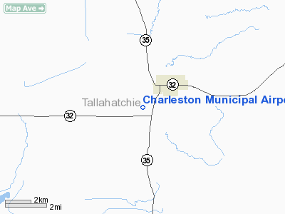
Charleston Municipal Airport |
Location & QuickFacts
| FAA Information Effective: | 2008-09-25 |
| Airport Identifier: | 09M |
| Airport Status: | Operational |
| Longitude/Latitude: | 090-04-41.3220W/33-59-29.4080N
-90.078145/33.991502 (Estimated) |
| Elevation: | 175 ft / 53.34 m (Surveyed) |
| Land: | 47 acres |
| From nearest city: | 2 nautical miles S of Charleston, MS |
| Location: | Tallahatchie County, MS |
| Magnetic Variation: | 02E (1985) |
Owner & Manager
| Ownership: | Publicly owned |
| Owner: | City Of Charleston |
| Address: | Po Box 420
Charleston, MS 38921 |
| Phone number: | 662-647-5481 |
| Manager: | Steve Brown |
| Address: | City Of Charleston, Po Box 420
Charleston, MS 38921 |
| Phone number: | 662-647-8773 |
Airport Operations and Facilities
| Airport Use: | Open to public |
| Wind indicator: | Yes
OTS INDEFLY. |
| Segmented Circle: | No |
| Control Tower: | No |
| Lighting Schedule: | DUSK-DAWN |
| Beacon Color: | Clear-Green (lighted land airport)
OTS INDEFLY. |
| Landing fee charge: | No |
| Sectional chart: | Memphis |
| Region: | ASO - Southern |
| Boundary ARTCC: | ZME - Memphis |
| Tie-in FSS: | GWO - Greenwood |
| FSS on Airport: | No |
| FSS Toll Free: | 1-800-WX-BRIEF |
| NOTAMs Facility: | GWO (NOTAM-d service avaliable) |
| Federal Agreements: | NPRX1
SPECIAL AGREEMENT. |
Airport Communications
Airport Services
| Airframe Repair: | NONE |
| Power Plant Repair: | NONE |
| Bottled Oxygen: | NONE |
| Bulk Oxygen: | NONE |
Runway Information
Runway 18/36
| Dimension: | 3000 x 50 ft / 914.4 x 15.2 m |
| Surface: | ASPH, Good Condition |
| Weight Limit: | Single wheel: 18000 lbs. |
| Edge Lights: | Medium |
| |
Runway 18 |
Runway 36 |
| Traffic Pattern: | Left | Left |
| Markings: | Basic, Good Condition | Basic, Good Condition |
| Obstruction: | 100 ft trees, 3200.0 ft from runway, 300L/ ft right of centerline, 30:1 slope to clear | 48 ft poles, 825.0 ft from runway, 30L/ ft right of centerline, 13:1 slope to clear |
|
Radio Navigation Aids
| ID |
Type |
Name |
Ch |
Freq |
Var |
Dist |
| SBQ | NDB | Scobey | | 245.00 | 01E | 11.8 nm |
| CKM | NDB | Clarksdale | | 341.00 | 02E | 28.3 nm |
| RNV | NDB | Renova | | 272.00 | 04E | 35.9 nm |
| IDL | NDB | Indianola | | 284.00 | 03E | 42.9 nm |
| HEE | NDB | Thompson-robbins | | 251.00 | 01E | 45.8 nm |
| UJM | VOR/DME | Marvell | 033X | 109.60 | 01E | 45.9 nm |
| SQS | VORTAC | Sidon | 094X | 114.70 | 03E | 33.2 nm |
Remarks
- (PAY PHONE) PAY PHONE AVAILABLE. PUBLIC PHONE AVBL 662-647-9484.
Images and information placed above are from
http://www.airport-data.com/airport/09M/
We thank them for the data!
| General Info
|
| Country |
United States
|
| State |
MISSISSIPPI
|
| FAA ID |
09M
|
| Latitude |
33-59-29.408N
|
| Longitude |
090-04-41.322W
|
| Elevation |
175 feet
|
| Near City |
CHARLESTON
|
We don't guarantee the information is fresh and accurate. The data may
be wrong or outdated.
For more up-to-date information please refer to other sources.
|
|


