|
|
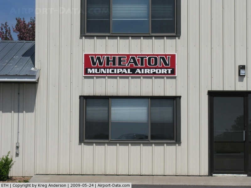
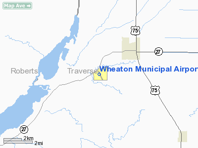
Wheaton Municipal Airport |
|
 |
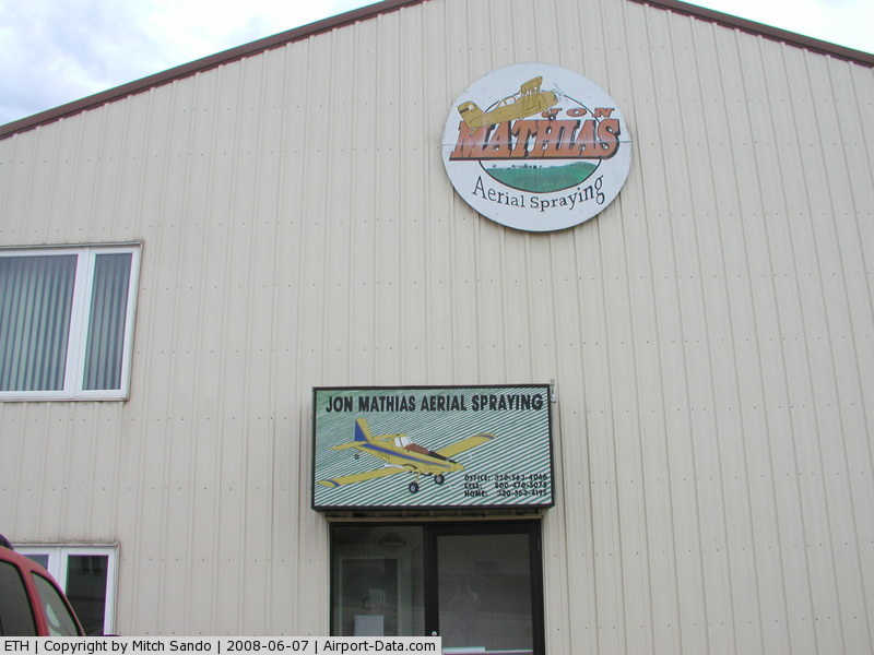
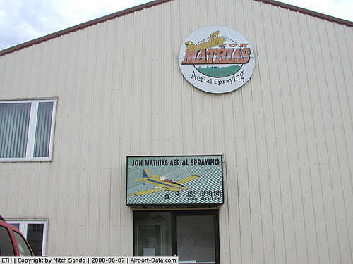
(Click on the photo to enlarge) |
|
 |
(Click on the photo to enlarge) |
|
 |
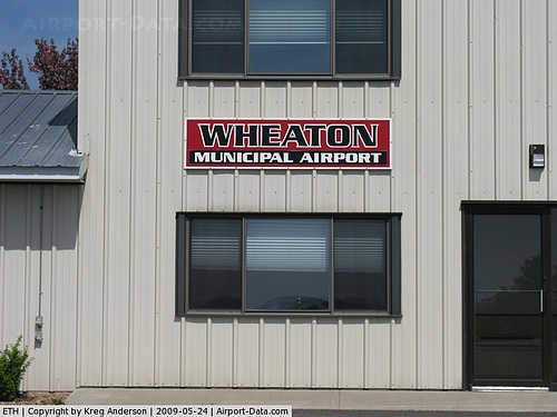
(Click on the photo to enlarge) |
|
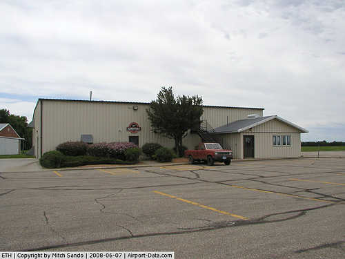 |
(Click on the photo to enlarge) |
|
 |
(Click on the photo to enlarge) |
Location & QuickFacts
| FAA Information Effective: | 2008-09-25 |
| Airport Identifier: | ETH |
| Airport Status: | Operational |
| Longitude/Latitude: | 096-32-36.7430W/45-46-49.6580N
-96.543540/45.780461 (Estimated) |
| Elevation: | 1025 ft / 312.42 m (Surveyed) |
| Land: | 110 acres |
| From nearest city: | 3 nautical miles SW of Wheaton, MN |
| Location: | Traverse County, MN |
| Magnetic Variation: | 05E (1995) |
Owner & Manager
| Ownership: | Publicly owned |
| Owner: | City Of Wheaton |
| Address: | Box 868
Wheaton, MN 56296 |
| Phone number: | 320-563-4110 |
| Manager: | Shane Ayres |
| Address: | Box 868
Wheaton, MN 56296 |
| Phone number: | 320-563-4110 |
Airport Operations and Facilities
| Airport Use: | Open to public |
| Wind indicator: | Yes |
| Segmented Circle: | No |
| Control Tower: | No |
| Lighting Schedule: | DUSK-DAWN
RY 16/34 MIRL PRESET TO LOW INTST. TO INCR INTST AND ACTVT VASI RYS 16 & 34 - CTAF. |
| Beacon Color: | Clear-Green (lighted land airport) |
| Landing fee charge: | No |
| Sectional chart: | Twin Cities |
| Region: | AGL - Great Lakes |
| Boundary ARTCC: | ZMP - Minneapolis |
| Tie-in FSS: | PNM - Princeton |
| FSS on Airport: | No |
| FSS Toll Free: | 1-800-WX-BRIEF |
| NOTAMs Facility: | ETH (NOTAM-d service avaliable) |
| Federal Agreements: | NGY |
Airport Communications
| CTAF: | 122.800 |
| Unicom: | 122.800 |
Airport Services
| Fuel available: | 100LL |
| Airframe Repair: | MAJOR |
| Power Plant Repair: | MAJOR |
| Bottled Oxygen: | NONE |
| Bulk Oxygen: | NONE |
Runway Information
Runway 04/22
| Dimension: | 1919 x 175 ft / 584.9 x 53.3 m |
| Surface: | TURF, Good Condition |
| |
Runway 04 |
Runway 22 |
| Longitude: | 096-32-53.2430W | 096-32-29.7420W |
| Latitude: | 45-46-47.8580N | 45-46-57.2580N |
| Alignment: | 60 | 127 |
| Traffic Pattern: | Left | Left |
| Markings: | ,
MARKED WITH A-FRAMES PAINTED ORANGE & WHITE. | None, |
| Runway End Identifier: | No | No |
| Touchdown Lights: | No | No |
| Obstruction: | 40 ft tree, 1100.0 ft from runway, 27:1 slope to clear | 3 ft crops, 100.0 ft from runway, 33:1 slope to clear |
|
Runway 16/34
| Dimension: | 3300 x 75 ft / 1005.8 x 22.9 m |
| Surface: | ASPH, Fair Condition |
| Edge Lights: | Medium |
| |
Runway 16 |
Runway 34 |
| Longitude: | 096-32-40.3430W | 096-32-27.5360W |
| Latitude: | 45-47-03.6200N | 45-46-32.3130N |
| Elevation: | 1017.00 ft | 1022.00 ft |
| Alignment: | 127 | 127 |
| Traffic Pattern: | Left | Left |
| Markings: | Non-precision instrument, Good Condition | Non-precision instrument, Good Condition |
| Crossing Height: | 39.00 ft | 28.00 ft |
| VASI: | 2-box on left side
& 34 VASI OTS INDEFLY. | 2-box on left side |
| Visual Glide Angle: | 3.00° | 3.00° |
| Runway End Identifier: | No | No |
| Centerline Lights: | No | No |
| Touchdown Lights: | No | No |
| Obstruction: | , 50:1 slope to clear | 16 ft road, 540.0 ft from runway, 250 ft right of centerline, 21:1 slope to clear |
|
Radio Navigation Aids
| ID |
Type |
Name |
Ch |
Freq |
Var |
Dist |
| ETH | NDB | Wheaton | | 326.00 | 05E | 0.2 nm |
| BWP | NDB | Breckenridge-wahpeton | | 233.00 | 05E | 28.0 nm |
| VVV | NDB | Ortonville | | 332.00 | 05E | 29.2 nm |
| AQP | NDB | Appleton | | 356.00 | 05E | 40.1 nm |
| BBB | NDB | Benson | | 239.00 | 05E | 46.4 nm |
| MOX | VOR/DME | Morris | 033X | 109.60 | 05E | 27.4 nm |
| FFM | VOR/DME | Fergus Falls | 041X | 110.40 | 05E | 34.6 nm |
Remarks
- RWY 4/22 CLSD WINTER MONTHS.
Images and information placed above are from
http://www.airport-data.com/airport/ETH/
We thank them for the data!
| General Info
|
| Country |
United States
|
| State |
MINNESOTA
|
| FAA ID |
ETH
|
| Latitude |
45-46-49.658N
|
| Longitude |
096-32-36.743W
|
| Elevation |
1025 feet
|
| Near City |
WHEATON
|
We don't guarantee the information is fresh and accurate. The data may
be wrong or outdated.
For more up-to-date information please refer to other sources.
|
|