|
|
|
 |
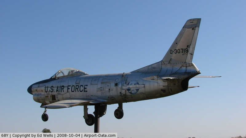
(Click on the photo to enlarge) |
|
 |
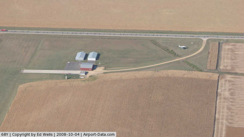
(Click on the photo to enlarge) |
|
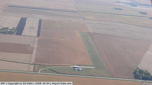 |
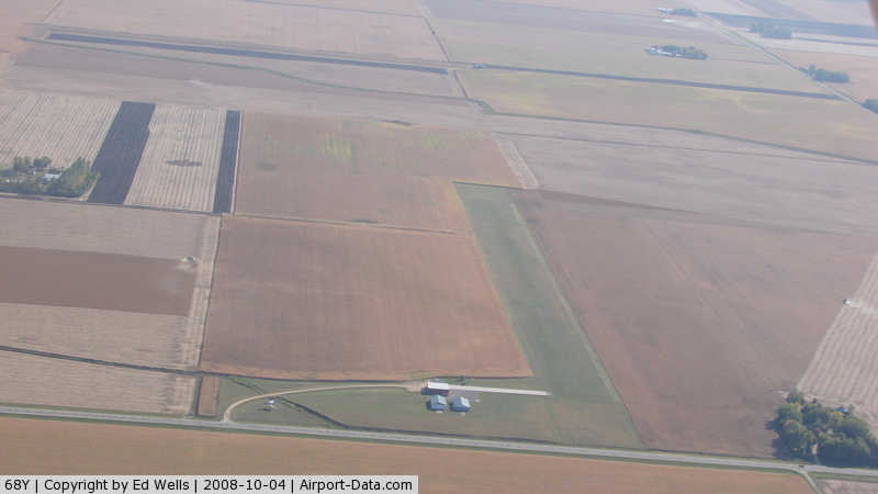
(Click on the photo to enlarge) |
|
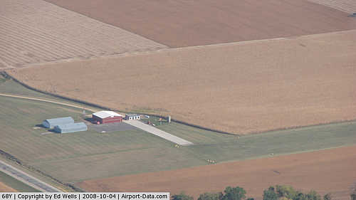 |
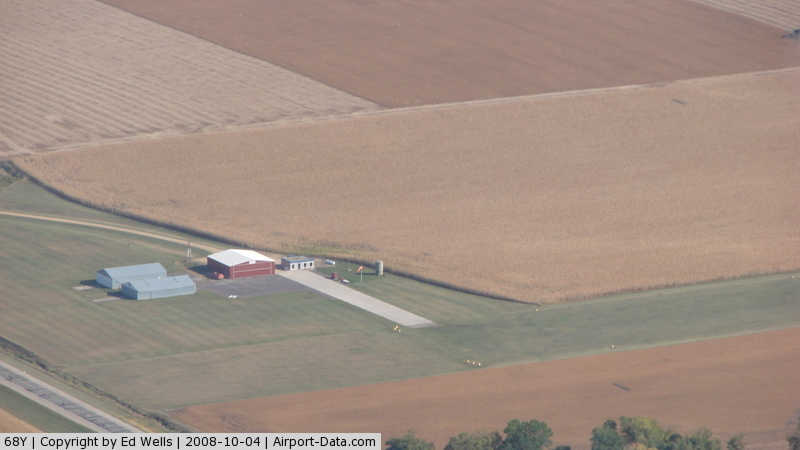
(Click on the photo to enlarge) |
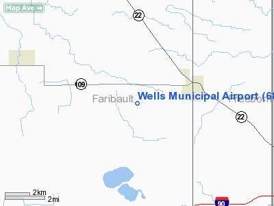
Location & QuickFacts
| FAA Information Effective: | 2008-09-25 |
| Airport Identifier: | 68Y |
| Airport Status: | Operational |
| Longitude/Latitude: | 093-47-00.8160W/43-43-59.8360N
-93.783560/43.733288 (Estimated) |
| Elevation: | 1119 ft / 341.07 m (Estimated) |
| Land: | 45 acres |
| From nearest city: | 3 nautical miles W of Wells, MN |
| Location: | Faribault County, MN |
| Magnetic Variation: | 04E (1985) |
Owner & Manager
| Ownership: | Publicly owned |
| Owner: | City Of Wells |
| Address: | 125 S. Broadway
Wells, MN 56097 |
| Phone number: | 507-553-6371 |
| Manager: | Rick Lavallie |
| Address: | 125 S. Broadway
Wells, MN 56097 |
| Phone number: | 507-553-5415 |
Airport Operations and Facilities
| Airport Use: | Open to public |
| Wind indicator: | Yes |
| Segmented Circle: | No |
| Control Tower: | No |
| Lighting Schedule: | DUSK-DAWN |
| Beacon Color: | Clear-Green (lighted land airport) |
| Landing fee charge: | No |
| Sectional chart: | Omaha |
| Region: | AGL - Great Lakes |
| Boundary ARTCC: | ZMP - Minneapolis |
| Tie-in FSS: | PNM - Princeton |
| FSS on Airport: | No |
| FSS Toll Free: | 1-800-WX-BRIEF |
| NOTAMs Facility: | PNM (NOTAM-d service avaliable) |
| Federal Agreements: | Y1 |
Airport Communications
Airport Services
| Fuel available: | 100LL |
| Airframe Repair: | MAJOR |
| Power Plant Repair: | MAJOR |
Runway Information
Runway 17/35
| Dimension: | 2912 x 198 ft / 887.6 x 60.4 m |
| Surface: | TURF, Good Condition |
| Edge Lights: | Non-standard lighting system
LIRL NSTD DUE TO SPACING. |
| |
Runway 17 |
Runway 35 |
| Longitude: | 093-46-38.7900W | 093-46-37.8400W |
| Latitude: | 43-44-43.2200N | 43-44-14.4700N |
| Elevation: | 1113.00 ft | 1119.00 ft |
| Traffic Pattern: | Left | Left |
| Runway End Identifier: | No | No |
| Centerline Lights: | No | No |
| Touchdown Lights: | No | No |
| Obstruction: | 21 ft road, 475.0 ft from runway, 170 ft right of centerline, 22:1 slope to clear | , 50:1 slope to clear |
|
Radio Navigation Aids
| ID |
Type |
Name |
Ch |
Freq |
Var |
Dist |
| SBU | NDB | Blue Earth | | 332.00 | 04E | 15.9 nm |
| ACQ | NDB | Waseca | | 371.00 | 02E | 22.6 nm |
| FXY | NDB | Forest City | | 359.00 | 05E | 30.8 nm |
| JYG | NDB | St James | | 260.00 | 04E | 36.6 nm |
| AXA | NDB | Algona | | 403.00 | 03E | 44.6 nm |
| PUF | NDB | Puff | | 345.00 | 04E | 47.5 nm |
| ULM | NDB/DME | New Ulm | 050X | 272.00 | 04E | 46.8 nm |
| EST | VOR | Estherville | | 110.40 | 07E | 46.2 nm |
| AEL | VOR/DME | Albert Lea | 035X | 109.80 | 05E | 18.2 nm |
| FRM | VOR/DME | Fairmont | 039X | 110.20 | 07E | 28.3 nm |
| MKT | VOR/DME | Mankato | 045X | 110.80 | 07E | 29.8 nm |
| FOW | VOR/DME | Halfway | 049X | 111.20 | 02E | 33.5 nm |
| JAY | VOR/DME | Austin | 019X | 108.20 | 03E | 38.7 nm |
| MCW | VORTAC | Mason City | 096X | 114.90 | 06E | 43.2 nm |
Remarks
- ULTRALIGHT TRAFFIC ON & INVOF ARPT.
Images and information placed above are from
http://www.airport-data.com/airport/68Y/
We thank them for the data!
| General Info
|
| Country |
United States
|
| State |
MINNESOTA
|
| FAA ID |
68Y
|
| Latitude |
43-43-59.836N
|
| Longitude |
093-47-00.816W
|
| Elevation |
1119 feet
|
| Near City |
WELLS
|
We don't guarantee the information is fresh and accurate. The data may
be wrong or outdated.
For more up-to-date information please refer to other sources.
|
|