|
|
Coordinates: 44°04′24″N 093°33′11″W / 44.07333°N 93.55306°W / 44.07333; -93.55306
| Waseca Municipal Airport |
| IATA: none – ICAO: KACQ – FAA LID: ACQ |
| Summary |
| Airport type |
Public |
| Owner |
City of Waseca |
| Serves |
Waseca, Minnesota |
| Elevation AMSL |
1,126 ft / 343 m |
| Runways |
| Direction |
Length |
Surface |
| ft |
m |
| 15/33 |
3,398 |
1,036 |
Asphalt |
| Statistics (2006) |
| Aircraft operations |
12,500 |
| Source: Federal Aviation Administration |
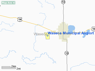
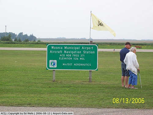
Waseca Municipal Airport (ICAO: KACQ, FAA LID: ACQ) is a public airport located two miles (3 km) west of the central business district of Waseca, in Waseca County, Minnesota, United States. It is owned by the City of Waseca.
Although most U.S. airports use the same three-letter location identifier for the FAA and IATA, Waseca Municipal Airport is assigned ACQ by the FAA but has no designation from the IATA.
Facilities and aircraft
Waseca Municipal Airport covers an area of 309 acres (125 ha) which contains one asphalt paved runway (15/33) measuring 3,398 x 75 ft (1,036 x 23 m). For the 12-month period ending August 31, 2006, the airport had 12,500 aircraft operations, an average of 34 per day, 100% of which are general aviation.
The above content comes from Wikipedia and is published under free licenses – click here to read more.
|
 |
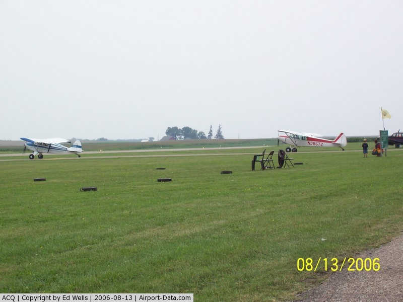
(Click on the photo to enlarge) |
|
 |
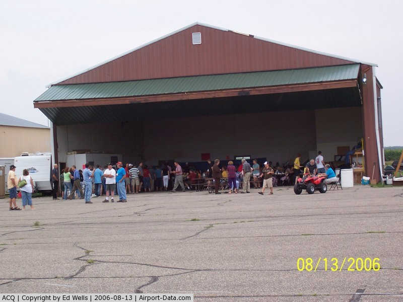
(Click on the photo to enlarge) |
|
 |
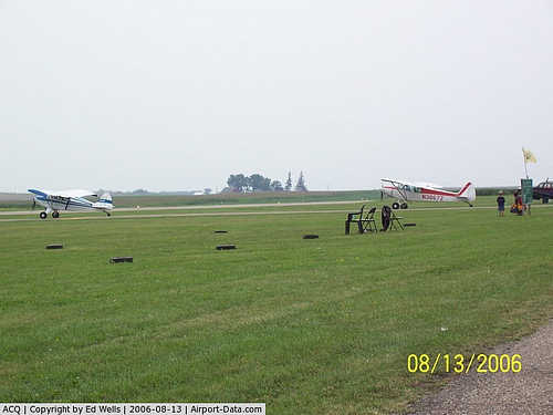
(Click on the photo to enlarge) |
Location & QuickFacts
| FAA Information Effective: | 2008-09-25 |
| Airport Identifier: | ACQ |
| Airport Status: | Operational |
| Longitude/Latitude: | 093-33-10.5970W/44-04-24.4700N
-93.552944/44.073464 (Estimated) |
| Elevation: | 1126 ft / 343.20 m (Surveyed) |
| Land: | 309 acres |
| From nearest city: | 2 nautical miles W of Waseca, MN |
| Location: | Waseca County, MN |
| Magnetic Variation: | 02E (2000) |
Owner & Manager
| Ownership: | Publicly owned |
| Owner: | City Of Waseca |
| Address: | 508 South State St
Waseca, MN 56093 |
| Phone number: | 507-835-9700 |
| Manager: | Maynard Stensrud |
| Address: | 35493 - 110th St
Waseca, MN 56093 |
| Phone number: | 507-835-5920 |
Airport Operations and Facilities
| Airport Use: | Open to public |
| Wind indicator: | Yes |
| Segmented Circle: | No |
| Control Tower: | No |
| Lighting Schedule: | DUSK-DAWN
MIRL RY 15/33 PRESET ON LOW INTST; INCR INTST & ACTVT VASI RY 15 & 33 - CTAF. |
| Beacon Color: | Clear-Green (lighted land airport) |
| Landing fee charge: | No |
| Sectional chart: | Omaha |
| Region: | AGL - Great Lakes |
| Boundary ARTCC: | ZMP - Minneapolis |
| Tie-in FSS: | PNM - Princeton |
| FSS on Airport: | No |
| FSS Toll Free: | 1-800-WX-BRIEF |
| NOTAMs Facility: | ACQ (NOTAM-d service avaliable) |
| Federal Agreements: | NGY |
Airport Communications
| CTAF: | 122.800 |
| Unicom: | 122.800 |
Airport Services
| Fuel available: | 100LL |
| Airframe Repair: | MAJOR |
| Power Plant Repair: | MAJOR |
Runway Information
Runway 15/33
| Dimension: | 3398 x 75 ft / 1035.7 x 22.9 m |
| Surface: | ASPH, Good Condition |
| Weight Limit: | Single wheel: 12500 lbs. |
| Edge Lights: | Medium |
| |
Runway 15 |
Runway 33 |
| Longitude: | 093-33-20.7520W | 093-33-00.4390W |
| Latitude: | 44-04-39.5880N | 44-04-09.3900N |
| Elevation: | 1126.00 ft | 1119.00 ft |
| Alignment: | 127 | 127 |
| Traffic Pattern: | Left | Left |
| Markings: | Non-precision instrument, Good Condition | Non-precision instrument, Good Condition |
| Crossing Height: | 35.00 ft | 35.00 ft |
| VASI: | 2-box on left side | 2-box on left side |
| Visual Glide Angle: | 2.50° | 2.50° |
| Runway End Identifier: | No | No |
| Centerline Lights: | No | No |
| Touchdown Lights: | No | No |
| Obstruction: | 10 ft tree, 400.0 ft from runway, 200 ft right of centerline, 20:1 slope to clear | 15 ft hill, 600.0 ft from runway, 200 ft left of centerline, 26:1 slope to clear
+20 FT TREES 50-80 FT FM RY END 200 FT R. |
|
Radio Navigation Aids
| ID |
Type |
Name |
Ch |
Freq |
Var |
Dist |
| ACQ | NDB | Waseca | | 371.00 | 02E | 0.2 nm |
| SBU | NDB | Blue Earth | | 332.00 | 04E | 37.1 nm |
| JYG | NDB | St James | | 260.00 | 04E | 43.5 nm |
| GYL | NDB | Glencoe | | 407.00 | 03E | 47.2 nm |
| MS | NDB | Narco | | 266.00 | 02E | 49.4 nm |
| ULM | NDB/DME | New Ulm | 050X | 272.00 | 04E | 43.3 nm |
| FOW | VOR/DME | Halfway | 049X | 111.20 | 02E | 11.1 nm |
| MKT | VOR/DME | Mankato | 045X | 110.80 | 07E | 17.8 nm |
| AEL | VOR/DME | Albert Lea | 035X | 109.80 | 05E | 24.8 nm |
| JAY | VOR/DME | Austin | 019X | 108.20 | 03E | 40.6 nm |
| RST | VOR/DME | Rochester | 057X | 112.00 | 05E | 44.9 nm |
| FCM | VOR/DME | Flying Cloud | 055X | 111.80 | 06E | 45.4 nm |
| FRM | VOR/DME | Fairmont | 039X | 110.20 | 07E | 45.6 nm |
| FGT | VORTAC | Farmington | 104X | 115.70 | 06E | 37.1 nm |
Remarks
- ULTRALIGHT TRAFFIC ON & INVOF ARPT.
- BIRDS ON & INVOF ARPT.
Images and information placed above are from
http://www.airport-data.com/airport/ACQ/
We thank them for the data!
| General Info
|
| Country |
United States
|
| State |
MINNESOTA
|
| FAA ID |
ACQ
|
| Latitude |
44-04-24.470N
|
| Longitude |
093-33-10.597W
|
| Elevation |
1126 feet
|
| Near City |
WASECA
|
We don't guarantee the information is fresh and accurate. The data may
be wrong or outdated.
For more up-to-date information please refer to other sources.
|
|