 |
|
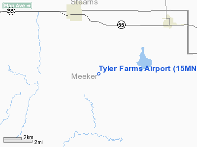
Location & QuickFacts
| FAA Information Effective: | 2008-09-25 |
| Airport Identifier: | 15MN |
| Airport Status: | Operational |
| Longitude/Latitude: | 094-30-38.3700W/45-15-43.9600N
-94.510658/45.262211 (Estimated) |
| Elevation: | 1185 ft / 361.19 m (Estimated) |
| Land: | 500 acres |
| From nearest city: | 5 nautical miles NE of Watkins, MN |
| Location: | Meeker County, MN |
| Magnetic Variation: | 03E (1965) |
Owner & Manager
| Ownership: | Privately owned |
| Owner: | Eric & Angela Segler |
| Address: | 5800 Buffalo Lane
Shoreview, MN 55126 |
| Phone number: | 651-784-8855 |
| Manager: | Tyler Farms Partnership |
| Address: | 5800 Buffalo Lane
Shoreview, MN 55126 |
| Phone number: | 651-784-8855 |
Airport Operations and Facilities
| Airport Use: | Private |
| Wind indicator: | Yes |
| Segmented Circle: | No |
| Control Tower: | No |
| Sectional chart: | Twin Cities |
| Region: | AGL - Great Lakes |
| Boundary ARTCC: | ZMP - Minneapolis |
| Tie-in FSS: | PNM - Princeton |
| FSS Toll Free: | 1-800-WX-BRIEF |
Runway Information
Runway 05/23
| Dimension: | 2500 x 120 ft / 762.0 x 36.6 m |
| Surface: | TURF, |
| |
Runway 05 |
Runway 23 |
| Traffic Pattern: | Left | Left |
| Obstruction: | 50 ft trees, 600.0 ft from runway | |
|
Runway 14/32
| Dimension: | 2000 x 90 ft / 609.6 x 27.4 m |
| Surface: | TURF, |
| |
Runway 14 |
Runway 32 |
| Traffic Pattern: | Left | Left |
|
Radio Navigation Aids
| ID |
Type |
Name |
Ch |
Freq |
Var |
Dist |
| HCD | NDB | Hutchinson | | 209.00 | 04E | 25.0 nm |
| GYL | NDB | Glencoe | | 407.00 | 03E | 35.1 nm |
| GHW | NDB | Glenwood | | 346.00 | 03E | 41.1 nm |
| LXL | NDB | Little Falls | | 359.00 | 03E | 41.9 nm |
| PNM | NDB | Princeton | | 368.00 | 03E | 42.2 nm |
| EE | NDB | Tamie | | 374.00 | 04E | 46.2 nm |
| BBB | NDB | Benson | | 239.00 | 05E | 48.3 nm |
| XCR | NDB | Ripley | | 404.00 | 03E | 49.6 nm |
| STC | VOR/DME | St Cloud | 058X | 112.10 | 03E | 25.7 nm |
| ILL | VOR/DME | Willmar | 084X | 113.70 | 04E | 26.1 nm |
| BDH | VOR/DME | Willmar | 84X | 113.70 | 04E | 27.5 nm |
| DWN | VORTAC | Darwin | 027X | 109.00 | 07E | 10.8 nm |
| GEP | VORTAC | Gopher | 120X | 117.30 | 06E | 48.7 nm |
Remarks
- PRVDD CLEAR 20:1 APCHS, CLEAR OBSTACLE FREE ZONE, AND CLEAR RY SAFETY AREA.
Images and information placed above are from
http://www.airport-data.com/airport/15MN/
We thank them for the data!
| General Info
|
| Country |
United States
|
| State |
MINNESOTA
|
| FAA ID |
15MN
|
| Latitude |
45-15-43.960N
|
| Longitude |
094-30-38.370W
|
| Elevation |
1185 feet
|
| Near City |
WATKINS
|
We don't guarantee the information is fresh and accurate. The data may
be wrong or outdated.
For more up-to-date information please refer to other sources.
|
|


