|
|
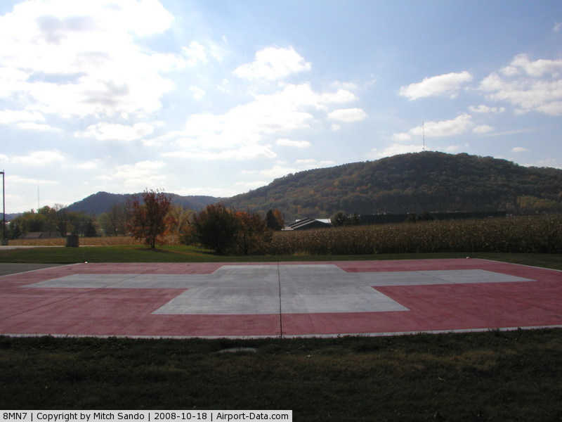
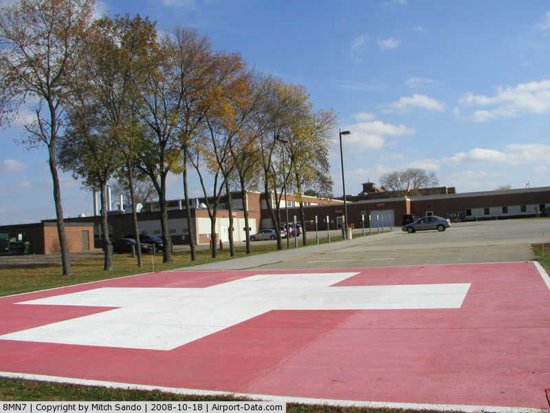
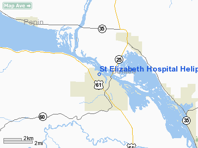
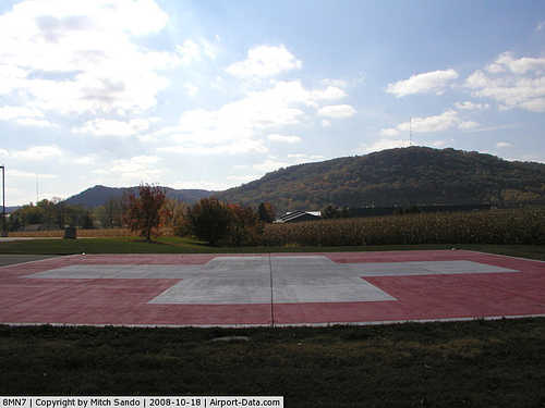
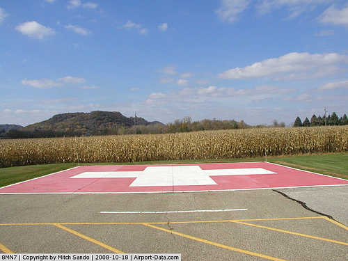
St Elizabeth Hospital Heliport |
|
 |
(Click on the photo to enlarge) |
|
 |
(Click on the photo to enlarge) |
|
 |
(Click on the photo to enlarge) |
Location & QuickFacts
| FAA Information Effective: | 2008-09-25 |
| Airport Identifier: | 8MN7 |
| Airport Status: | Operational |
| Longitude/Latitude: | 092-02-55.0040W/44-23-17.6800N
-92.048612/44.388244 (Estimated) |
| Elevation: | 708 ft / 215.80 m () |
| Land: | 1 acres |
| From nearest city: | 1 nautical miles W of Wabasha, MN |
| Location: | Wabasha County, MN |
| Magnetic Variation: | 01E (2000) |
Owner & Manager
| Ownership: | Privately owned |
| Owner: | St Elizabeth Hospital |
| Address: | 1200 Grant Blvd West
Wabasha, MN 55981 |
| Phone number: | 651-565-4531 |
| Manager: | John Fillmore, Facilities Mgr |
| Address: | St Elizabeth Hospital, 1200 Grant Blvd West
Wabasha, MN 55981 |
| Phone number: | 6510565-5552 |
Airport Operations and Facilities
| Airport Use: | Private |
| Wind indicator: | Yes |
| Segmented Circle: | No |
| Control Tower: | No |
| Lighting Schedule: | DUSK-DAWN |
| Sectional chart: | Chicago |
| Region: | AGL - Great Lakes |
| Boundary ARTCC: | ZMP - Minneapolis |
| Tie-in FSS: | PNM - Princeton |
| FSS Toll Free: | 1-800-WX-BRIEF |
Runway Information
Helipad HI
| Dimension: | 40 x 40 ft / 12.2 x 12.2 m |
| Surface: | CONC, |
| |
Runway HI |
Runway |
| Traffic Pattern: | Left | Left |
|
Radio Navigation Aids
| ID |
Type |
Name |
Ch |
Freq |
Var |
Dist |
| PPI | NDB | Hopey | | 400.00 | 03E | 48.1 nm |
| ONA | VOR/DME | Winona | 051X | 111.40 | 01E | 23.9 nm |
| RST | VOR/DME | Rochester | 057X | 112.00 | 05E | 43.4 nm |
| LSE | VOR/DME | La Crosse | 021X | 108.40 | 02E | 46.0 nm |
| ODI | VORTAC | Nodine | 126X | 117.90 | 01E | 38.0 nm |
| EAU | VORTAC | Eau Claire | 076X | 112.90 | 04E | 39.1 nm |
Remarks
- PRVDD ALL APCH/DEP FM 330-110, TLOF AREA IS MKD & LGTD FOR NIGHT OPNS.
Images and information placed above are from
http://www.airport-data.com/airport/8MN7/
We thank them for the data!
| General Info
|
| Country |
United States
|
| State |
MINNESOTA
|
| FAA ID |
8MN7
|
| Latitude |
44-23-17.680N
|
| Longitude |
092-02-55.004W
|
| Elevation |
708 feet
|
| Near City |
WABASHA
|
We don't guarantee the information is fresh and accurate. The data may
be wrong or outdated.
For more up-to-date information please refer to other sources.
|
|