|
|
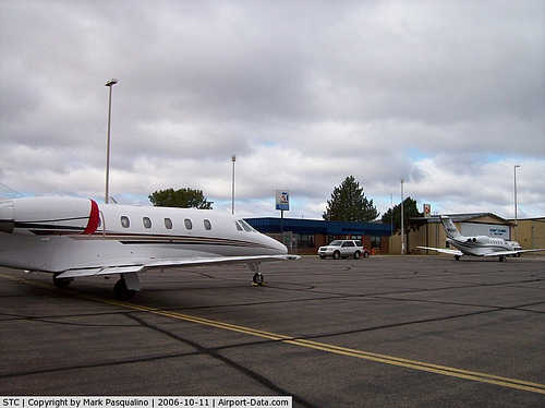
St Cloud Regional Airport |
| St. Cloud Regional Airport |
| IATA: STC – ICAO: KSTC |
| Summary |
| Airport type |
Public |
| Operator |
City of St. Cloud |
| Location |
St. Cloud, Minnesota |
| Elevation AMSL |
1,031 ft / 314.2 m |
| Coordinates |
45°32′48″N 94°03′36″W / 45.54667°N 94.06°W / 45.54667; -94.06Coordinates: 45°32′48″N 94°03′36″W / 45.54667°N 94.06°W / 45.54667; -94.06 |
| Runways |
| Direction |
Length |
Surface |
| ft |
m |
| 13/31 |
7,000 |
2,134 |
Concrete |
| 5/23 |
3,000 |
914 |
Asphalt |
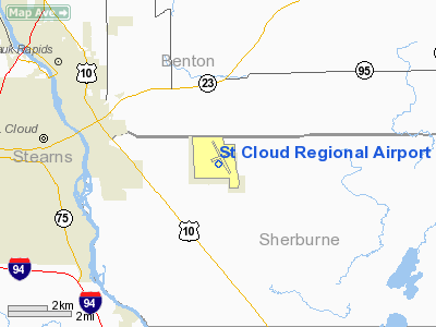
St. Cloud Regional Airport (IATA: STC, ICAO: KSTC) is a public airport located four miles (6 km) east of the central business district of St. Cloud, a city in Stearns County, Minnesota, United States.
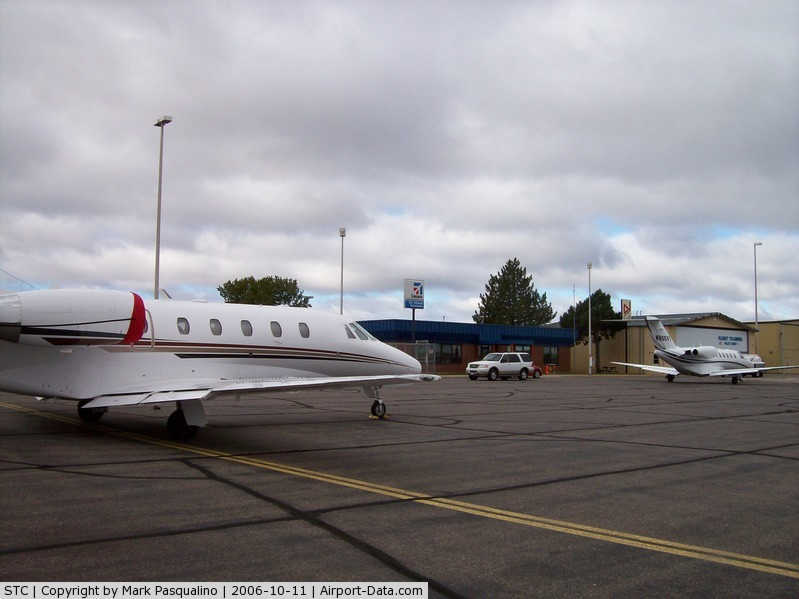
The airport covers 1,414 acres (572 ha) and has two runways. It is owned and operated by the City of St. Cloud and serves private, commercial, corporate, cargo and military operations. Approximately 100 aircraft are based at the field with over 200 aircraft operations averaged daily. It is mostly used for general aviation. Mesaba Airlines, operating flights for Delta Connection ended service to Minneapolis/St. Paul on December 31, 2009.
Airlines and destinations
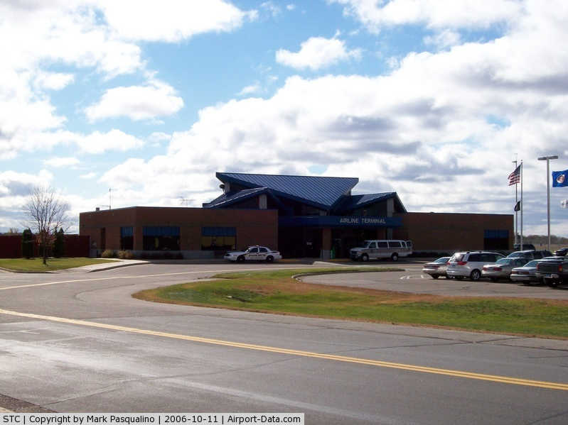
Currently, there are no scheduled passenger service at St. Cloud Regional Airport. However, Sun Country Airlines provides seasonal charter flights to Las Vegas.
The above content comes from Wikipedia and is published under free licenses – click here to read more.
|
 |
(Click on the photo to enlarge) |
|
 |
(Click on the photo to enlarge) |
|
 |
(Click on the photo to enlarge) |
Location & QuickFacts
| FAA Information Effective: | 2008-09-25 |
| Airport Identifier: | STC |
| Airport Status: | Operational |
| Longitude/Latitude: | 094-03-35.6000W/45-32-47.6000N
-94.059889/45.546556 (Estimated) |
| Elevation: | 1031 ft / 314.25 m (Estimated) |
| Land: | 1414 acres |
| From nearest city: | 4 nautical miles E of St Cloud, MN |
| Location: | Sherburne County, MN |
| Magnetic Variation: | 03E (1995) |
Owner & Manager
| Ownership: | Publicly owned |
| Owner: | City Of St Cloud |
| Address: | 1550 45th Ave Se Suite 1
St Cloud, MN 56304-9535 |
| Phone number: | 320-255-7292 |
| Manager: | Bill P. Towle |
| Address: | 1550 45th Ave Se Suite 1
St Cloud, MN 56304-9535 |
| Phone number: | 320-255-7292 |
Airport Operations and Facilities
| Airport Use: | Open to public |
| Wind indicator: | Yes |
| Segmented Circle: | Yes |
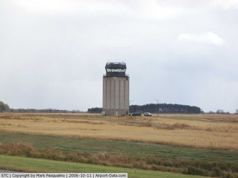
| Control Tower: | Yes |
| Lighting Schedule: | DUSK-DAWN
HIRL RYS 13/31 & MIRL RY 05/23 PRESET ON LOW INTST; TO INCR INTST & ACTVT PAPI RYS 13 & 31; MALSR RY 13 & 31 - CTAF. |
| Beacon Color: | Clear-Green (lighted land airport) |
| Landing fee charge: | No |
| Sectional chart: | Twin Cities |
| Region: | AGL - Great Lakes |
| Traffic Pattern Alt: | 800 ft |
| Boundary ARTCC: | ZMP - Minneapolis |
| Tie-in FSS: | PNM - Princeton |
| FSS on Airport: | No |
| FSS Toll Free: | 1-800-WX-BRIEF |
| NOTAMs Facility: | STC (NOTAM-d service avaliable) |
| Certification type/date: | I A S 11/1975
24 HRS PPR FOR UNSKED ACR OPNS WITH MORE THAN 30 PSGR SEATS CALL AMGR 320-255-3251. |
| Federal Agreements: | NGY |
Airport Communications
Airport Services
| Fuel available: | 100LLA |
| Airframe Repair: | MAJOR |
| Power Plant Repair: | MAJOR |
| Bottled Oxygen: | NONE |
| Bulk Oxygen: | HIGH |
Runway Information
Runway 05/23
| Dimension: | 3000 x 75 ft / 914.4 x 22.9 m |
| Surface: | ASPH, Fair Condition |
| Surface Treatment: | Porous Friction Course |
| Weight Limit: | Single wheel: 50000 lbs.
Dual wheel: 75000 lbs. |
| Edge Lights: | Medium |
| |
Runway 05 |
Runway 23 |
| Longitude: | 094-03-53.9454W | 094-03-17.7196W |
| Latitude: | 45-32-36.0119N | 45-32-51.1435N |
| Elevation: | 1021.00 ft | 1022.00 ft |
| Alignment: | 59 | 127 |
| Traffic Pattern: | Left | Left |
| Markings: | Basic, Good Condition | Basic, Good Condition |
| Obstruction: | 55 ft tree, 1901.0 ft from runway, 224 ft right of centerline, 30:1 slope to clear | 59 ft trees, 1926.0 ft from runway, 393 ft left of centerline, 29:1 slope to clear |
|
Runway 13/31
| Dimension: | 7000 x 150 ft / 2133.6 x 45.7 m |
| Surface: | CONC, Good Condition |
| Surface Treatment: | Saw-cut or plastic Grooved |
| Weight Limit: | Single wheel: 75000 lbs.
Dual wheel: 175000 lbs.
Dual tandem wheel: 280000 lbs. |
| Edge Lights: | High |
| |
Runway 13 |
Runway 31 |
| Longitude: | 094-04-09.6123W | 094-03-01.2865W |
| Latitude: | 45-33-14.1778N | 45-32-24.4652N |
| Elevation: | 1030.00 ft | 1016.00 ft |
| Alignment: | 127 | 127 |
| ILS Type: | ILS
| ILS
|
| Traffic Pattern: | Left | Left |
| Markings: | Precision instrument, Good Condition | Precision instrument, Good Condition |
| Crossing Height: | 50.00 ft | 50.00 ft |
| VASI: | 4-light PAPI on right side | 4-light PAPI on left side |
| Approach lights: | MALSR | MALSR |
| Runway End Identifier: | No | |
|
Radio Navigation Aids
| ID |
Type |
Name |
Ch |
Freq |
Var |
Dist |
| PNM | NDB | Princeton | | 368.00 | 03E | 19.1 nm |
| LXL | NDB | Little Falls | | 359.00 | 03E | 27.0 nm |
| CBG | NDB | Cambridge | | 350.00 | 03E | 33.6 nm |
| XCR | NDB | Ripley | | 404.00 | 03E | 34.1 nm |
| JMR | NDB | Mora | | 327.00 | 03E | 39.1 nm |
| HCD | NDB | Hutchinson | | 209.00 | 04E | 43.7 nm |
| GYL | NDB | Glencoe | | 407.00 | 03E | 47.2 nm |
| ROS | NDB | Rush City | | 282.00 | 02E | 47.3 nm |
| RYM | TACAN | Camp Ripley | 048X | | 03E | 35.0 nm |
| STC | VOR/DME | St Cloud | 058X | 112.10 | 03E | 0.2 nm |
| DWN | VORTAC | Darwin | 027X | 109.00 | 07E | 32.2 nm |
| GEP | VORTAC | Gopher | 120X | 117.30 | 06E | 37.7 nm |
| BRD | VORTAC | Brainerd | 116X | 116.90 | 03E | 48.2 nm |
Remarks
- RY 31 CALM WIND RY.
- DEER, MIGRATORY WATERFOWL, AND OTHER WILDLIFE ON & INVOF ARPT.
- FLIGHT TRAINING ON & INVOF ARPT.
- CROP DUSTING OPERATIONS ON AND IN VICINITY OF AIRPORT DURING SUMMER MONTHS.
- HELIPAD NOT VISIBLE FROM ATCT AND APPROACH SURFACES.
- LINE OF SIGHT VISIBILITY IS RESTRICTED FROM THE 13 & 23 APPROACH AND RUNWAY 13 & 5 APPROACH
Images and information placed above are from
http://www.airport-data.com/airport/STC/
We thank them for the data!
| General Info
|
| Country |
United States
|
| State |
MINNESOTA
|
| FAA ID |
STC
|
| Latitude |
45-32-47.598N
|
| Longitude |
094-03-35.560W
|
| Elevation |
1030 feet
|
| Near City |
ST CLOUD
|
We don't guarantee the information is fresh and accurate. The data may
be wrong or outdated.
For more up-to-date information please refer to other sources.
|
|