|
|
South St Paul Muni - Richard E Fleming Fld Airport |
Coordinates: 44°51′26″N 093°01′58″W / 44.85722°N 93.03278°W / 44.85722; -93.03278
South St. Paul Municipal Airport
Richard E. Fleming Field |
 |
| IATA: none – ICAO: KSGS – FAA LID: SGS |
| Summary |
| Airport type |
Public |
| Owner |
City of South St. Paul |
| Serves |
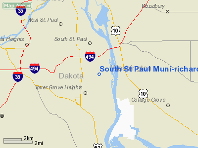
South St. Paul, Minnesota |
| Elevation AMSL |
820 ft / 250 m |
| Website |
www.flemingfield.com |
| Runways |
| Direction |
Length |
Surface |
| ft |
m |
| 16/34 |
4,001 |
1,220 |
Asphalt |
| Statistics (2006) |
| Aircraft operations |
51,000 |
| Based aircraft |
217 |
| Source: Federal Aviation Administration |
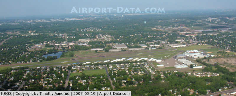
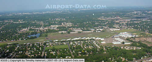
South St. Paul Municipal Airport (ICAO: KSGS, FAA LID: SGS), also known as Richard E. Fleming Field or simply Fleming Field, is a city-owned public-use airport located two miles (3 km) south of the central business district of South St. Paul, a city in Dakota County, Minnesota, United States. It is named for Richard Fleming, a United States Marine Corps Naval Aviator during World War II who was posthumously awarded a Medal of Honor.
Although most U.S. airports use the same three-letter location identifier for the FAA and IATA, South St. Paul Municipal Airport is assigned SGS by the FAA but has no designation from the IATA (which assigned SGS to Sanga-Sanga Airport in Bongao, Philippines).
Facilities and aircraft
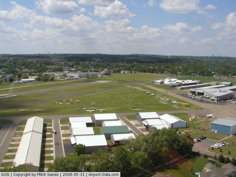
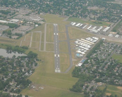
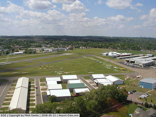
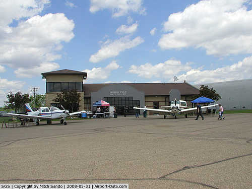
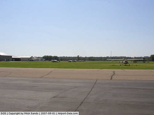
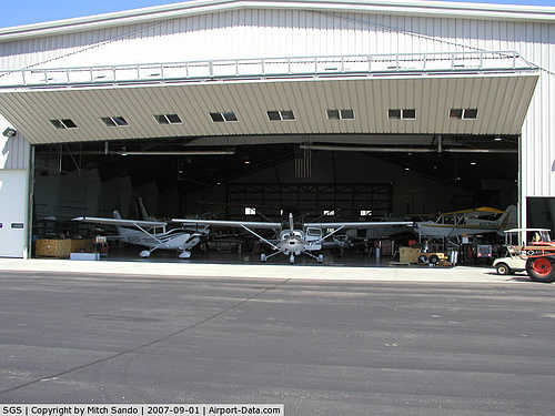
South St. Paul Municipal-Richard E. Fleming Field covers an area of 270 acres (109 ha) and contains one asphalt paved runway designated 16/34 which measures 4,001 x 100 ft (1,220 x 30 m). For the 12-month period ending July 31, 2006, the airport had 51,000 general aviation aircraft operations, an average of 139 per day. There are 217 aircraft based at this airport: 97% single-engine and 3% multi-engine.
The above content comes from Wikipedia and is published under free licenses – click here to read more.
|
 |
(Click on the photo to enlarge) |
|
 |
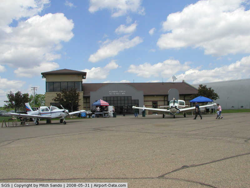
(Click on the photo to enlarge) |
|
 |
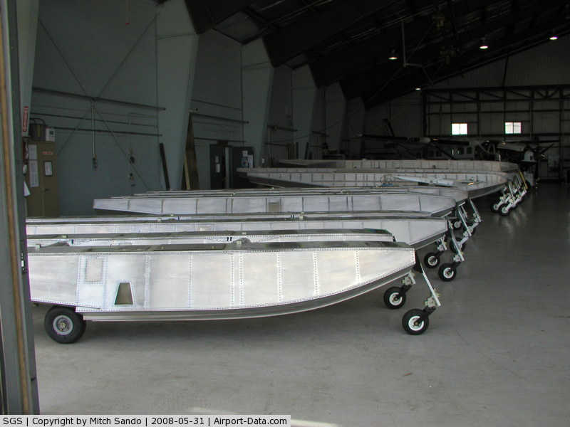
(Click on the photo to enlarge) |
|
 |
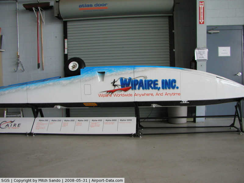
(Click on the photo to enlarge) |
|
 |
(Click on the photo to enlarge) |
|
 |
(Click on the photo to enlarge) |
|
 |
(Click on the photo to enlarge) |
|
 |
(Click on the photo to enlarge) |
|
 |
(Click on the photo to enlarge) |
Location & QuickFacts
| FAA Information Effective: | 2008-09-25 |
| Airport Identifier: | SGS |
| Airport Status: | Operational |
| Longitude/Latitude: | 093-01-58.2740W/44-51-25.6780N
-93.032854/44.857133 (Estimated) |
| Elevation: | 820 ft / 249.94 m (Surveyed) |
| Land: | 270 acres |
| From nearest city: | 2 nautical miles S of South St Paul, MN |
| Location: | Dakota County, MN |
| Magnetic Variation: | 03E (1985) |
Owner & Manager
| Ownership: | Publicly owned |
| Owner: | City Of South St. Paul |
| Address: | 125 3rd Ave N
South St Paul, MN 55075 |
| Phone number: | 651-450-3200 |
| Manager: | Glenn Burke |
| Address: | 1725 Henry Ave
South St Paul, MN 55075 |
| Phone number: | 651-554-3350 |
Airport Operations and Facilities
| Airport Use: | Open to public |
| Wind indicator: | Yes |
| Segmented Circle: | Yes |
| Control Tower: | No |
| Lighting Schedule: | DUSK-DAWN
MIRL RY 16/34 PRESET LOW INTST; TO INCR INTST ACTVT - CTAF. |
| Beacon Color: | Clear-Green (lighted land airport) |
| Landing fee charge: | No |
| Sectional chart: | Twin Cities |
| Region: | AGL - Great Lakes |
| Traffic Pattern Alt: | 900 ft |
| Boundary ARTCC: | ZMP - Minneapolis |
| Tie-in FSS: | PNM - Princeton |
| FSS on Airport: | No |
| FSS Toll Free: | 1-800-WX-BRIEF |
| NOTAMs Facility: | SGS (NOTAM-d service avaliable) |
| Federal Agreements: | NGPY |
Airport Communications
| CTAF: | 122.700 |
| Unicom: | 122.700 |
Airport Services
| Fuel available: | 100LL80 A
SELF SERVE FUEL AVBL WITH CREDIT CARD 24 HRS. |
| Airframe Repair: | MAJOR |
| Power Plant Repair: | MINOR |
| Bottled Oxygen: | NONE |
| Bulk Oxygen: | NONE |
Runway Information
Runway 16/34
| Dimension: | 4001 x 100 ft / 1219.5 x 30.5 m |
| Surface: | ASPH, Good Condition |
| Weight Limit: | Single wheel: 30000 lbs.
Dual wheel: 57000 lbs. |
| Edge Lights: | Medium |
| |
Runway 16 |
Runway 34 |
| Longitude: | 093-02-06.6500W | 093-01-49.8830W |
| Latitude: | 44-51-44.5120N | 44-51-06.8500N |
| Elevation: | 820.00 ft | 818.00 ft |
| Alignment: | 127 | 127 |
| ILS Type: | | LOC/DME
|
| Traffic Pattern: | Left | Left |
| Markings: | Non-precision instrument, Good Condition | Non-precision instrument, Good Condition |
| Crossing Height: | 40.00 ft | 40.00 ft |
| VASI: | 4-light PAPI on left side | 4-light PAPI on left side |
| Visual Glide Angle: | 3.00° | 3.00° |
| Obstruction: | 66 ft trees, 1300.0 ft from runway, 70 ft right of centerline, 16:1 slope to clear | 63 ft trees, 800.0 ft from runway, 250 ft right of centerline, 9:1 slope to clear |
|
Radio Navigation Aids
| ID |
Type |
Name |
Ch |
Freq |
Var |
Dist |
| MS | NDB | Narco | | 266.00 | 02E | 3.1 nm |
| PPI | NDB | Hopey | | 400.00 | 03E | 4.0 nm |
| RNH | NDB | New Richmond | | 257.00 | 02E | 27.5 nm |
| OEO | NDB | Osceola | | 233.00 | 01E | 30.9 nm |
| AHH | NDB | Ameron | | 278.00 | 01E | 37.9 nm |
| CBG | NDB | Cambridge | | 350.00 | 03E | 43.2 nm |
| GYL | NDB | Glencoe | | 407.00 | 03E | 45.3 nm |
| PNM | NDB | Princeton | | 368.00 | 03E | 49.0 nm |
| MSP | VOR/DME | Minneapolis | 100X | 115.30 | 02E | 9.0 nm |
| FCM | VOR/DME | Flying Cloud | 055X | 111.80 | 06E | 18.2 nm |
| FOW | VOR/DME | Halfway | 049X | 111.20 | 02E | 41.8 nm |
| FGT | VORTAC | Farmington | 104X | 115.70 | 06E | 15.0 nm |
| GEP | VORTAC | Gopher | 120X | 117.30 | 06E | 22.6 nm |
| STP | VOT | St Paul | | 114.40 | | 5.2 nm |
| MSP | VOT | Minneapolis St Paul | | 111.00 | | 7.9 nm |
Remarks
- EXTDD TFC PATTERN OPNS N OF ARPT MAY CONFLICT WITH ST PAUL DOWNTOWN ARPT CTLD ASP; CTC STP ATCT 119.1.
- FREQUENT HEL OPNS OVR MISSISSIPPI RIVER E OF ARPT BLO 2200 FT MSL.
- WATERFOWL ON & INVOF ARPT.
Images and information placed above are from
http://www.airport-data.com/airport/SGS/
We thank them for the data!
| General Info
|
| Country |
United States
|
| State |
MINNESOTA
|
| FAA ID |
SGS
|
| Latitude |
44-51-25.678N
|
| Longitude |
093-01-58.274W
|
| Elevation |
820 feet
|
| Near City |
SOUTH ST PAUL
|
We don't guarantee the information is fresh and accurate. The data may
be wrong or outdated.
For more up-to-date information please refer to other sources.
|
|