|
|
Silver Bay Municipal Airport |
|
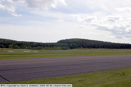 |
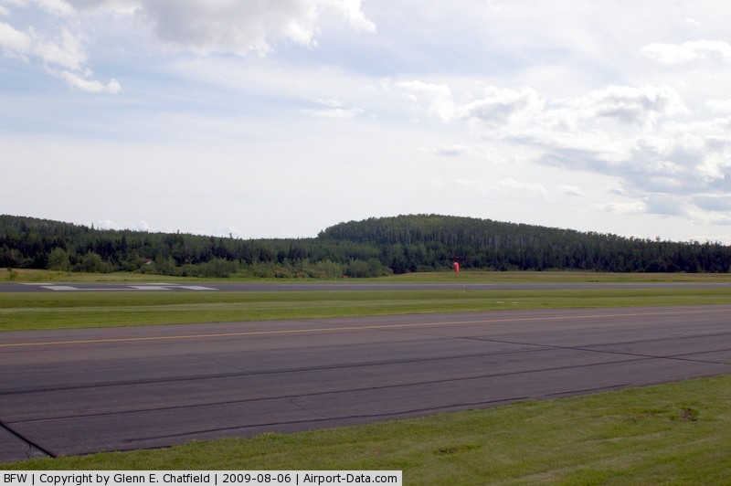
(Click on the photo to enlarge) |
|
 |
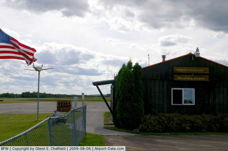
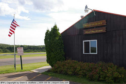
(Click on the photo to enlarge) |
|
 |
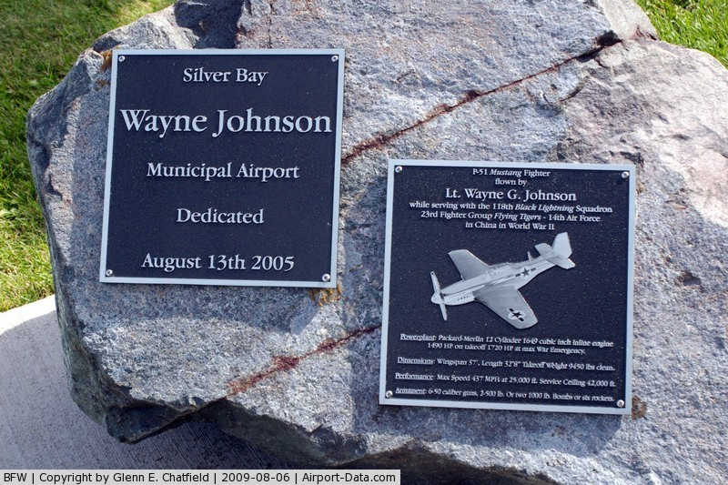
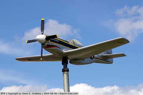
(Click on the photo to enlarge) |
|
 |
(Click on the photo to enlarge) |
|
 |
(Click on the photo to enlarge) |
Location & QuickFacts
| FAA Information Effective: | 2008-09-25 |
| Airport Identifier: | BFW |
| Airport Status: | Operational |
| Longitude/Latitude: | 091-24-56.1000W/47-14-56.5000N
-91.415583/47.249028 (Estimated) |
| Elevation: | 1089 ft / 331.93 m (Surveyed) |
| Land: | 160 acres |
| From nearest city: | 7 nautical miles SW of Silver Bay, MN |
| Location: | Lake County, MN |
| Magnetic Variation: | 00E (1995) |
Owner & Manager
| Ownership: | Publicly owned |
| Owner: | City Of Silver Bay |
| Address: | 7 Davis Drive
Silver Bay, MN 55614 |
| Phone number: | 218-226-4408 |
| Manager: | James Tarlton |
| Address: | 5732 Lax Lake Road
Silver Bay, MN 55614 |
| Phone number: | 218-353-7372 |
Airport Operations and Facilities
| Airport Use: | Open to public |
| Wind indicator: | Yes |
| Segmented Circle: | No |
| Control Tower: | No |
| Lighting Schedule: | DUSK-DAWN
ACTVT MIRL RY 07/25, REIL RY 07 & 25 AND PAPI RY 07 & 25 - CTAF. |
| Beacon Color: | Clear-Green (lighted land airport) |
| Landing fee charge: | No |
| Sectional chart: | Green Bay |
| Region: | AGL - Great Lakes |
| Boundary ARTCC: | ZMP - Minneapolis |
| Tie-in FSS: | PNM - Princeton |
| FSS on Airport: | No |
| FSS Toll Free: | 1-800-WX-BRIEF |
| NOTAMs Facility: | BFW (NOTAM-d service avaliable) |
| Federal Agreements: | NGY |
Airport Communications
Airport Services
| Fuel available: | 100LL
SELF SERVE FUEL AVAIL 24 HRS. |
| Airframe Repair: | NONE |
| Power Plant Repair: | NONE |
| Bottled Oxygen: | NONE |
| Bulk Oxygen: | NONE |
Runway Information
Runway 07/25
| Dimension: | 3200 x 75 ft / 975.4 x 22.9 m |
| Surface: | ASPH, Good Condition |
| Weight Limit: | Single wheel: 26000 lbs. |
| Edge Lights: | Medium |
| |
Runway 07 |
Runway 25 |
| Longitude: | 091-25-17.9600W | 091-24-33.7300W |
| Latitude: | 47-14-51.5400N | 47-15-01.1100N |
| Elevation: | 1089.00 ft | 1083.00 ft |
| Alignment: | 72 | 127 |
| Traffic Pattern: | Left | Left |
| Markings: | Non-precision instrument, Good Condition | Non-precision instrument, Good Condition |
| VASI: | 4-light PAPI on left side | 4-light PAPI on left side |
| Runway End Identifier: | Yes | Yes |
| Centerline Lights: | | No |
| Touchdown Lights: | | No |
| Obstruction: | 15 ft trees, 201.0 ft from runway, 210 ft left of centerline
RY 07 +15 FT TREES, 150-200 FT FM RY END, 210 FT L. | , 50:1 slope to clear |
|
Radio Navigation Aids
| ID |
Type |
Name |
Ch |
Freq |
Var |
Dist |
| BFW | NDB | Silver Bay | | 350.00 | 00E | 0.1 nm |
| TWM | NDB | Two Harbors | | 243.00 | 01E | 17.9 nm |
| SUW | NDB | Bong | | 260.00 | 01E | 43.8 nm |
| DL | NDB | Pykla | | 379.00 | 02E | 45.5 nm |
| ENY | NDB | Kennedy | | 254.00 | 02E | 46.6 nm |
| LKI | TACAN | Lakeside | 011X | | 05E | 39.8 nm |
| ELO | VOR/DME | Ely | 033X | 109.60 | 00E | 38.3 nm |
| EVM | VOR/DME | Eveleth | 019X | 108.20 | 01E | 45.3 nm |
| ASX | VOR/DME | Ashland | 039X | 110.20 | 02E | 46.8 nm |
| DLH | VORTAC | Duluth | 073X | 112.60 | 05E | 42.0 nm |
Remarks
- ULTRALIGHT TRAFFIC ON & INVOF ARPT.
- CAUTION DEER AND WILDLIFE ON & INVOF ARPT.
Images and information placed above are from
http://www.airport-data.com/airport/BFW/
We thank them for the data!
| General Info
|
| Country |
United States
|
| State |
MINNESOTA
|
| FAA ID |
BFW
|
| Latitude |
47-14-56.500N
|
| Longitude |
091-24-56.100W
|
| Elevation |
1089 feet
|
| Near City |
SILVER BAY
|
We don't guarantee the information is fresh and accurate. The data may
be wrong or outdated.
For more up-to-date information please refer to other sources.
|
|