 |
|
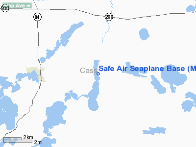
Location & QuickFacts
| FAA Information Effective: | 2008-09-25 |
| Airport Identifier: | MY83 |
| Airport Status: | Operational |
| Longitude/Latitude: | 094-07-27.8910W/46-59-11.8390N
-94.124414/46.986622 (Estimated) |
| Elevation: | 1306 ft / 398.07 m (Estimated) |
| Land: | 0 acres |
| From nearest city: | 3 nautical miles E of Longville, MN |
| Location: | Cass County, MN |
| Magnetic Variation: | 04E (1985) |
Owner & Manager
| Ownership: | Privately owned |
| Owner: | John Roscoe |
| Address: | 5077 Ingua Trail N.e.
Remer, MN 56672 |
| Phone number: | 218-566-1531 |
| Address: |
|
| Phone number: | 218-566-1531 |
Airport Operations and Facilities
| Airport Use: | Private |
| Segmented Circle: | No |
| Control Tower: | No |
| Landing fee charge: | No |
| Sectional chart: | Twin Cities |
| Region: | AGL - Great Lakes |
| Boundary ARTCC: | ZMP - Minneapolis |
| Tie-in FSS: | PNM - Princeton |
| FSS on Airport: | No |
| FSS Toll Free: | 1-800-WX-BRIEF |
Runway Information
Runway 09/27
| Dimension: | 3500 x 900 ft / 1066.8 x 274.3 m |
| Surface: | WATER, |
| |
Runway 09 |
Runway 27 |
| Traffic Pattern: | Left | Left |
|
Runway 17/35
| Dimension: | 7000 x 900 ft / 2133.6 x 274.3 m |
| Surface: | WATER, |
| |
Runway 17 |
Runway 35 |
| Traffic Pattern: | Left | Left |
|
Radio Navigation Aids
| ID |
Type |
Name |
Ch |
Freq |
Var |
Dist |
| XVG | NDB | Longville | | 392.00 | 04E | 3.4 nm |
| PWC | NDB | Pine River | | 330.00 | 03E | 18.9 nm |
| AIT | NDB | Aitkin | | 397.00 | 03E | 32.2 nm |
| PK | NDB | Spida | | 269.00 | 04E | 36.1 nm |
| SAZ | NDB | Staples | | 257.00 | 04E | 45.9 nm |
| GPZ | VOR/DME | Grand Rapids | 051X | 111.40 | 06E | 28.1 nm |
| PKD | VOR/DME | Park Rapids | 043X | 110.60 | 04E | 39.2 nm |
| BRD | VORTAC | Brainerd | 116X | 116.90 | 03E | 38.6 nm |
Remarks
- PROVIDED A MINIMUM 20:1 APPROACHCLEARANCE IS MAINTAINED.
Images and information placed above are from
http://www.airport-data.com/airport/MY83/
We thank them for the data!
| General Info
|
| Country |
United States
|
| State |
MINNESOTA
|
| FAA ID |
MY83
|
| Latitude |
46-59-11.839N
|
| Longitude |
094-07-27.891W
|
| Elevation |
1306 feet
|
| Near City |
LONGVILLE
|
We don't guarantee the information is fresh and accurate. The data may
be wrong or outdated.
For more up-to-date information please refer to other sources.
|
|


