|
|
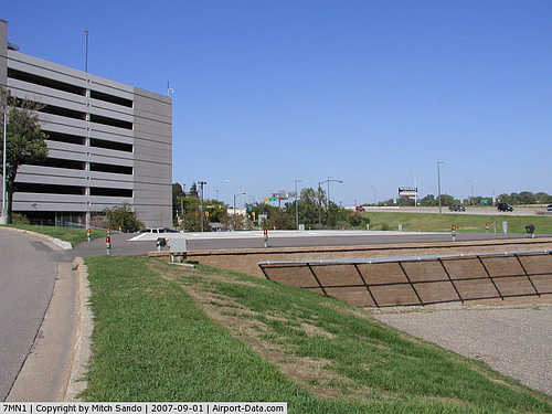
Regions Hospital Heliport |
|
 |
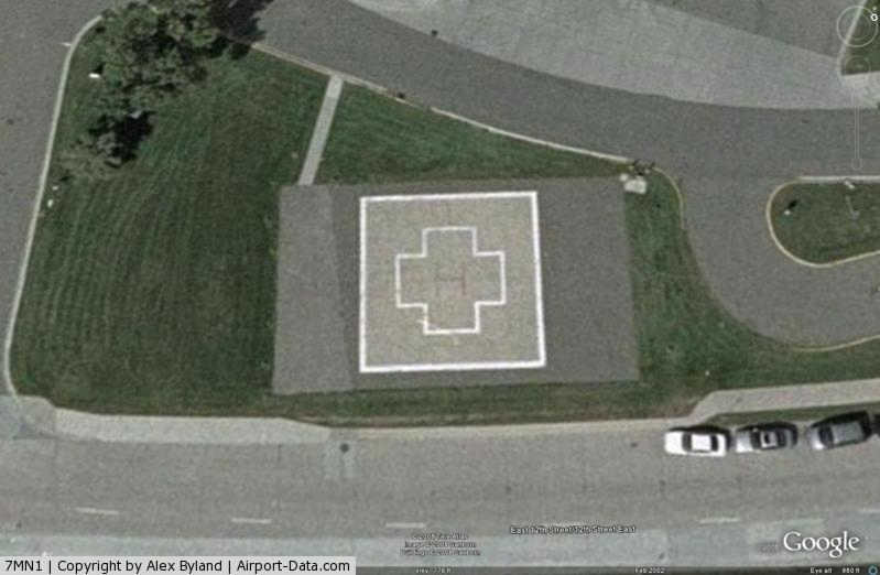
(Click on the photo to enlarge) |
|
 |
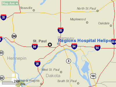
(Click on the photo to enlarge) |
|
 |
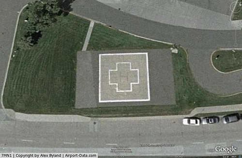
(Click on the photo to enlarge) |
Location & QuickFacts
| FAA Information Effective: | 2008-09-25 |
| Airport Identifier: | 7MN1 |
| Airport Status: | Operational |
| Longitude/Latitude: | 093-05-40.7870W/44-57-24.8760N
-93.094663/44.956910 (Estimated) |
| Elevation: | 780 ft / 237.74 m (Estimated) |
| Land: | 0 acres |
| From nearest city: | 0 nautical miles N of St Paul, MN |
| Location: | Ramsey County, MN |
| Magnetic Variation: | 03E (1985) |
Owner & Manager
| Ownership: | Publicly owned |
| Owner: | Regions Hospital |
| Address: | 640 Jackson St
St Paul, MN 55101 |
| Phone number: | 651-254-3456 |
| Manager: | Rick Huston |
| Address: | 640 Jackson St
St Paul, MN 55101 |
| Phone number: | 651-254-3456 |
Airport Operations and Facilities
| Airport Use: | Private
MEDICAL USE. |
| Wind indicator: | No |
| Segmented Circle: | No |
| Control Tower: | No |
| Lighting Schedule: | DUSK-DAWN |
| Beacon Color: | Clear-Green-Yellow (heliport) |
| Landing fee charge: | No |
| Sectional chart: | Twin Cities |
| Region: | AGL - Great Lakes |
| Boundary ARTCC: | ZMP - Minneapolis |
| Tie-in FSS: | PNM - Princeton |
| FSS on Airport: | No |
| FSS Toll Free: | 1-800-WX-BRIEF |
Runway Information
Helipad H1
| Dimension: | 40 x 50 ft / 12.2 x 15.2 m |
| Surface: | ASPH-CONC, |
| Edge Lights: | Low
PERIMETER LGTS. |
| |
Runway H1 |
Runway |
| Traffic Pattern: | Left | Left |
|
Radio Navigation Aids
| ID |
Type |
Name |
Ch |
Freq |
Var |
Dist |
| MS | NDB | Narco | | 266.00 | 02E | 7.9 nm |
| PPI | NDB | Hopey | | 400.00 | 03E | 8.2 nm |
| RNH | NDB | New Richmond | | 257.00 | 02E | 26.4 nm |
| OEO | NDB | Osceola | | 233.00 | 01E | 27.4 nm |
| AHH | NDB | Ameron | | 278.00 | 01E | 36.4 nm |
| CBG | NDB | Cambridge | | 350.00 | 03E | 36.8 nm |
| PNM | NDB | Princeton | | 368.00 | 03E | 42.5 nm |
| GYL | NDB | Glencoe | | 407.00 | 03E | 43.8 nm |
| ROS | NDB | Rush City | | 282.00 | 02E | 44.9 nm |
| MSP | VOR/DME | Minneapolis | 100X | 115.30 | 02E | 7.0 nm |
| FCM | VOR/DME | Flying Cloud | 055X | 111.80 | 06E | 17.3 nm |
| FOW | VOR/DME | Halfway | 049X | 111.20 | 02E | 46.7 nm |
| GEP | VORTAC | Gopher | 120X | 117.30 | 06E | 16.4 nm |
| FGT | VORTAC | Farmington | 104X | 115.70 | 06E | 19.9 nm |
| STP | VOT | St Paul | | 114.40 | | 1.8 nm |
| MSP | VOT | Minneapolis St Paul | | 111.00 | | 6.7 nm |
Images and information placed above are from
http://www.airport-data.com/airport/7MN1/
We thank them for the data!
| General Info
|
| Country |
United States
|
| State |
MINNESOTA
|
| FAA ID |
7MN1
|
| Latitude |
44-57-24.876N
|
| Longitude |
093-05-40.787W
|
| Elevation |
780 feet
|
| Near City |
ST PAUL
|
We don't guarantee the information is fresh and accurate. The data may
be wrong or outdated.
For more up-to-date information please refer to other sources.
|
|