 |
|
Location & QuickFacts
| FAA Information Effective: | 2008-09-25 |
| Airport Identifier: | MN28 |
| Airport Status: | Operational |
| Longitude/Latitude: | 094-44-52.9870W/44-58-58.8630N
-94.748052/44.983018 (Estimated) |
| Elevation: | 1120 ft / 341.38 m (Estimated) |
| Land: | 0 acres |
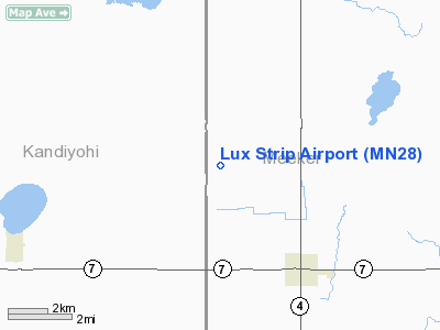
| From nearest city: | 3 nautical miles NW of Cosmos, MN |
| Location: | Meeker County, MN |
| Magnetic Variation: | 04E (1985) |
Owner & Manager
| Ownership: | Privately owned |
| Owner: | David Lux |
| Address: | 50846 160th St
Cosmos, MN 56228 |
| Phone number: | 612-877-7498 |
| Manager: | David Lux |
| Address: | 50846 160th St
Cosmos, MN 56228 |
| Phone number: | 612-877-7498 |
Airport Operations and Facilities
| Airport Use: | Private |
| Wind indicator: | Yes |
| Segmented Circle: | No |
| Control Tower: | No |
| Landing fee charge: | No |
| Sectional chart: | Twin Cities |
| Region: | AGL - Great Lakes |
| Boundary ARTCC: | ZMP - Minneapolis |
| Tie-in FSS: | PNM - Princeton |
| FSS on Airport: | No |
| FSS Toll Free: | 1-800-WX-BRIEF |
Runway Information
Runway 18/36
| Dimension: | 2550 x 90 ft / 777.2 x 27.4 m |
| Surface: | TURF, |
| |
Runway 18 |
Runway 36 |
| Traffic Pattern: | Left | Left |
|
Radio Navigation Aids
| ID |
Type |
Name |
Ch |
Freq |
Var |
Dist |
| HCD | NDB | Hutchinson | | 209.00 | 04E | 17.3 nm |
| GYL | NDB | Glencoe | | 407.00 | 03E | 31.2 nm |
| BBB | NDB | Benson | | 239.00 | 05E | 43.5 nm |
| GHW | NDB | Glenwood | | 346.00 | 03E | 46.5 nm |
| ULM | NDB/DME | New Ulm | 050X | 272.00 | 04E | 41.4 nm |
| ILL | VOR/DME | Willmar | 084X | 113.70 | 04E | 16.6 nm |
| BDH | VOR/DME | Willmar | 84X | 113.70 | 04E | 18.0 nm |
| RWF | VOR/DME | Redwood Falls | 080X | 113.30 | 07E | 35.0 nm |
| MVE | VOR/DME | Montevideo | 053X | 111.60 | 05E | 41.0 nm |
| STC | VOR/DME | St Cloud | 058X | 112.10 | 03E | 44.8 nm |
| DWN | VORTAC | Darwin | 027X | 109.00 | 07E | 14.0 nm |
Remarks
- PRIVATE USE; VFR OPNS ONLY.
Images and information placed above are from
http://www.airport-data.com/airport/MN28/
We thank them for the data!
| General Info
|
| Country |
United States
|
| State |
MINNESOTA
|
| FAA ID |
MN28
|
| Latitude |
44-58-58.863N
|
| Longitude |
094-44-52.987W
|
| Elevation |
1120 feet
|
| Near City |
COSMOS
|
We don't guarantee the information is fresh and accurate. The data may
be wrong or outdated.
For more up-to-date information please refer to other sources.
|
|


