 |
|
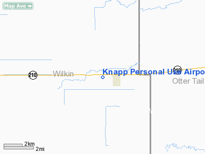
Knapp Personal Use Airport |
Location & QuickFacts
| FAA Information Effective: | 2008-09-25 |
| Airport Identifier: | MY25 |
| Airport Status: | Operational |
| Longitude/Latitude: | 096-19-53.2370W/46-16-47.8540N
-96.331455/46.279959 (Estimated) |
| Elevation: | 1018 ft / 310.29 m (Estimated) |
| Land: | 0 acres |
| From nearest city: | 1 nautical miles W of Foxhome, MN |
| Location: | Wilkin County, MN |
| Magnetic Variation: | 06E (1985) |
Owner & Manager
| Ownership: | Privately owned |
| Owner: | C. Gordon Knapp |
| Address: | Rr 1
Foxhome, MN 56543 |
| Phone number: | 218-739-3366 |
| Manager: | C. Gordon Knapp |
| Address: | Rr 1
Foxhome, MN 56543 |
| Phone number: | 218-739-3366 |
Airport Operations and Facilities
| Airport Use: | Private
PERSONAL USE. |
| Wind indicator: | No |
| Segmented Circle: | No |
| Control Tower: | No |
| Landing fee charge: | No |
| Sectional chart: | Twin Cities |
| Region: | AGL - Great Lakes |
| Boundary ARTCC: | ZMP - Minneapolis |
| Tie-in FSS: | PNM - Princeton |
| FSS on Airport: | No |
| FSS Toll Free: | 1-800-WX-BRIEF |
Runway Information
Runway 14/32
| Dimension: | 1940 x 150 ft / 591.3 x 45.7 m |
| Surface: | TURF, |
| |
Runway 14 |
Runway 32 |
| Traffic Pattern: | Left | Left |
|
Radio Navigation Aids
| ID |
Type |
Name |
Ch |
Freq |
Var |
Dist |
| BWP | NDB | Breckenridge-wahpeton | | 233.00 | 05E | 11.5 nm |
| ETH | NDB | Wheaton | | 326.00 | 05E | 31.2 nm |
| AA | NDB | Kenie | | 365.00 | 06E | 48.2 nm |
| FFM | VOR/DME | Fergus Falls | 041X | 110.40 | 05E | 7.3 nm |
| DTL | VOR/DME | Detroit Lakes | 049X | 111.20 | 05E | 37.6 nm |
| MOX | VOR/DME | Morris | 033X | 109.60 | 05E | 45.5 nm |
| AXN | VOR/DME | Alexandria | 075X | 112.80 | 07E | 49.7 nm |
| FAR | VORTAC | Fargo | 109X | 116.20 | 09E | 35.7 nm |
Images and information placed above are from
http://www.airport-data.com/airport/MY25/
We thank them for the data!
| General Info
|
| Country |
United States
|
| State |
MINNESOTA
|
| FAA ID |
MY25
|
| Latitude |
46-16-47.854N
|
| Longitude |
096-19-53.237W
|
| Elevation |
1018 feet
|
| Near City |
FOXHOME
|
We don't guarantee the information is fresh and accurate. The data may
be wrong or outdated.
For more up-to-date information please refer to other sources.
|
|


