 |
|
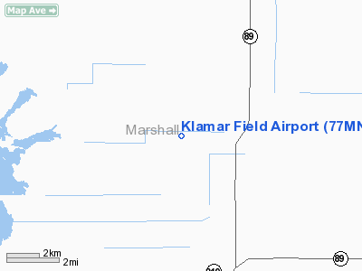
Location & QuickFacts
| FAA Information Effective: | 2008-09-25 |
| Airport Identifier: | 77MN |
| Airport Status: | Operational |
| Longitude/Latitude: | 095-47-17.0130W/48-22-16.8820N
-95.788059/48.371356 (Estimated) |
| Elevation: | 1160 ft / 353.57 m (Estimated) |
| Land: | 0 acres |
| From nearest city: | 3 nautical miles S of Gatzke, MN |
| Location: | Marshall County, MN |
| Magnetic Variation: | 05E (1985) |
Owner & Manager
| Ownership: | Privately owned |
| Owner: | Roland A. Klamar |
| Address: | 32308 340th St Ne
Gatzke, MN 56724 |
| Phone number: | 218-459-3436 |
| Manager: | Roland A. Klamar |
| Address: | 32308 340th St Ne
Gatzke, MN 56724 |
| Phone number: | 218-459-3436 |
Airport Operations and Facilities
| Airport Use: | Private |
| Wind indicator: | Yes |
| Segmented Circle: | No |
| Control Tower: | No |
| Sectional chart: | Twin Cities |
| Region: | AGL - Great Lakes |
| Boundary ARTCC: | ZMP - Minneapolis |
| Tie-in FSS: | PNM - Princeton |
| FSS on Airport: | No |
| FSS Toll Free: | 1-800-WX-BRIEF |
Runway Information
Runway 09/27
| Dimension: | 3600 x 50 ft / 1097.3 x 15.2 m |
| Surface: | TURF, |
| |
Runway 09 |
Runway 27 |
| Traffic Pattern: | Right | Left |
|
Runway 18/36
| Dimension: | 2600 x 50 ft / 792.5 x 15.2 m |
| Surface: | TURF, |
| |
Runway 18 |
Runway 36 |
| Traffic Pattern: | Left | Left |
|
Radio Navigation Aids
| ID |
Type |
Name |
Ch |
Freq |
Var |
Dist |
| PFT | NDB | Piney Pinecreek | | 342.00 | 05E | 38.1 nm |
| CKN | NDB | Crookston | | 400.00 | 07E | 46.1 nm |
| FSE | NDB | Fosston | | 224.00 | 05E | 47.0 nm |
| TVF | VOR/DME | Thief River Falls | 021X | 108.40 | 08E | 24.2 nm |
| ROX | VOR/DME | Roseau | 025X | 108.80 | 05E | 29.3 nm |
Remarks
- ALL TRAFFIC PATTERN OPERATIONS TO BE CONDUCTED TO THE SOUTH OF RWY 09/27. UNICOM CONTACT BE MAINTAINED WITH HAGENS PVT ARPT AND ARTHUR FIELD ARPT DURING TAKEOFF AND LANDING OPERATIONS AT KLAMAR FIELD ARPT.
Images and information placed above are from
http://www.airport-data.com/airport/77MN/
We thank them for the data!
| General Info
|
| Country |
United States
|
| State |
MINNESOTA
|
| FAA ID |
77MN
|
| Latitude |
48-22-16.882N
|
| Longitude |
095-47-17.013W
|
| Elevation |
1160 feet
|
| Near City |
GATZKE
|
We don't guarantee the information is fresh and accurate. The data may
be wrong or outdated.
For more up-to-date information please refer to other sources.
|
|


