 |
|
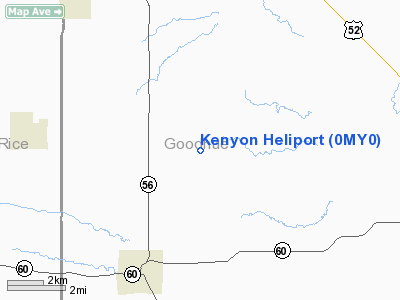
Location & QuickFacts
| FAA Information Effective: | 2008-09-25 |
| Airport Identifier: | 0MY0 |
| Airport Status: | Operational |
| Longitude/Latitude: | 092-56-36.0000W/44-20-02.0000N
-92.943333/44.333889 (Estimated) |
| Elevation: | 1500 ft / 457.20 m (Estimated) |
| Land: | 40 acres |
| From nearest city: | 5 nautical miles SW of Kenyon, MN |
| Location: | Goodhue County, MN |
| Magnetic Variation: | 03E (1990) |
Owner & Manager
| Ownership: | Privately owned |
| Owner: | G. D. Cecil Hutton |
| Address: | Route 3, Box 22
Kenyon, MN 55946 |
| Phone number: | 507-789-6729 |
| Manager: | G. D. Cecil Hutton, Chf Pilot |
| Address: | Route 3, Box 22
Kenyon, MN 55946 |
| Phone number: | 507-789-6729 |
Airport Operations and Facilities
| Airport Use: | Private |
| Wind indicator: | Yes |
| Segmented Circle: | No |
| Control Tower: | No |
| Sectional chart: | Green Bay |
| Region: | AGL - Great Lakes |
| Boundary ARTCC: | ZMP - Minneapolis |
| Tie-in FSS: | PNM - Princeton |
| FSS on Airport: | No |
| FSS Toll Free: | 1-800-WX-BRIEF |
Airport Services
Runway Information
Helipad H1
| Dimension: | 200 x 60 ft / 61.0 x 18.3 m |
| Surface: | GRVL, |
| |
Runway H1 |
Runway |
| Traffic Pattern: | Left | Left |
|
Radio Navigation Aids
| ID |
Type |
Name |
Ch |
Freq |
Var |
Dist |
| MS | NDB | Narco | | 266.00 | 02E | 30.2 nm |
| ACQ | NDB | Waseca | | 371.00 | 02E | 30.7 nm |
| PPI | NDB | Hopey | | 400.00 | 03E | 32.4 nm |
| FOW | VOR/DME | Halfway | 049X | 111.20 | 02E | 20.0 nm |
| MSP | VOR/DME | Minneapolis | 100X | 115.30 | 02E | 36.1 nm |
| RST | VOR/DME | Rochester | 057X | 112.00 | 05E | 36.3 nm |
| FCM | VOR/DME | Flying Cloud | 055X | 111.80 | 06E | 36.8 nm |
| MKT | VOR/DME | Mankato | 045X | 110.80 | 07E | 42.3 nm |
| AEL | VOR/DME | Albert Lea | 035X | 109.80 | 05E | 43.3 nm |
| JAY | VOR/DME | Austin | 019X | 108.20 | 03E | 45.5 nm |
| FGT | VORTAC | Farmington | 104X | 115.70 | 06E | 20.6 nm |
| MSP | VOT | Minneapolis St Paul | | 111.00 | | 35.1 nm |
| STP | VOT | St Paul | | 114.40 | | 36.8 nm |
Remarks
- PRVDD ALL APCH/DEP RTE OPS ARE FROM 070-095 DEG & FROM 260-275 DEG; AREA IS APPROPRIATELY MKD; A WIND INDICATOR IS MNTND.
Images and information placed above are from
http://www.airport-data.com/airport/0MY0/
We thank them for the data!
| General Info
|
| Country |
United States
|
| State |
MINNESOTA
|
| FAA ID |
0MY0
|
| Latitude |
44-20-02.000N
|
| Longitude |
092-56-36.000W
|
| Elevation |
1500 feet
|
| Near City |
KENYON
|
We don't guarantee the information is fresh and accurate. The data may
be wrong or outdated.
For more up-to-date information please refer to other sources.
|
|


