 |
|
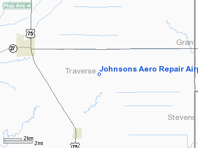
Johnsons Aero Repair Airport |
Location & QuickFacts
| FAA Information Effective: | 2008-09-25 |
| Airport Identifier: | MY68 |
| Airport Status: | Operational |
| Longitude/Latitude: | 096-23-29.2290W/45-46-37.8590N
-96.391452/45.777183 (Estimated) |
| Elevation: | 1028 ft / 313.33 m (Estimated) |
| Land: | 7 acres |
| From nearest city: | 5 nautical miles SE of Wheaton, MN |
| Location: | Traverse County, MN |
| Magnetic Variation: | 06E (1985) |
Owner & Manager
| Ownership: | Privately owned |
| Owner: | Rodney C. Johnson |
| Address: | 7190 630th St.
Wheaton, MN 56296 |
| Phone number: | 320-563-4855 |
| Manager: | Rodney C. Johnson |
| Address: | 7190 630th St.
Wheaton, MN 56296 |
| Phone number: | 630-563-4855 |
Airport Operations and Facilities
| Airport Use: | Private |
| Wind indicator: | Yes |
| Segmented Circle: | No |
| Control Tower: | No |
| Sectional chart: | Twin Cities |
| Region: | AGL - Great Lakes |
| Boundary ARTCC: | ZMP - Minneapolis |
| Tie-in FSS: | PNM - Princeton |
| FSS on Airport: | No |
| FSS Toll Free: | 1-800-WX-BRIEF |
Runway Information
Runway 18/36
| Dimension: | 2200 x 80 ft / 670.6 x 24.4 m |
| Surface: | TURF, |
| |
Runway 18 |
Runway 36 |
| Traffic Pattern: | Left | Left |
|
Radio Navigation Aids
| ID |
Type |
Name |
Ch |
Freq |
Var |
Dist |
| ETH | NDB | Wheaton | | 326.00 | 05E | 6.5 nm |
| VVV | NDB | Ortonville | | 332.00 | 05E | 28.6 nm |
| BWP | NDB | Breckenridge-wahpeton | | 233.00 | 05E | 29.5 nm |
| AQP | NDB | Appleton | | 356.00 | 05E | 36.7 nm |
| BBB | NDB | Benson | | 239.00 | 05E | 41.3 nm |
| EE | NDB | Tamie | | 374.00 | 04E | 45.5 nm |
| GHW | NDB | Glenwood | | 346.00 | 03E | 45.7 nm |
| DXX | NDB | Dawson/madison | | 341.00 | 06E | 48.5 nm |
| MOX | VOR/DME | Morris | 033X | 109.60 | 05E | 21.8 nm |
| FFM | VOR/DME | Fergus Falls | 041X | 110.40 | 05E | 32.3 nm |
| AXN | VOR/DME | Alexandria | 075X | 112.80 | 07E | 49.7 nm |
Remarks
- POWER LINE BURIED.
- PVT USE ONLY.
Images and information placed above are from
http://www.airport-data.com/airport/MY68/
We thank them for the data!
| General Info
|
| Country |
United States
|
| State |
MINNESOTA
|
| FAA ID |
MY68
|
| Latitude |
45-46-37.859N
|
| Longitude |
096-23-29.229W
|
| Elevation |
1028 feet
|
| Near City |
WHEATON
|
We don't guarantee the information is fresh and accurate. The data may
be wrong or outdated.
For more up-to-date information please refer to other sources.
|
|


