|
|
|
 |
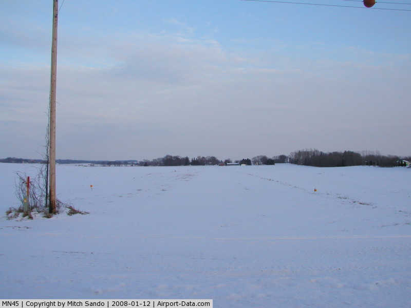
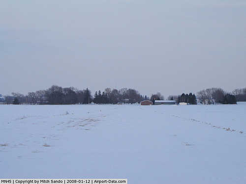
(Click on the photo to enlarge) |
|
 |
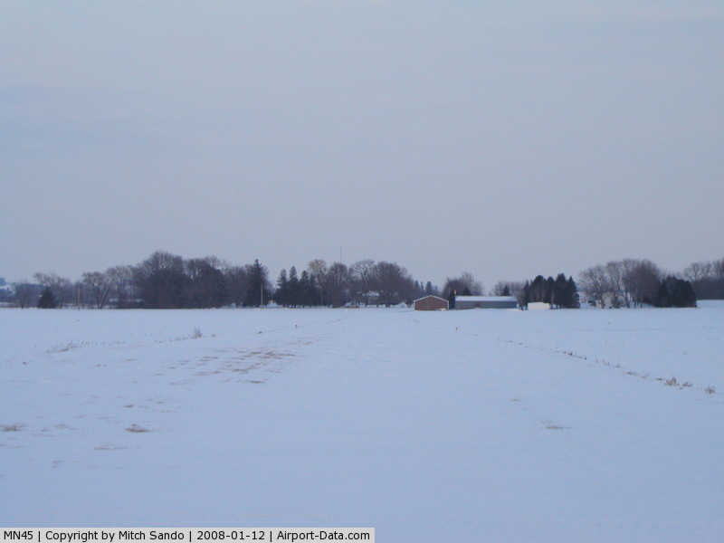
(Click on the photo to enlarge) |
Location & QuickFacts
| FAA Information Effective: | 2008-09-25 |
| Airport Identifier: | MN45 |
| Airport Status: | Operational |
| Longitude/Latitude: | 093-07-55.7750W/44-33-57.8760N
-93.132160/44.566077 (Estimated) |
| Elevation: | 951 ft / 289.86 m (Surveyed) |
| Land: | 0 acres |
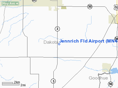
| From nearest city: | 3 nautical miles S of Farmington, MN |
| Location: | Dakota County, MN |
| Magnetic Variation: | 03E (1985) |
Owner & Manager
| Ownership: | Privately owned |
| Owner: | Arthur Jennrich |
| Address: | 26140 Cambodia Ave, Rte 1
Farmington, MN 55024 |
| Phone number: | 651-463-8302 |
| Manager: | Arthur Jennrich |
| Address: | 26140 Cambodia Ave, Rte 1
Farmington, MN 55024 |
| Phone number: | 651-463-8302 |
Airport Operations and Facilities
| Airport Use: | Private |
| Wind indicator: | Yes |
| Segmented Circle: | No |
| Control Tower: | No |
| Landing fee charge: | No |
| Sectional chart: | Twin Cities |
| Region: | AGL - Great Lakes |
| Boundary ARTCC: | ZMP - Minneapolis |
| Tie-in FSS: | PNM - Princeton |
| FSS on Airport: | No |
| FSS Toll Free: | 1-800-WX-BRIEF |
Airport Services
| Airframe Repair: | NONE |
| Power Plant Repair: | NONE |
Runway Information
Runway 09/27
| Dimension: | 2500 x 75 ft / 762.0 x 22.9 m |
| Surface: | TURF, |
| |
Runway 09 |
Runway 27 |
| Traffic Pattern: | Left | Left |
|
Radio Navigation Aids
| ID |
Type |
Name |
Ch |
Freq |
Var |
Dist |
| MS | NDB | Narco | | 266.00 | 02E | 15.7 nm |
| PPI | NDB | Hopey | | 400.00 | 03E | 20.2 nm |
| ACQ | NDB | Waseca | | 371.00 | 02E | 34.9 nm |
| GYL | NDB | Glencoe | | 407.00 | 03E | 42.4 nm |
| RNH | NDB | New Richmond | | 257.00 | 02E | 43.3 nm |
| OEO | NDB | Osceola | | 233.00 | 01E | 48.6 nm |
| MSP | VOR/DME | Minneapolis | 100X | 115.30 | 02E | 20.4 nm |
| FCM | VOR/DME | Flying Cloud | 055X | 111.80 | 06E | 20.9 nm |
| FOW | VOR/DME | Halfway | 049X | 111.20 | 02E | 24.0 nm |
| MKT | VOR/DME | Mankato | 045X | 110.80 | 07E | 39.4 nm |
| FGT | VORTAC | Farmington | 104X | 115.70 | 06E | 4.4 nm |
| GEP | VORTAC | Gopher | 120X | 117.30 | 06E | 36.3 nm |
| MSP | VOT | Minneapolis St Paul | | 111.00 | | 19.4 nm |
| STP | VOT | St Paul | | 114.40 | | 22.7 nm |
Images and information placed above are from
http://www.airport-data.com/airport/MN45/
We thank them for the data!
| General Info
|
| Country |
United States
|
| State |
MINNESOTA
|
| FAA ID |
MN45
|
| Latitude |
44-33-57.876N
|
| Longitude |
093-07-55.775W
|
| Elevation |
951 feet
|
| Near City |
FARMINGTON
|
We don't guarantee the information is fresh and accurate. The data may
be wrong or outdated.
For more up-to-date information please refer to other sources.
|
|