|
|
|
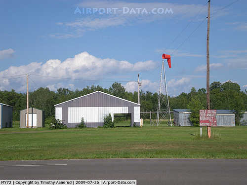 |
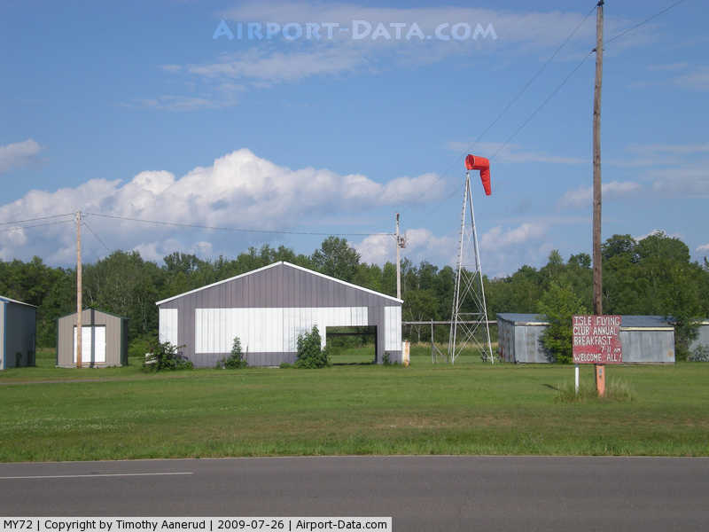
(Click on the photo to enlarge) |
Location & QuickFacts
| FAA Information Effective: | 2008-09-25 |
| Airport Identifier: | MY72 |
| Airport Status: | Operational |
| Longitude/Latitude: | 093-27-40.8510W/46-09-34.8370N
-93.461348/46.159677 (Estimated) |
| Elevation: | 1271 ft / 387.40 m (Estimated) |
| Land: | 35 acres |
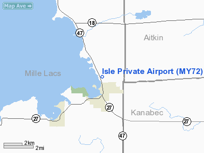
| From nearest city: | 2 nautical miles NE of Isle, MN |
| Location: | Mille Lacs County, MN |
| Magnetic Variation: | 03E (1985) |
Owner & Manager
| Ownership: | Privately owned |
| Owner: | Isle Flying Club, Inc. |
| Address: |
Isle, MN 56342 |
| Manager: | Roland Haggberg, Pres. |
| Address: | Hc69 Box 239
Isle, MN 56342 |
| Phone number: | 612-679-5790 |
Airport Operations and Facilities
| Airport Use: | Private |
| Wind indicator: | Yes |
| Segmented Circle: | No |
| Control Tower: | No |
| Landing fee charge: | No |
| Sectional chart: | Twin Cities |
| Region: | AGL - Great Lakes |
| Boundary ARTCC: | ZMP - Minneapolis |
| Tie-in FSS: | PNM - Princeton |
| FSS on Airport: | No |
| FSS Toll Free: | 1-800-WX-BRIEF |
Airport Services
| Fuel available: | 100LL |
| Airframe Repair: | NONE |
| Power Plant Repair: | NONE |
| Bottled Oxygen: | NONE |
| Bulk Oxygen: | NONE |
Runway Information
Runway 16/34
| Dimension: | 2460 x 160 ft / 749.8 x 48.8 m |
| Surface: | TURF, Fair Condition |
| |
Runway 16 |
Runway 34 |
| Traffic Pattern: | Left | Left |
| Markings: | None, | None, |
| Runway End Identifier: | No | No |
| Centerline Lights: | No | No |
| Touchdown Lights: | No | No |
| Obstruction: | 25 ft trees, 50.0 ft from runway, 130 ft left of centerline, 2:1 slope to clear | 65 ft trees, 800.0 ft from runway, 225 ft left of centerline, 10:1 slope to clear |
|
Radio Navigation Aids
| ID |
Type |
Name |
Ch |
Freq |
Var |
Dist |
| JMR | NDB | Mora | | 327.00 | 03E | 18.1 nm |
| AIT | NDB | Aitkin | | 397.00 | 03E | 24.9 nm |
| MZH | NDB | Moose Lake | | 362.00 | 02E | 31.3 nm |
| ROS | NDB | Rush City | | 282.00 | 02E | 34.9 nm |
| PNM | NDB | Princeton | | 368.00 | 03E | 36.3 nm |
| XCR | NDB | Ripley | | 404.00 | 03E | 37.1 nm |
| CBG | NDB | Cambridge | | 350.00 | 03E | 37.1 nm |
| LXL | NDB | Little Falls | | 359.00 | 03E | 38.8 nm |
| RYM | TACAN | Camp Ripley | 048X | | 03E | 37.4 nm |
| STC | VOR/DME | St Cloud | 058X | 112.10 | 03E | 44.4 nm |
| RZN | VOR/DME | Siren | 031X | 109.40 | 02E | 49.8 nm |
| BRD | VORTAC | Brainerd | 116X | 116.90 | 03E | 26.1 nm |
Images and information placed above are from
http://www.airport-data.com/airport/MY72/
We thank them for the data!
| General Info
|
| Country |
United States
|
| State |
MINNESOTA
|
| FAA ID |
MY72
|
| Latitude |
46-09-34.837N
|
| Longitude |
093-27-40.851W
|
| Elevation |
1271 feet
|
| Near City |
ISLE
|
We don't guarantee the information is fresh and accurate. The data may
be wrong or outdated.
For more up-to-date information please refer to other sources.
|
|