 |
|
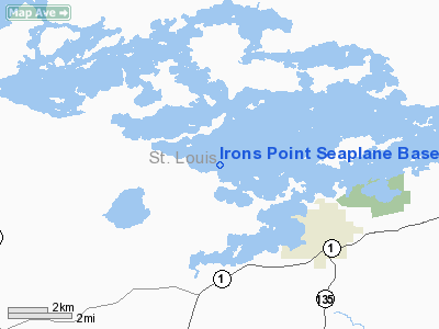
Irons Point Seaplane Base |
Location & QuickFacts
| FAA Information Effective: | 2008-09-25 |
| Airport Identifier: | MY38 |
| Airport Status: | Operational |
| Longitude/Latitude: | 092-21-02.5790W/47-50-35.7010N
-92.350716/47.843250 (Estimated) |
| Elevation: | 1358 ft / 413.92 m (Estimated) |
| Land: | 0 acres |
| From nearest city: | 5 nautical miles NW of Tower, MN |
| Location: | St Louis County, MN |
| Magnetic Variation: | 02E (1985) |
Owner & Manager
| Ownership: | Privately owned |
| Owner: | Willis B. Irons |
| Address: | 1793 Everett Bay Rd
Tower, MN 55790 |
| Phone number: | 218-753-6589 |
| Manager: | Willis B. Irons |
| Address: | 1793 Everett Bay Rd
Tower, MN 55790 |
| Phone number: | 218-753-6589 |
Airport Operations and Facilities
| Airport Use: | Private |
| Wind indicator: | No |
| Segmented Circle: | No |
| Control Tower: | No |
| Landing fee charge: | No |
| Sectional chart: | Green Bay |
| Region: | AGL - Great Lakes |
| Boundary ARTCC: | ZMP - Minneapolis |
| Tie-in FSS: | PNM - Princeton |
| FSS on Airport: | No |
| FSS Toll Free: | 1-800-WX-BRIEF |
Runway Information
Runway N/S
| Dimension: | 4000 x 1000 ft / 1219.2 x 304.8 m |
| Surface: | WATER, |
| |
Runway N |
Runway S |
| Traffic Pattern: | Left | Left |
|
Runway NW/SE
| Dimension: | 4700 x 1000 ft / 1432.6 x 304.8 m |
| Surface: | WATER, |
| |
Runway NW |
Runway SE |
| Traffic Pattern: | Left | Left |
|
Radio Navigation Aids
| ID |
Type |
Name |
Ch |
Freq |
Var |
Dist |
| CQM | NDB | Cook | | 233.00 | 01E | 13.8 nm |
| ORB | NDB | Orr | | 341.00 | 02E | 23.1 nm |
| SCG | NDB | Scott | | 385.00 | 02E | 25.5 nm |
| ELO | VOR/DME | Ely | 033X | 109.60 | 00E | 21.0 nm |
| EVM | VOR/DME | Eveleth | 019X | 108.20 | 01E | 26.0 nm |
| HIB | VOR/DME | Hibbing | 045X | 110.80 | 02E | 35.6 nm |
Images and information placed above are from
http://www.airport-data.com/airport/MY38/
We thank them for the data!
| General Info
|
| Country |
United States
|
| State |
MINNESOTA
|
| FAA ID |
MY38
|
| Latitude |
47-50-35.701N
|
| Longitude |
092-21-02.579W
|
| Elevation |
1358 feet
|
| Near City |
TOWER
|
We don't guarantee the information is fresh and accurate. The data may
be wrong or outdated.
For more up-to-date information please refer to other sources.
|
|


