 |
|
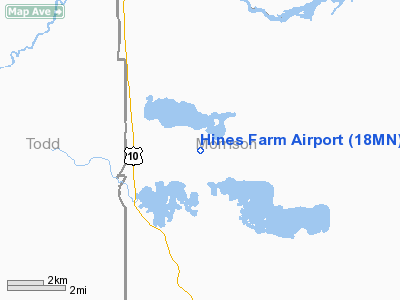
Location & QuickFacts
| FAA Information Effective: | 2008-09-25 |
| Airport Identifier: | 18MN |
| Airport Status: | Operational |
| Longitude/Latitude: | 094-35-35.0470W/46-14-13.8760N
-94.593069/46.237188 (Estimated) |
| Elevation: | 1283 ft / 391.06 m (Estimated) |
| Land: | 0 acres |
| From nearest city: | 6 nautical miles SE of Motley, MN |
| Location: | Morrison County, MN |
| Magnetic Variation: | 04E (1985) |
Owner & Manager
| Ownership: | Privately owned |
| Owner: | Detmer C. Hines |
| Address: | 3218 330th Street
Motley, MN 56466 |
| Phone number: | 218-575-2610 |
| Manager: | Detmer C. Hines |
| Address: | 3218 330th Street
Motley, MN 56466 |
| Phone number: | 218-575-2610 |
Airport Operations and Facilities
| Airport Use: | Private
PERSONAL USE. |
| Wind indicator: | Yes |
| Segmented Circle: | No |
| Control Tower: | No |
| Sectional chart: | Twin Cities |
| Region: | AGL - Great Lakes |
| Boundary ARTCC: | ZMP - Minneapolis |
| Tie-in FSS: | PNM - Princeton |
| FSS on Airport: | No |
| FSS Toll Free: | 1-800-WX-BRIEF |
Runway Information
Runway E/W
| Dimension: | 2600 x 50 ft / 792.5 x 15.2 m |
| Surface: | TURF, |
| |
Runway E |
Runway W |
| Traffic Pattern: | Left | Left |
| Obstruction: | | 25 ft trees, 50.0 ft from runway |
|
Radio Navigation Aids
| ID |
Type |
Name |
Ch |
Freq |
Var |
Dist |
| SAZ | NDB | Staples | | 257.00 | 04E | 12.4 nm |
| XCR | NDB | Ripley | | 404.00 | 03E | 14.1 nm |
| LXL | NDB | Little Falls | | 359.00 | 03E | 20.2 nm |
| PWC | NDB | Pine River | | 330.00 | 03E | 30.7 nm |
| PK | NDB | Spida | | 269.00 | 04E | 39.2 nm |
| EE | NDB | Tamie | | 374.00 | 04E | 40.0 nm |
| AIT | NDB | Aitkin | | 397.00 | 03E | 42.4 nm |
| GHW | NDB | Glenwood | | 346.00 | 03E | 46.8 nm |
| XVG | NDB | Longville | | 392.00 | 04E | 48.2 nm |
| RYM | TACAN | Camp Ripley | 048X | | 03E | 13.3 nm |
| AXN | VOR/DME | Alexandria | 075X | 112.80 | 07E | 31.5 nm |
| PKD | VOR/DME | Park Rapids | 043X | 110.60 | 04E | 44.4 nm |
| STC | VOR/DME | St Cloud | 058X | 112.10 | 03E | 47.0 nm |
| BRD | VORTAC | Brainerd | 116X | 116.90 | 03E | 24.5 nm |
Remarks
- OWNER DESIRES ARPT NOT TO BE CHARTED.
- FOR RECORD PURPOSES ONLY.
Images and information placed above are from
http://www.airport-data.com/airport/18MN/
We thank them for the data!
| General Info
|
| Country |
United States
|
| State |
MINNESOTA
|
| FAA ID |
18MN
|
| Latitude |
46-14-13.876N
|
| Longitude |
094-35-35.047W
|
| Elevation |
1283 feet
|
| Near City |
MOTLEY
|
We don't guarantee the information is fresh and accurate. The data may
be wrong or outdated.
For more up-to-date information please refer to other sources.
|
|


