|
|
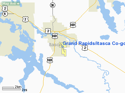
Grand Rapids / Itasca Co-gordon Newstrom Fld Airport |
Grand Rapids - Itasca County Airport
Gordon Newstrom Field |
| IATA: GPZ – ICAO: KGPZ |
| Summary |
| Airport type |
Public |
| Operator |
Grand Rapids / Itasca County, Minnesota |
| Location |
1,355 |
| Elevation AMSL |
413 ft / m |
| Coordinates |
47°12′40″N 93°30′35″W / 47.21111°N 93.50972°W / 47.21111; -93.50972Coordinates: 47°12′40″N 93°30′35″W / 47.21111°N 93.50972°W / 47.21111; -93.50972 |
| Runways |
| Direction |
Length |
Surface |
| ft |
m |
| 16/34 |
5,755 |
1,754 |
Asphalt |
| 4/22 |
2,968 |
905 |
Grass |
| 10/28 |
1,450 |
442 |
Turf |
Grand Rapids - Itasca County Airport (IATA: GPZ, ICAO: KGPZ), also known as Gordon Newstrom Field or Gordy Newstrom Field, is a public airport located two miles (3 km) southeast of the central business district (CBD) of Grand Rapids, a city in Itasca County, Minnesota, USA. The airport covers 1,400 acres (567 ha) and has three runways.
Scheduled commercial flights via Mesaba Airlines were discontinued in March 2004.
Cargo
- Bemidji Airlines (Minneapolis/St. Paul)
The above content comes from Wikipedia and is published under free licenses – click here to read more.
|
 |
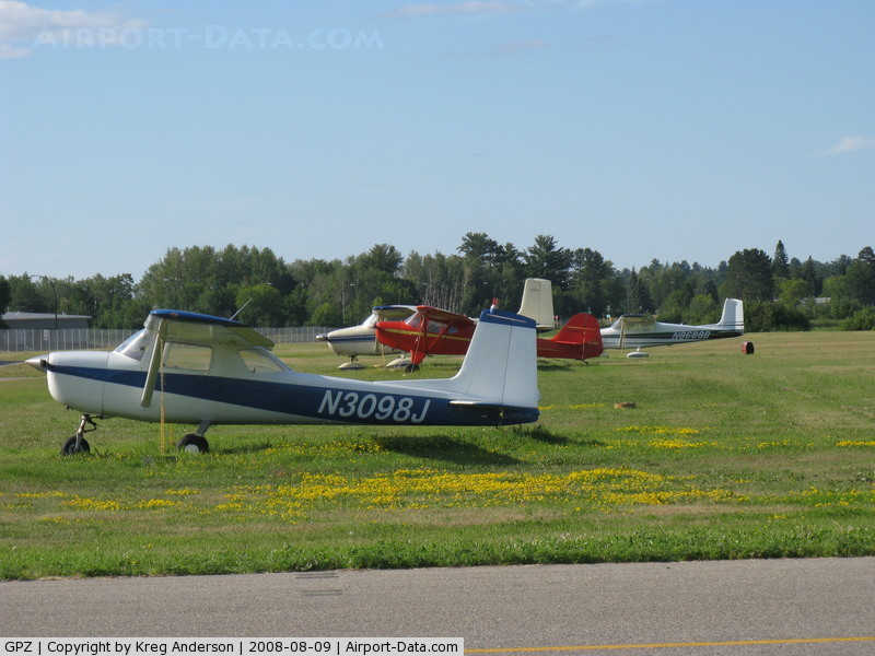
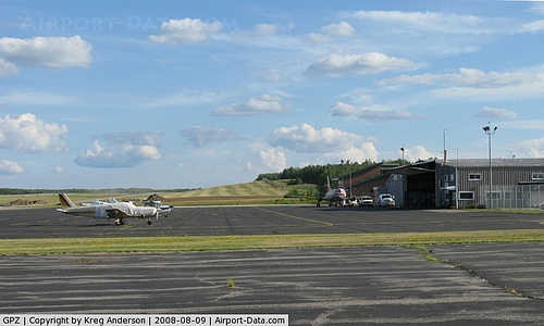
(Click on the photo to enlarge) |
|
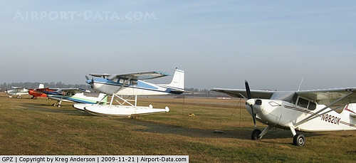
 |
(Click on the photo to enlarge) |
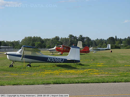
|
 |
(Click on the photo to enlarge) |
Location & QuickFacts
| FAA Information Effective: | 2008-09-25 |
| Airport Identifier: | GPZ |
| Airport Status: | Operational |
| Longitude/Latitude: | 093-30-35.4410W/47-12-39.9720N
-93.509845/47.211103 (Estimated) |
| Elevation: | 1355 ft / 413.00 m (Surveyed) |
| Land: | 1400 acres |
| From nearest city: | 2 nautical miles SE of Grand Rapids, MN |
| Location: | Itasca County, MN |
| Magnetic Variation: | 02E (1995) |
Owner & Manager
| Ownership: | Publicly owned |
| Owner: | Grand Rapids / Itasca Co |
| Address: | 1500 7th Ave Se
Grand Rapids, MN 55744 |
| Phone number: | 218-326-0893 |
| Manager: | Mark Hoyne |
| Address: | 1500 7th Ave Se
Grand Rapids, MN 55744 |
| Phone number: | 218-259-2733 |
Airport Operations and Facilities
| Airport Use: | Open to public |
| Wind indicator: | Yes |
| Segmented Circle: | Yes |
| Control Tower: | No |
| Lighting Schedule: | DUSK-DAWN
ACTVT HIRL 16/34 PAPI RWYS 16 & 34 REIL RWY 16 & MALSR 34 - 122.8. |
| Beacon Color: | Clear-Green (lighted land airport) |
| Landing fee charge: | No |
| Sectional chart: | Twin Cities |
| Region: | AGL - Great Lakes |
| Boundary ARTCC: | ZMP - Minneapolis |
| Tie-in FSS: | PNM - Princeton |
| FSS on Airport: | No |
| FSS Toll Free: | 1-800-WX-BRIEF |
| NOTAMs Facility: | GPZ (NOTAM-d service avaliable) |
| Federal Agreements: | NGY |
Airport Communications
| CTAF: | 122.800 |
| Unicom: | 122.800 |
Airport Services
| Fuel available: | 100LLA |
| Airframe Repair: | MAJOR |
| Power Plant Repair: | MAJOR |
| Bottled Oxygen: | NONE |
| Bulk Oxygen: | LOW |
Runway Information
Runway 04/22
| Dimension: | 2968 x 150 ft / 904.6 x 45.7 m
HAS A 582 FT PAVED AREA AT THE NORTH END OF RY. |
| Surface: | TURF, Fair Condition |
| |
Runway 04 |
Runway 22 |
| Longitude: | 093-30-42.8540W | 093-30-12.0820W |
| Latitude: | 47-12-43.0730N | 47-13-03.5260N |
| Alignment: | 46 | 127 |
| Traffic Pattern: | Left | Left |
| Markings: | None,
RYS 04/22 & 10/28 MKD WITH THLD & BOUNDRY MARKERS. | None, |
| Runway End Identifier: | No | No |
| Centerline Lights: | No | No |
| Touchdown Lights: | No | No |
| Obstruction: | 112 ft trees, 1400.0 ft from runway, 250 ft right of centerline, 12:1 slope to clear | 25 ft trees, 200.0 ft from runway, 8:1 slope to clear |
|
Runway 10/28
| Dimension: | 1450 x 150 ft / 442.0 x 45.7 m
HAS A 582 FT PAVED AREA AT THE NORTH END OF RY. |
| Surface: | TURF, Fair Condition |
| |
Runway 10 |
Runway 28 |
| Alignment: | 105 | 127 |
| Traffic Pattern: | Left | Left |
| Markings: | None, | None, |
| Runway End Identifier: | No | No |
| Centerline Lights: | No | No |
| Touchdown Lights: | No | No |
| Obstruction: | 80 ft trees, 1100.0 ft from runway, 200 ft right of centerline, 13:1 slope to clear | 20 ft trees, 100.0 ft from runway, 100 ft left of centerline, 5:1 slope to clear |
|
Runway 16/34
| Dimension: | 5755 x 100 ft / 1754.1 x 30.5 m
HAS A 582 FT PAVED AREA AT THE NORTH END OF RY. |
| Surface: | ASPH, Fair Condition |
| Surface Treatment: | Porous Friction Course |
| Weight Limit: | Single wheel: 23000 lbs.
Dual wheel: 38000 lbs.
Dual tandem wheel: 78000 lbs. |
| Edge Lights: | High |
| |
Runway 16 |
Runway 34 |
| Longitude: | 093-30-47.4900W | 093-30-26.7860W |
| Latitude: | 47-12-52.8470N | 47-11-57.8310N |
| Elevation: | 1297.00 ft | 1355.00 ft |
| Alignment: | 127 | 127 |
| ILS Type: | | ILS
|
| Traffic Pattern: | Left | Left |
| Markings: | Precision instrument, Fair Condition | Precision instrument, Fair Condition |
| Crossing Height: | 47.00 ft | 49.00 ft |
| Displaced threshold: | 423.00 ft | 0.00 ft |
| VASI: | 4-light PAPI on left side | 4-light PAPI on left side |
| Visual Glide Angle: | 3.00° | 3.00° |
| Approach lights: | | MALSR |
| Runway End Identifier: | Yes | No |
| Centerline Lights: | No | No |
| Touchdown Lights: | No | No |
| Obstruction: | 86 ft tree, 3607.0 ft from runway, 382 ft left of centerline, 39:1 slope to clear | 54 ft tree, 2366.0 ft from runway, 507 ft left of centerline, 40:1 slope to clear |
|
Radio Navigation Aids
| ID |
Type |
Name |
Ch |
Freq |
Var |
Dist |
| XVG | NDB | Longville | | 392.00 | 04E | 31.3 nm |
| FOZ | NDB | Bigfork | | 345.00 | 02E | 34.9 nm |
| AIT | NDB | Aitkin | | 397.00 | 03E | 40.5 nm |
| PWC | NDB | Pine River | | 330.00 | 03E | 46.2 nm |
| CQM | NDB | Cook | | 233.00 | 01E | 49.5 nm |
| GPZ | VOR/DME | Grand Rapids | 051X | 111.40 | 06E | 3.0 nm |
| HIB | VOR/DME | Hibbing | 045X | 110.80 | 02E | 33.3 nm |
| EVM | VOR/DME | Eveleth | 019X | 108.20 | 01E | 43.1 nm |
Remarks
- SEAPLANE OPNS ON LILY LAKE ADJ NORTH OF ARPT. PPR FOR LANDING LILY LAKE. CALL 218-326-1226.
- RY 4/22 & 10/28 CLSD TO WHEEL ACFT & RYS NOT MAINTAINED WHEN SNOW IS PRESENT..
- DEER AND BIRDS ON AND INVOF ARPT.
Images and information placed above are from
http://www.airport-data.com/airport/GPZ/
We thank them for the data!
| General Info
|
| Country |
United States
|
| State |
MINNESOTA
|
| FAA ID |
GPZ
|
| Latitude |
47-12-39.972N
|
| Longitude |
093-30-35.441W
|
| Elevation |
1355 feet
|
| Near City |
GRAND RAPIDS
|
We don't guarantee the information is fresh and accurate. The data may
be wrong or outdated.
For more up-to-date information please refer to other sources.
|
|