|
|
Grand Marais / Cook County Airport |
| Grand Marais/Cook County Airport |
 |
| IATA: GRM – ICAO: KCKC – FAA LID: CKC |
| Summary |
| Airport type |
Public |
| Owner |
Cook County |
| Serves |
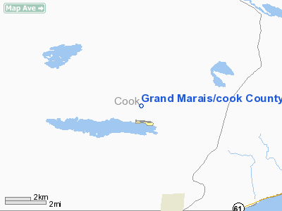
Grand Marais, Minnesota |
| Elevation AMSL |
1,799 ft / 548 m |
| Coordinates |
47°50′18″N 090°22′59″W / 47.83833°N 90.38306°W / 47.83833; -90.38306 |
| Website |
www.boreal.org/airport/ |
| Runways |
| Direction |
Length |
Surface |
| ft |
m |
| 9/27 |
4,199 |
1,280 |
Asphalt |
| Statistics (2005) |
| Aircraft operations |
3,200 |
| Source: Federal Aviation Administration |
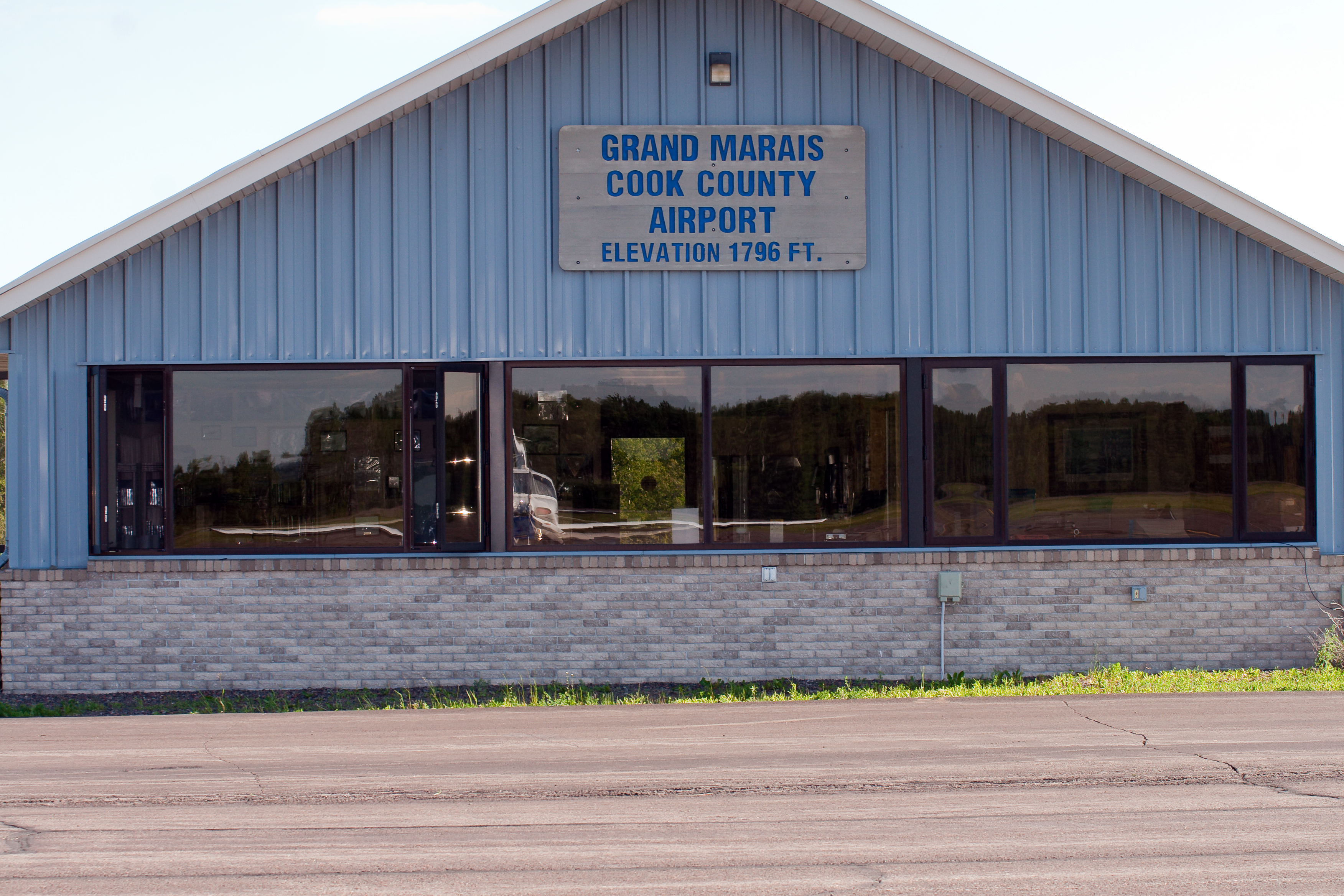
Grand Marais/Cook County Airport (IATA: GRM, ICAO: KCKC, FAA LID: CKC) is a county-owned, public-use airport located seven nautical miles (13 km) northwest of the central business district of Grand Marais, a city in Cook County, Minnesota, United States. This airport replaced the former Devil's Track Municipal Airport (FAA: GRM) located on the shore of Devil's Track Lake, one mile (1.6 km) south of the current airport.
Although most U.S. airports use the same three-letter location identifier for the FAA and IATA, Grand Marais/Cook County Airport is assigned CKC by the FAA and GRM by the IATA (which assigned CKC to Cherkasy, Ukraine). Facilities and aircraft
Grand Marais/Cook County Airport covers an area of 220 acres (89 ha) at an elevation of 1,799 feet (548 m) above mean sea level. It has one runway designated 9/27 with a 4,199 x 75 ft (1,280 x 23 m) asphalt surface. For the 12-month period ending July 31, 2005, the airport had 3,200 general aviation aircraft operations, an average of 267 per month.
In the summer of 2009, the airport received $95,000 for the FAA to conduct an environmental impact study on a proposed expansion to the airport. On May 26, 2009, airport manager Rod Roy told a Cook County board meeting that the expansion—which would widen the existing runway and increase its length to 5,000 feet from the existing 4,200 feet—would allow firefighting planes to operate from the airport. Roy also said that the project with cost approximaty $12 million and may be spread out over three years.
The above content comes from Wikipedia and is published under free licenses – click here to read more.
Location & QuickFacts
| FAA Information Effective: | 2008-09-25 |
| Airport Identifier: | CKC |
| Airport Status: | Operational |
| Longitude/Latitude: | 090-22-58.6000W/47-50-18.0000N
-90.382944/47.838333 (Estimated) |
| Elevation: | 1799 ft / 548.34 m (Surveyed) |
| Land: | 220 acres |
| From nearest city: | 7 nautical miles NW of Grand Marais, MN |
| Location: | Cook County, MN |
| Magnetic Variation: | 01W (1995) |
Owner & Manager
| Ownership: | Publicly owned |
| Owner: | Cook County |
| Address: | P.o. Box 1150
Grand Marais, MN 55604 |
| Phone number: | 218-837-3000 |
| Manager: | Rodney Roy |
| Address: | 123 Airport Rd.
Grand Marais, MN 55604 |
| Phone number: | 218-387-3024 |
Airport Operations and Facilities
| Airport Use: | Open to public |
| Wind indicator: | Yes |
| Segmented Circle: | Yes |
| Control Tower: | No |
| Lighting Schedule: | DUSK-DAWN
ACTVT MIRL RY 09/27, PAPI RYS 09 & 27 & REIL RYS 09 & 27 - CTAF. |
| Beacon Color: | Clear-Green (lighted land airport) |
| Landing fee charge: | No |
| Sectional chart: | Green Bay |
| Region: | AGL - Great Lakes |
| Boundary ARTCC: | ZMP - Minneapolis |
| Tie-in FSS: | PNM - Princeton |
| FSS on Airport: | No |
| FSS Toll Free: | 1-800-WX-BRIEF |
| NOTAMs Facility: | CKC (NOTAM-d service avaliable) |
| Federal Agreements: | NGSY |
Airport Communications
| CTAF: | 122.800 |
| Unicom: | 122.800 |
Airport Services
| Fuel available: | 100LLA
FOR SERVICE AFTER HOURS CALL 218-387-3024. |
| Airframe Repair: | MAJOR |
| Power Plant Repair: | MAJOR |
Runway Information
Runway 09/27
| Dimension: | 4199 x 75 ft / 1279.9 x 22.9 m |
| Surface: | ASPH, Good Condition |
| Edge Lights: | Medium |
| |
Runway 09 |
Runway 27 |
| Longitude: | 090-23-29.2978W | 090-22-27.9544W |
| Latitude: | 47-50-19.7241N | 47-50-16.3340N |
| Elevation: | 1799.00 ft | 1794.00 ft |
| Alignment: | 95 | 127 |
| Traffic Pattern: | Left | Left |
| Markings: | Non-precision instrument, Poor Condition
MARKINGS FADED. | Non-precision instrument, Poor Condition
MARKINGS FADED. |
| VASI: | 4-light PAPI on left side | 4-light PAPI on left side |
| Runway End Identifier: | Yes | Yes |
| Obstruction: | 10 ft trees, 201.0 ft from runway, 230 ft left of centerline
TREES +10, 100-200 FM END, 230L. | 25 ft trees, 382.0 ft from runway, 132 ft right of centerline, 7:1 slope to clear |
|
Radio Navigation Aids
| ID |
Type |
Name |
Ch |
Freq |
Var |
Dist |
| CKC | NDB | Cook County | | 358.00 | 01W | 0.1 nm |
| QT | NDB | Thunder Bay | | 332.00 | 01W | 48.8 nm |
| YQT | VORTAC | Thunder Bay | 088X | 114.10 | 01W | 45.5 nm |
Remarks
- CUSTOMS AVBL MAY 15-OCT 15.
Images and information placed above are from
http://www.airport-data.com/airport/CKC/
We thank them for the data!
| General Info
|
| Country |
United States
|
| State |
MINNESOTA
|
| FAA ID |
CKC
|
| Latitude |
47.838333
47° 50' 18.00" N
|
| Longitude |
-90.382944
090° 22' 58.60" W
|
| Elevation |
1799 feet
548 meters
|
| Magnetic Variation |
002° W (01/06)
|
| Beacon |
Yes
|
| Operating Agency |
U.S.CIVIL AIRPORT WHEREIN PERMIT COVERS USE BY TRANSIT MILITARY AIRCRAFT
|
| Daylight Saving Time |
Second Sunday in March at 0200 to first Sunday in November at 0200 local time (Exception Arizona and that portion of Indiana in the Eastern Time Zone)
|
We don't guarantee the information is fresh and accurate. The data may
be wrong or outdated.
For more up-to-date information please refer to other sources.
|
|