|
|
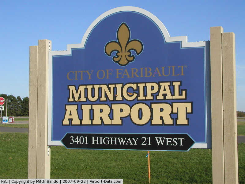
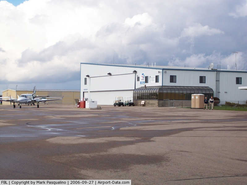
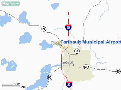
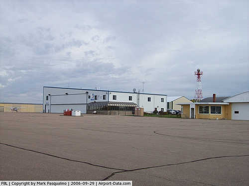
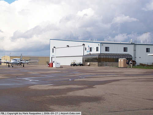
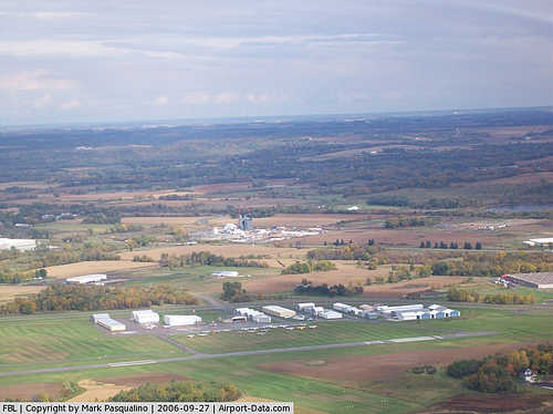
Faribault Municipal Airport |
|
 |
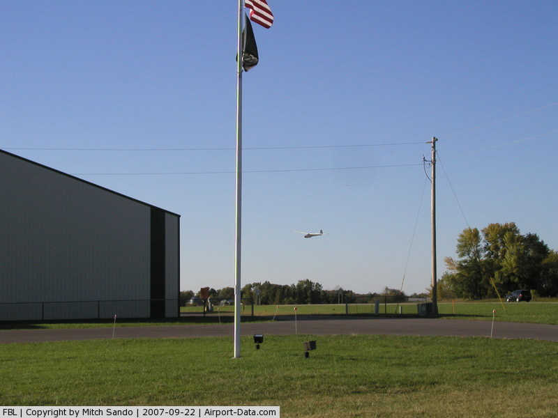
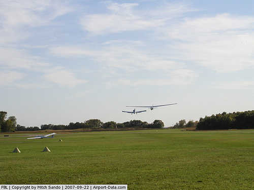
(Click on the photo to enlarge) |
|
 |
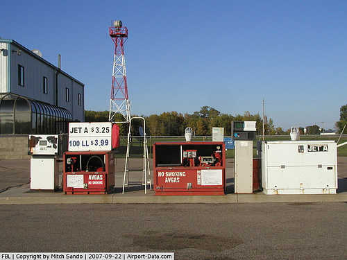
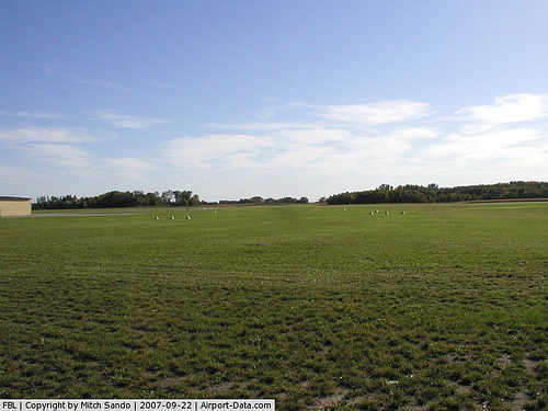
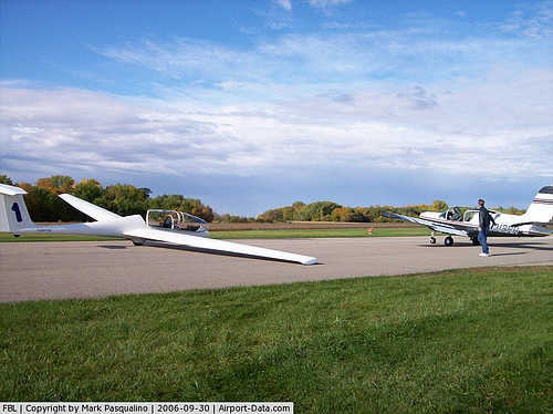
(Click on the photo to enlarge) |
|
 |
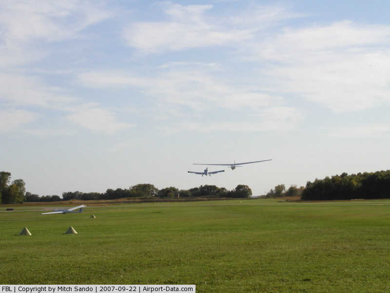
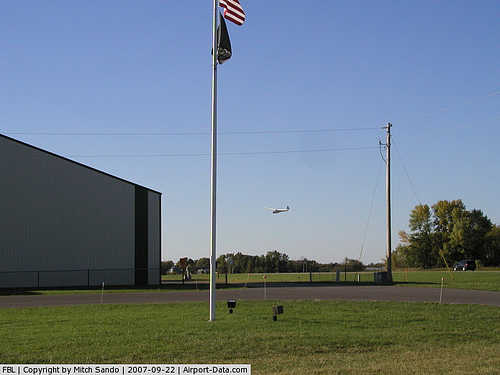
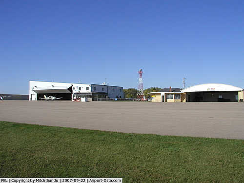
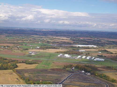
(Click on the photo to enlarge) |
|
 |
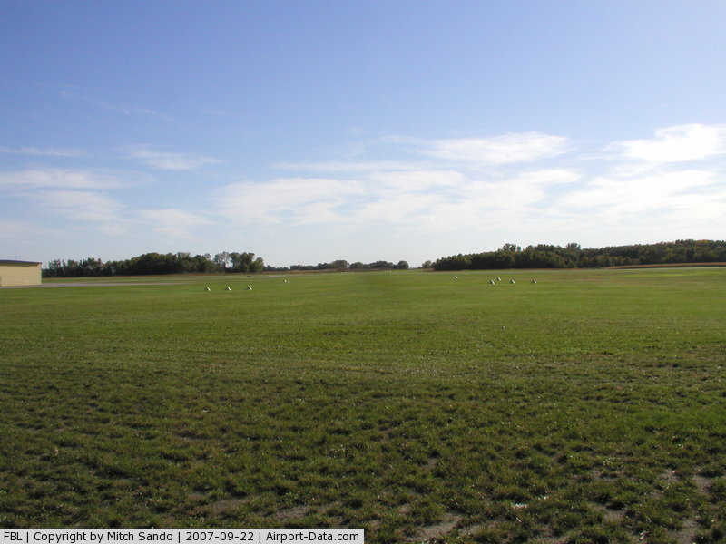
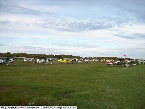
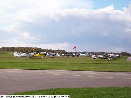
(Click on the photo to enlarge) |
|
 |
(Click on the photo to enlarge) |
|
 |
(Click on the photo to enlarge) |
|
 |
(Click on the photo to enlarge) |
|
 |
(Click on the photo to enlarge) |
|
 |
(Click on the photo to enlarge) |
|
 |
(Click on the photo to enlarge) |
|
 |
(Click on the photo to enlarge) |
|
 |
(Click on the photo to enlarge) |
|
 |
(Click on the photo to enlarge) |
Location & QuickFacts
| FAA Information Effective: | 2008-09-25 |
| Airport Identifier: | FBL |
| Airport Status: | Operational |
| Longitude/Latitude: | 093-18-38.4063W/44-19-39.1592N
-93.310668/44.327544 (Estimated) |
| Elevation: | 1060 ft / 323.09 m (Surveyed) |
| Land: | 208 acres |
| From nearest city: | 3 nautical miles NW of Faribault, MN |
| Location: | Rice County, MN |
| Magnetic Variation: | 02E (2000) |
Owner & Manager
| Ownership: | Publicly owned |
| Owner: | City Of Faribault |
| Address: | 208 1st Ave, Nw
Faribault, MN 55021 |
| Phone number: | 507-334-2222 |
| Manager: | Gerald Serres |
| Address: | 3401 W Trunk Hwy 21
Faribault, MN 55021 |
| Phone number: | 507-332-0140 |
Airport Operations and Facilities
| Airport Use: | Open to public |
| Wind indicator: | Yes |
| Segmented Circle: | No |
| Control Tower: | No |
| Lighting Schedule: | DUSK-DAWN
ACTVT MIRL RY 12/30; VASI RYS 12 & 30; & REIL RY 12 & 30 CTAF. |
| Beacon Color: | Clear-Green (lighted land airport) |
| Landing fee charge: | No |
| Sectional chart: | Omaha |
| Region: | AGL - Great Lakes |
| Boundary ARTCC: | ZMP - Minneapolis |
| Tie-in FSS: | PNM - Princeton |
| FSS on Airport: | No |
| FSS Toll Free: | 1-800-WX-BRIEF |
| NOTAMs Facility: | FBL (NOTAM-d service avaliable) |
| Federal Agreements: | NGY |
Airport Communications
| CTAF: | 122.800 |
| Unicom: | 122.800 |
Airport Services
| Fuel available: | 100LLA
SELF SVC FUEL WITH CREDIT CARD. |
| Airframe Repair: | MAJOR |
| Power Plant Repair: | MAJOR |
| Bottled Oxygen: | LOW |
Runway Information
Runway 02/20
| Dimension: | 2025 x 140 ft / 617.2 x 42.7 m |
| Surface: | TURF, Good Condition |
| |
Runway 02 |
Runway 20 |
| Longitude: | 093-18-36.2840W | 093-18-26.2071W |
| Latitude: | 44-19-26.8690N | 44-19-45.5114N |
| Alignment: | 21 | 127 |
| Traffic Pattern: | Left | Left |
| Obstruction: | 49 ft trees, 1300.0 ft from runway, 26:1 slope to clear | 39 ft trees, 600.0 ft from runway, 130 ft left of centerline, 15:1 slope to clear |
|
Runway 12/30
| Dimension: | 4254 x 72 ft / 1296.6 x 21.9 m |
| Surface: | ASPH, Good Condition |
| Weight Limit: | Single wheel: 16000 lbs.
Dual wheel: 22000 lbs. |
| Edge Lights: | Medium |
| |
Runway 12 |
Runway 30 |
| Longitude: | 093-19-05.1520W | 093-18-18.4780W |
| Latitude: | 44-19-53.2420N | 44-19-27.9030N |
| Elevation: | 1060.00 ft | 1048.00 ft |
| Alignment: | 127 | 127 |
| Traffic Pattern: | Left | Left |
| Markings: | Non-precision instrument, Good Condition | Non-precision instrument, Good Condition |
| Crossing Height: | 22.00 ft | 22.00 ft |
| Displaced threshold: | 0.00 ft | 237.00 ft |
| VASI: | 2-box on left side | 2-box on left side |
| Visual Glide Angle: | 3.00° | 3.00° |
| Runway End Identifier: | Yes | Yes |
| Obstruction: | 30 ft trees, 230.0 ft from runway, 210 ft right of centerline, 1:1 slope to clear | 15 ft road, 470.0 ft from runway, 280 ft right of centerline, 18:1 slope to clear
RWY 30 APCH SLOPE 33:1 FM DSPLCD THR. |
|
Radio Navigation Aids
| ID |
Type |
Name |
Ch |
Freq |
Var |
Dist |
| ACQ | NDB | Waseca | | 371.00 | 02E | 18.6 nm |
| MS | NDB | Narco | | 266.00 | 02E | 31.4 nm |
| PPI | NDB | Hopey | | 400.00 | 03E | 36.4 nm |
| GYL | NDB | Glencoe | | 407.00 | 03E | 42.2 nm |
| FOW | VOR/DME | Halfway | 049X | 111.20 | 02E | 7.8 nm |
| MKT | VOR/DME | Mankato | 045X | 110.80 | 07E | 26.7 nm |
| FCM | VOR/DME | Flying Cloud | 055X | 111.80 | 06E | 30.6 nm |
| MSP | VOR/DME | Minneapolis | 100X | 115.30 | 02E | 34.3 nm |
| AEL | VOR/DME | Albert Lea | 035X | 109.80 | 05E | 38.9 nm |
| RST | VOR/DME | Rochester | 057X | 112.00 | 05E | 45.0 nm |
| JAY | VOR/DME | Austin | 019X | 108.20 | 03E | 48.2 nm |
| FGT | VORTAC | Farmington | 104X | 115.70 | 06E | 19.1 nm |
| GEP | VORTAC | Gopher | 120X | 117.30 | 06E | 49.2 nm |
| MSP | VOT | Minneapolis St Paul | | 111.00 | | 33.7 nm |
| STP | VOT | St Paul | | 114.40 | | 38.4 nm |
Remarks
- GCO AVBL ON FREQ 121.725 THRU MSP CD & FLT SVCS.
- RY 02/20 NOT PLOWED WINTER MONTHS.
- ULTRALIGHTS & GLDRS USE TAXIWAY AND EXTENDED TAXIWAY PARALLEL TO RY 12/30. ULTRALIGHTS & GLDRS USING TAXIWAY FLY PATTERN ON NE SIDE OF RWY 12/30.
- WHEN LNDG ON RY 12, BE ALERT FOR TURBULENCE & POSS WINDSHEAR WHEN WINDS ARE OUT OF THE SOUTH.
Images and information placed above are from
http://www.airport-data.com/airport/FBL/
We thank them for the data!
| General Info
|
| Country |
United States
|
| State |
MINNESOTA
|
| FAA ID |
FBL
|
| Latitude |
44-19-28.868N
|
| Longitude |
093-18-38.984W
|
| Elevation |
1060 feet
|
| Near City |
FARIBAULT
|
We don't guarantee the information is fresh and accurate. The data may
be wrong or outdated.
For more up-to-date information please refer to other sources.
|
|